Winter Field Day, Summer Field Day, "Summits On The Air" with W7MRC, Amateur Radio, Rhodesian Ridgebacks, Field Craft, Living in Montana, Old 4 Wheel Drives, Old Tube Radios, Hiking and "Just Getting Out There"
Thursday, September 12, 2019
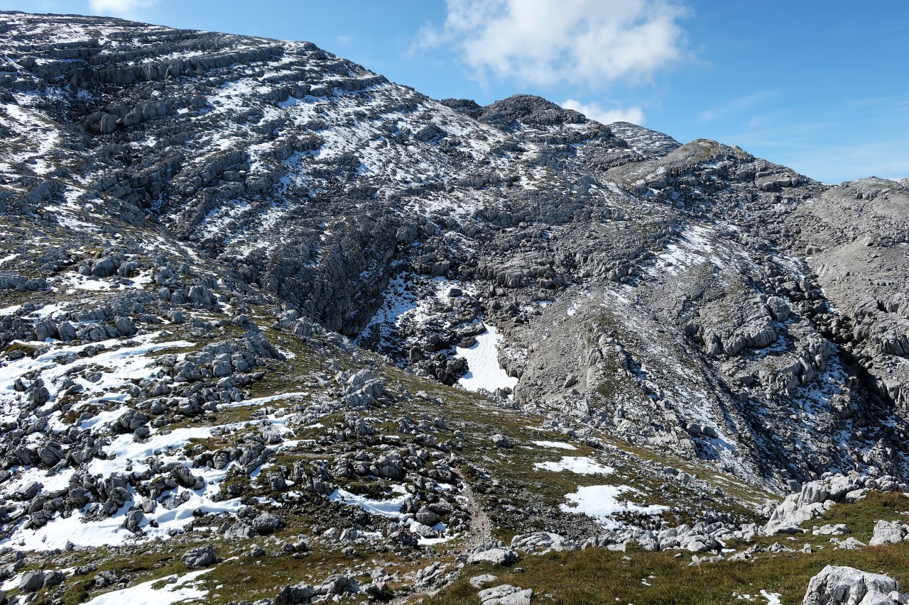
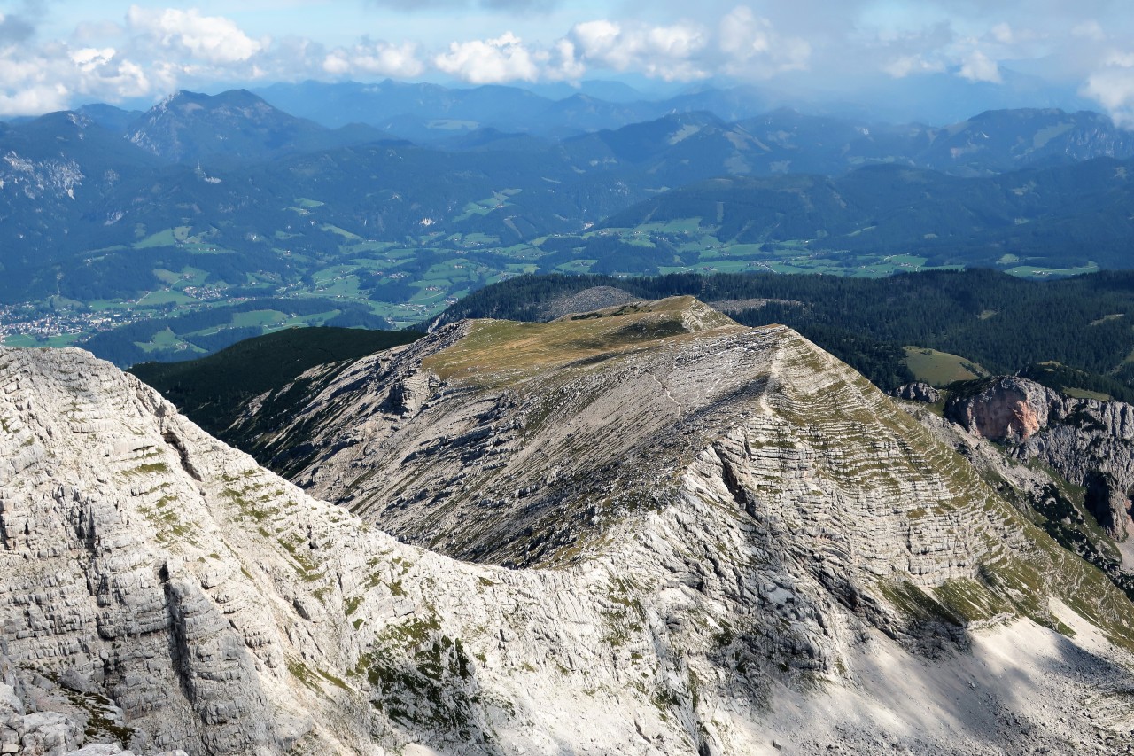
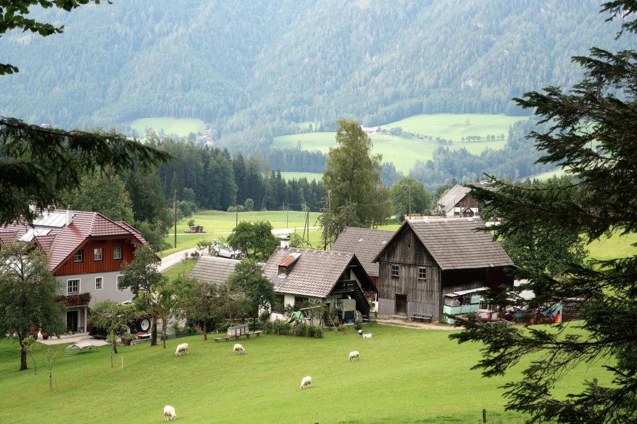
Warscheneck from https://oe5akm.tumblr.com
Date : 11.9.2019
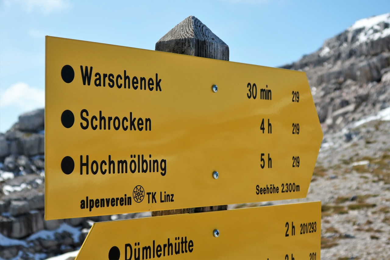
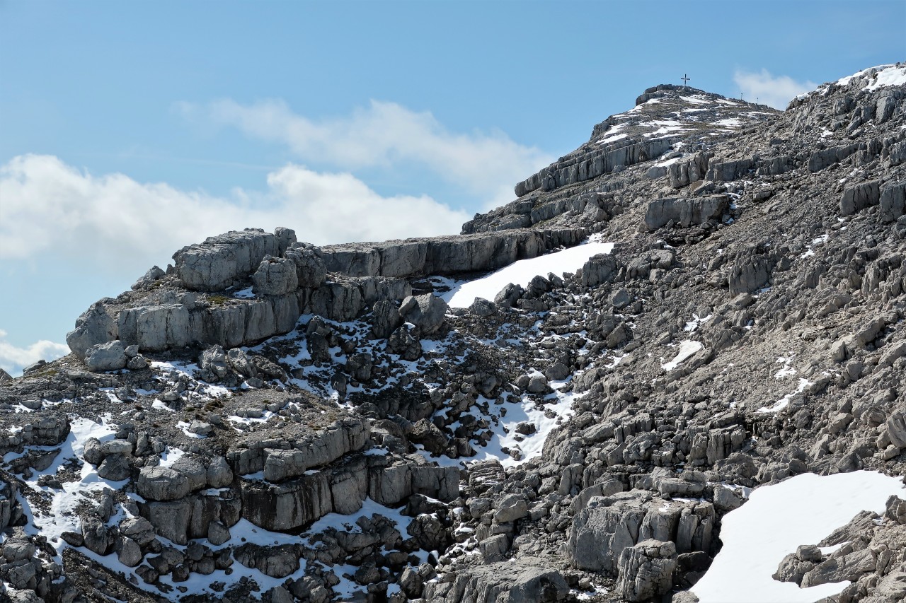
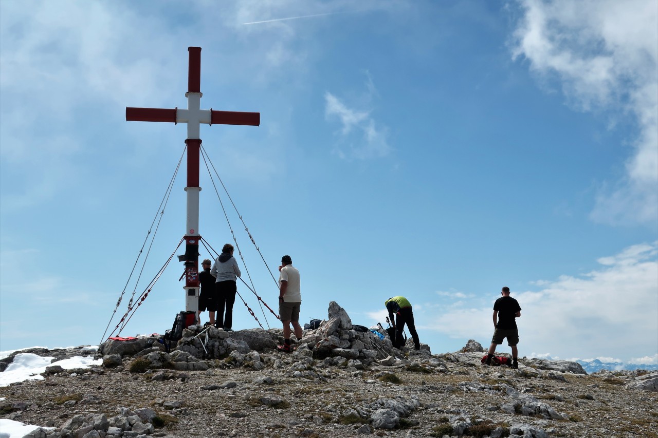
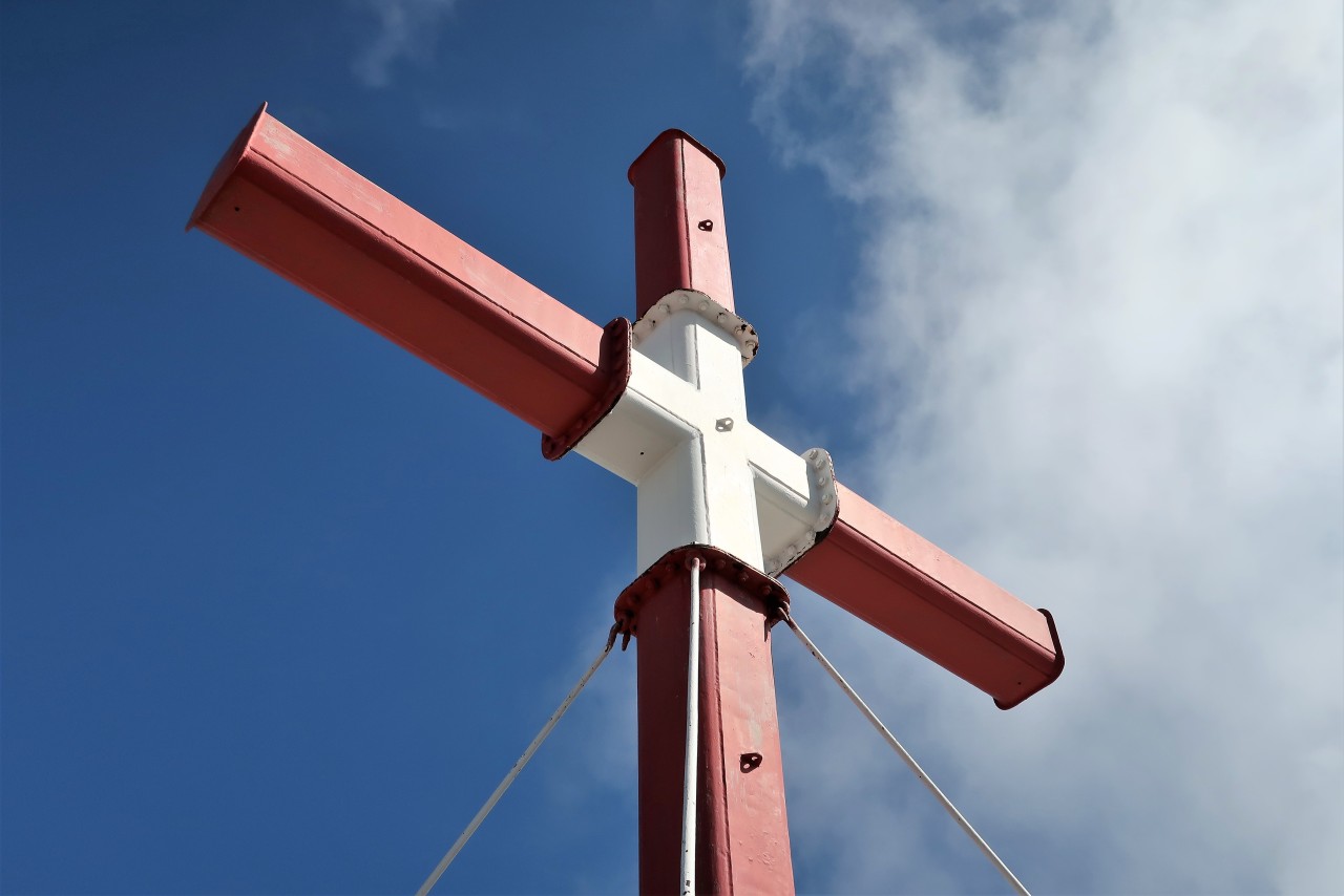
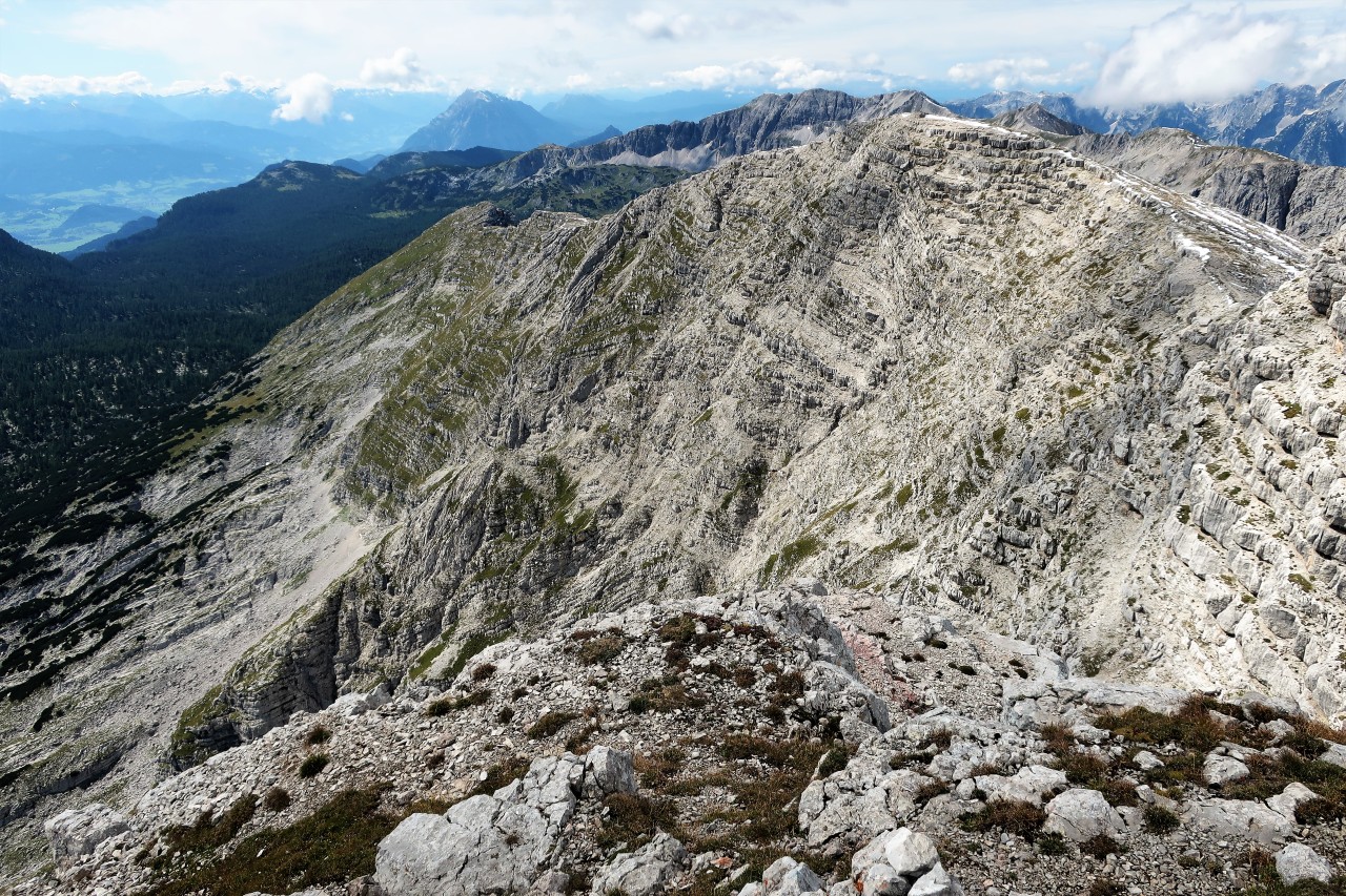
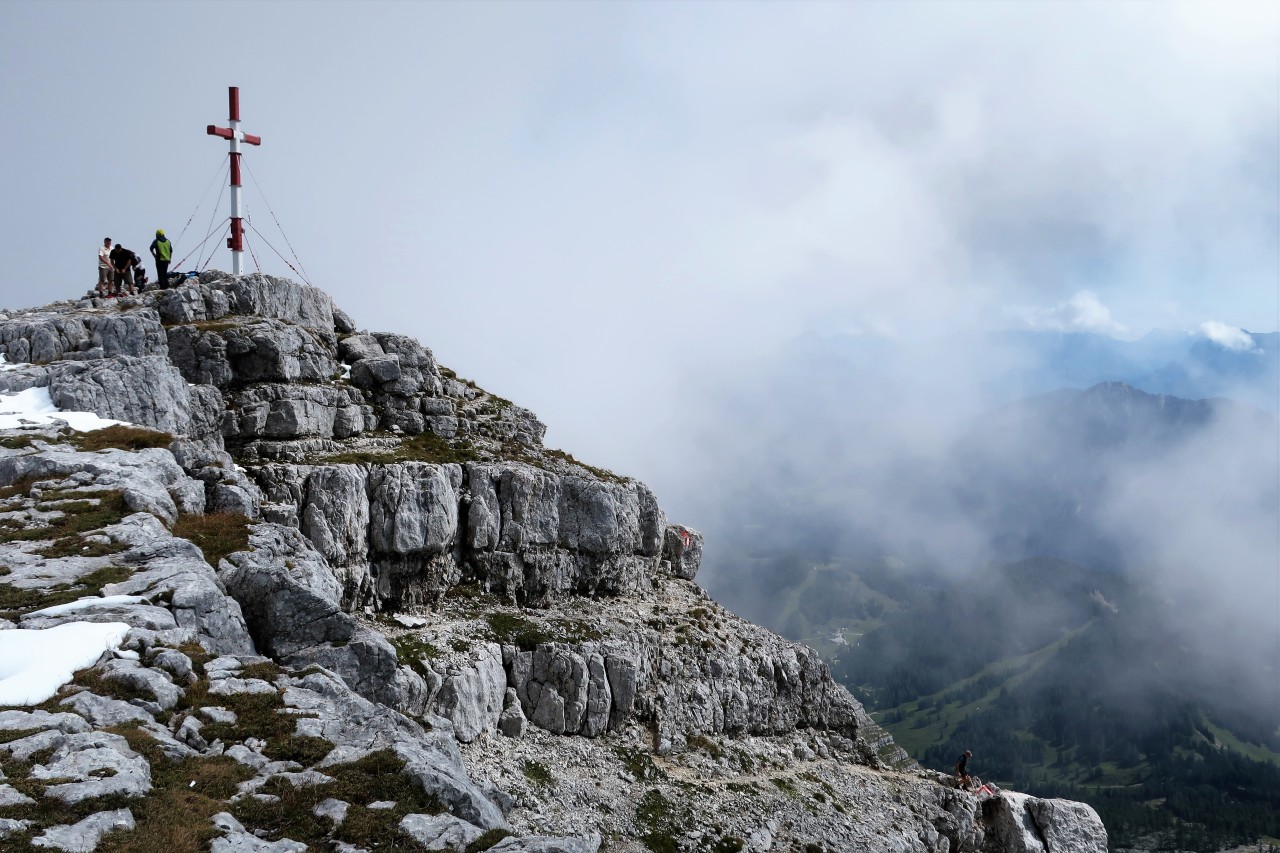
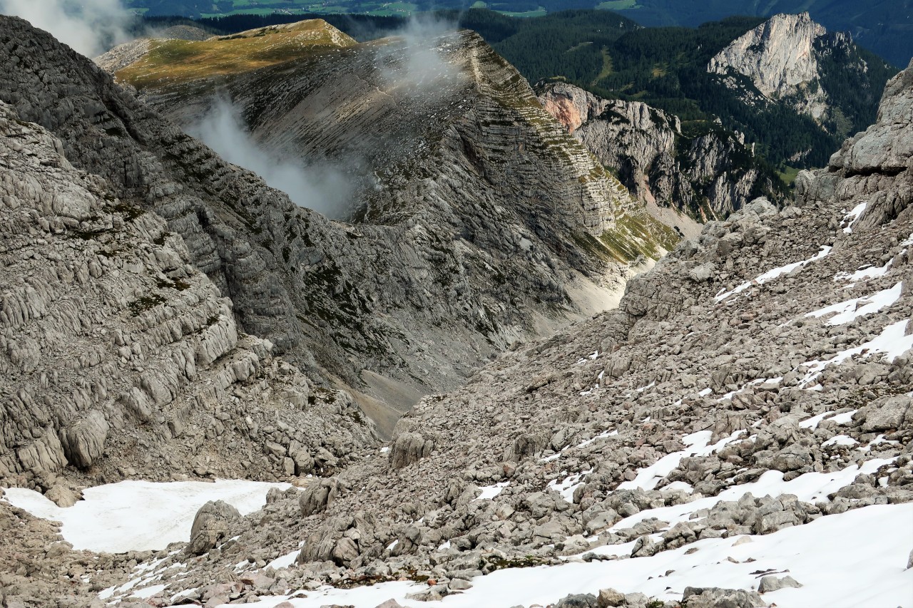
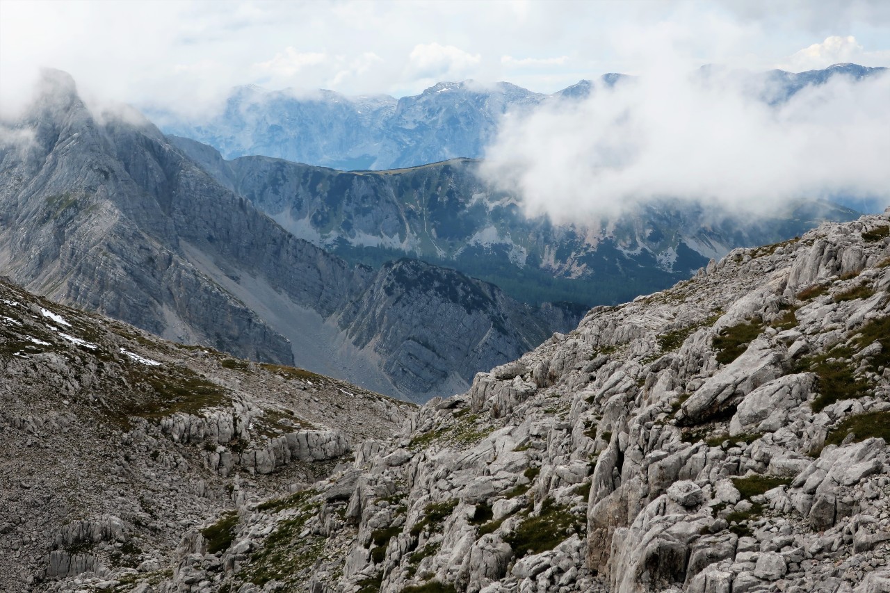
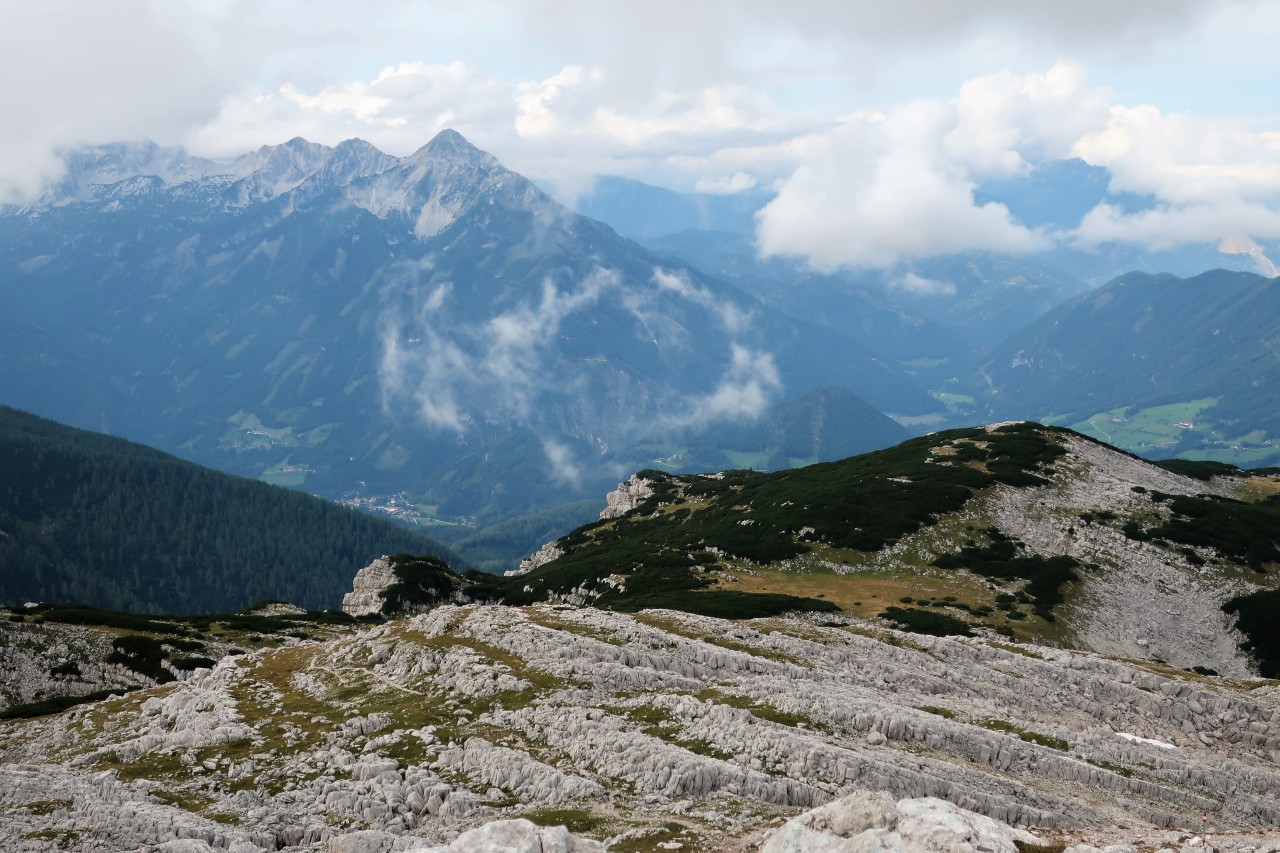
Activity: Mountaineering on the Warscheneck (2388 m, JN77CP, SOTA / GMA); Descent like ascent
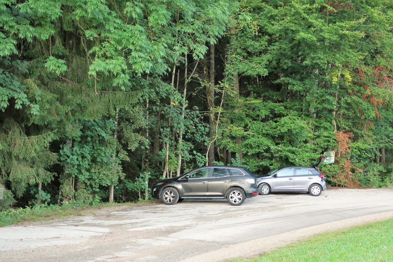
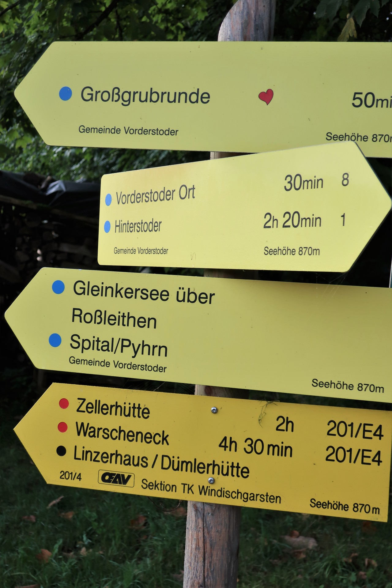
Start and finish: Vorderstoder / Parking Schafferteich
Total duration: 9; 45 hours
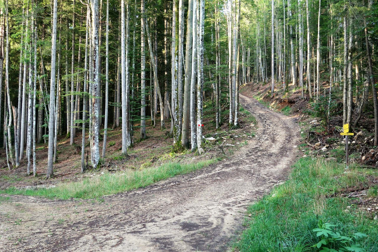
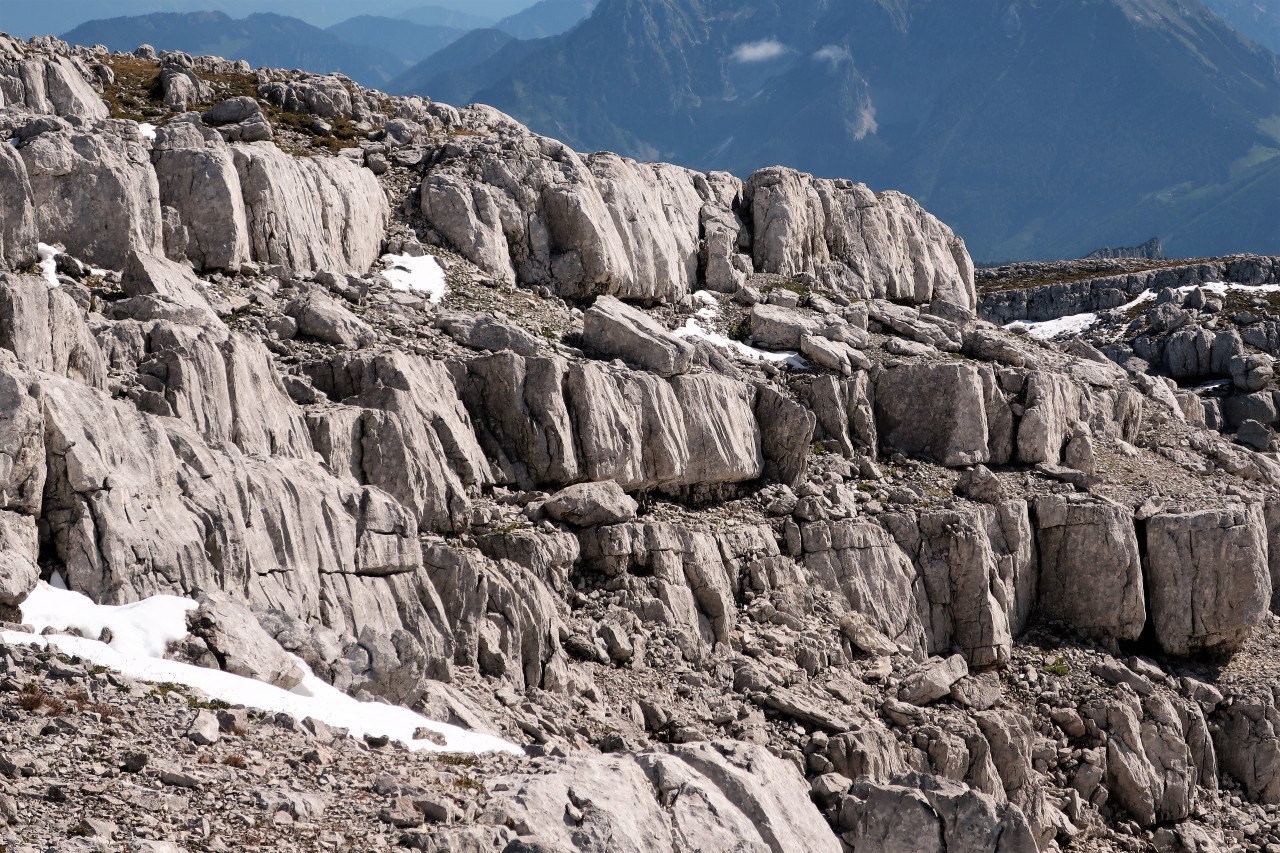
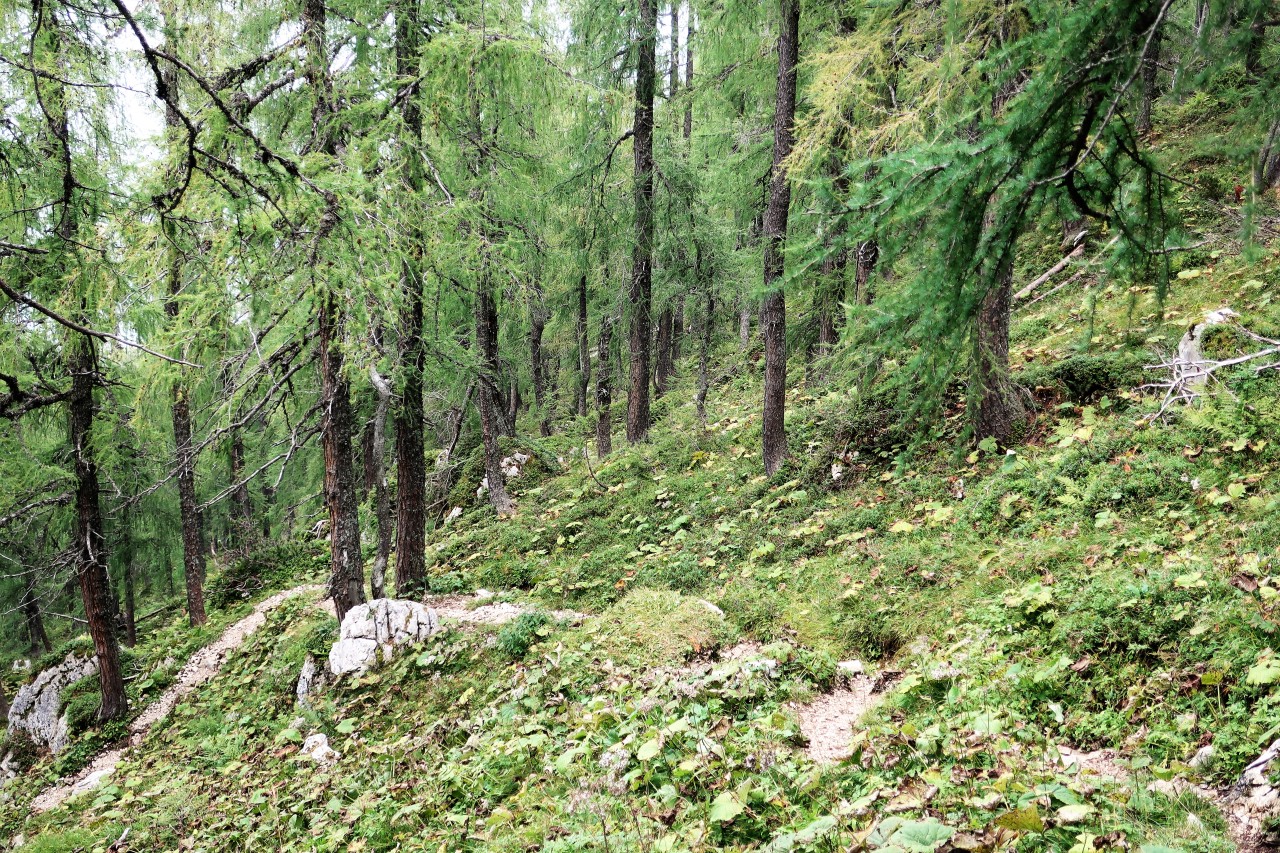
Trail: well signposted / marked forest roads, forest and meadow paths and rocky paths
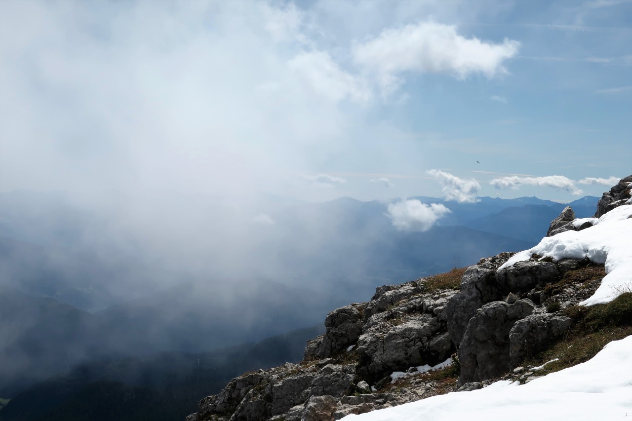
Weather: cloudy with large sunshine windows, temporary fog, pleasant hiking temperatures, little wind
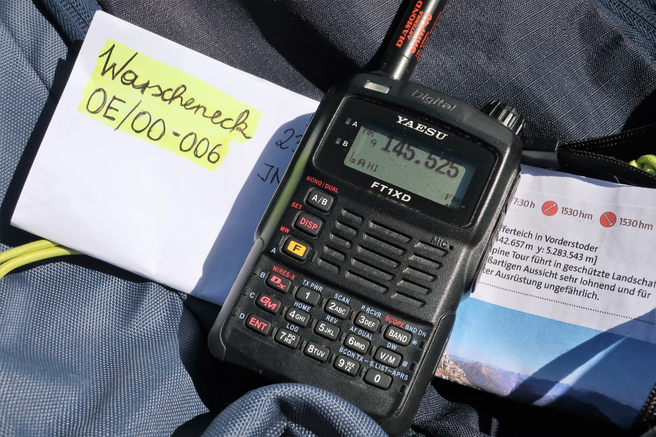
Amateur Radio: Yaesu FT1XDE with flexible plug antenna (Diamond SRHF-40); Max. 5 W FM on 2 m and 70 cm
QRV on the Warscheneck (2388 m, JN77CP, SOTA / GMA): QSOs on 2 m simplex frequencies (partly S2S) with Sebastian, DL8MEK; Danny, DO2DAP; Gerhard, OE1WED; Peter, OE15SOTA (special call sign on the occasion of 15 years SOTA in OE); Sylvia, OE5YYN; Sabine, OE5SLE; Martin, OE5REO and Gerold, OE5GEL. Not bad for a weekday!
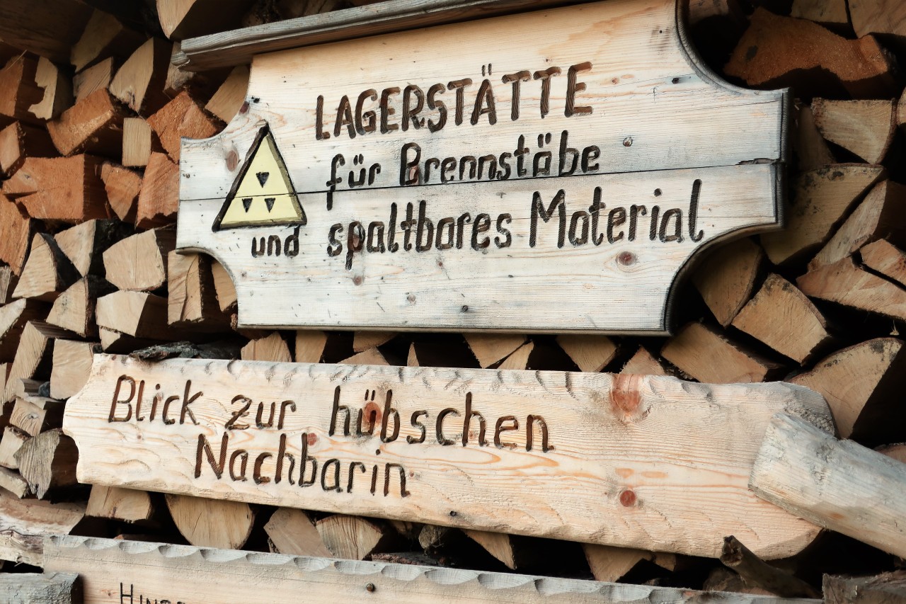
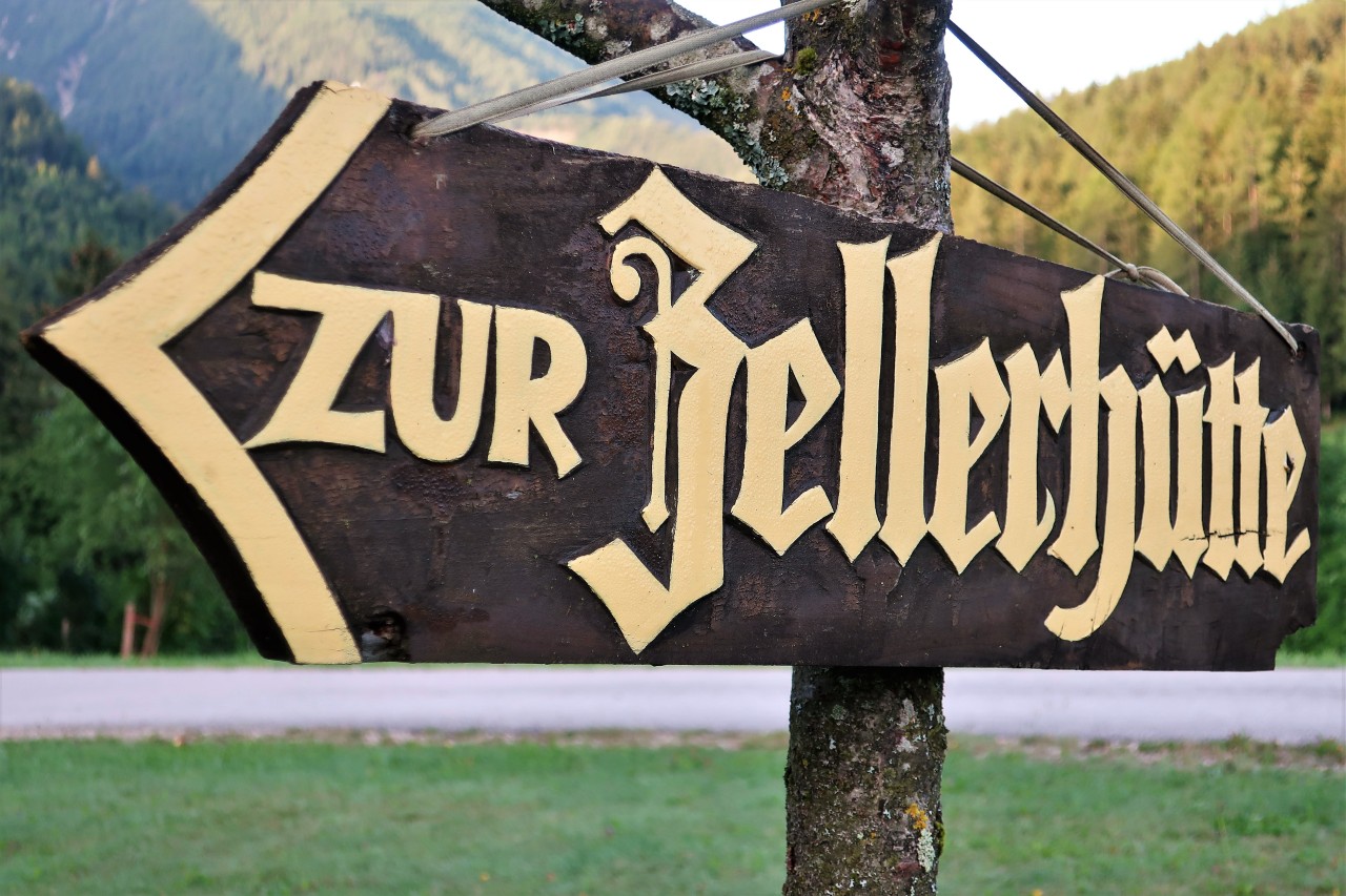
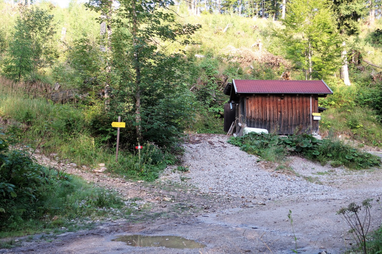
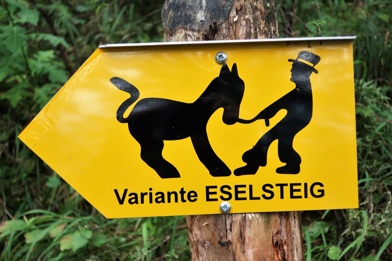
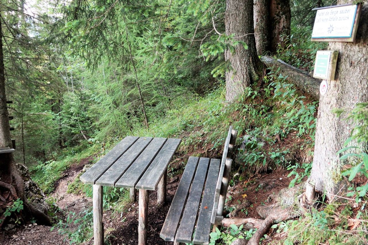
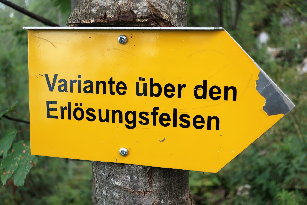
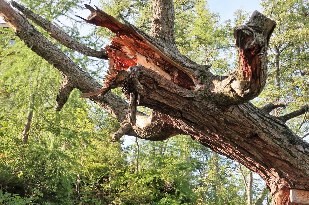
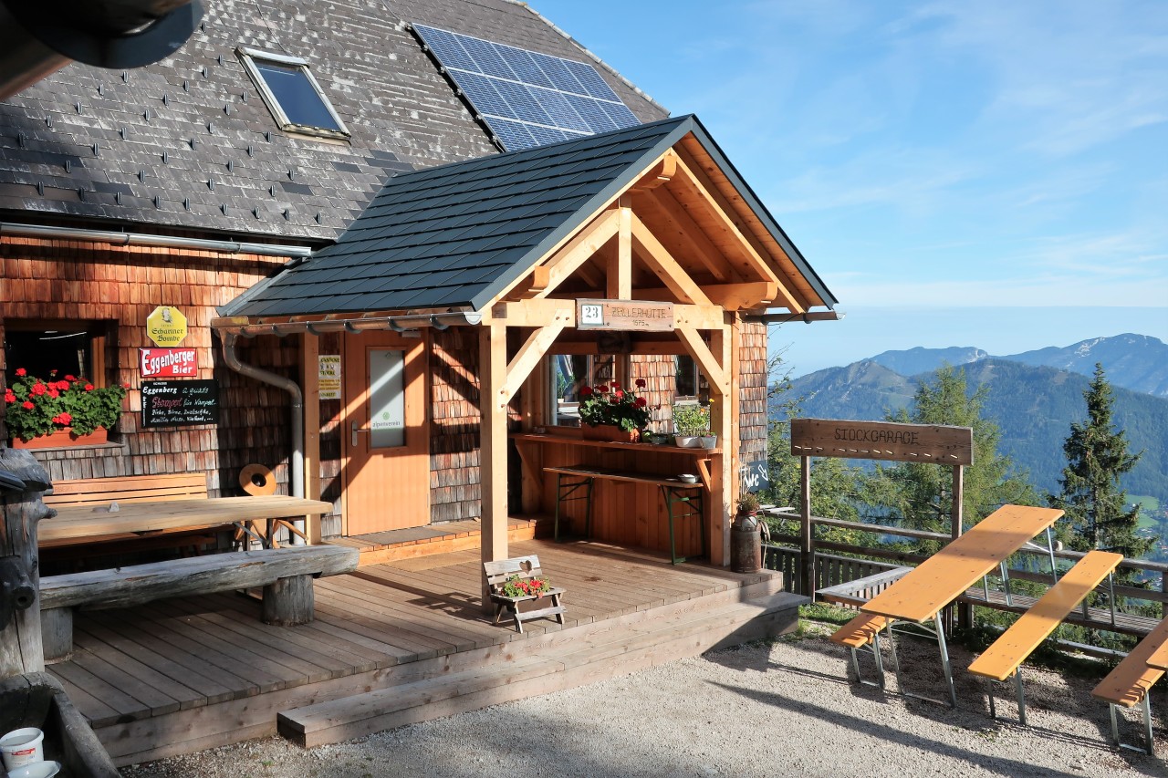
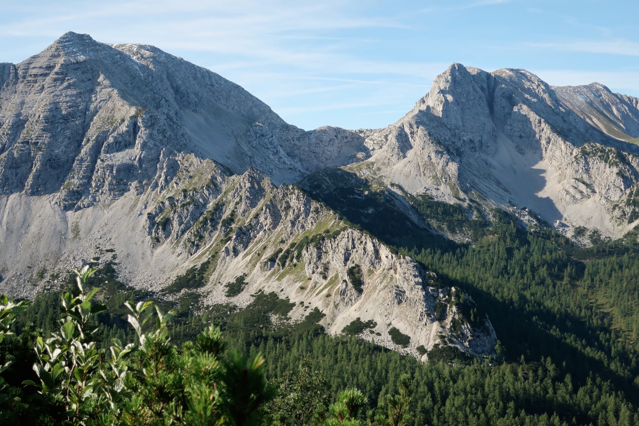
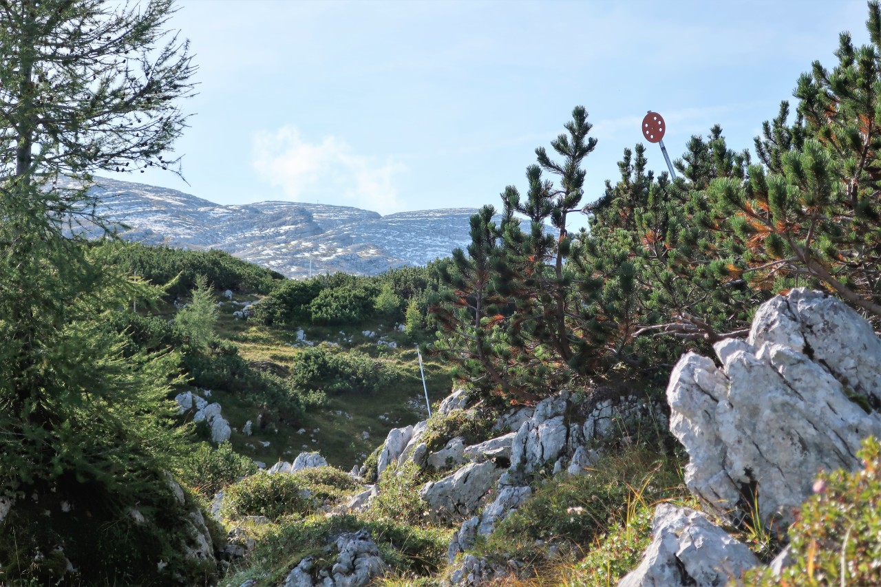
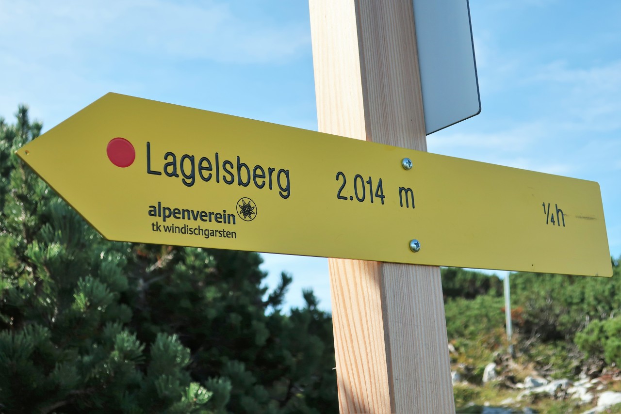
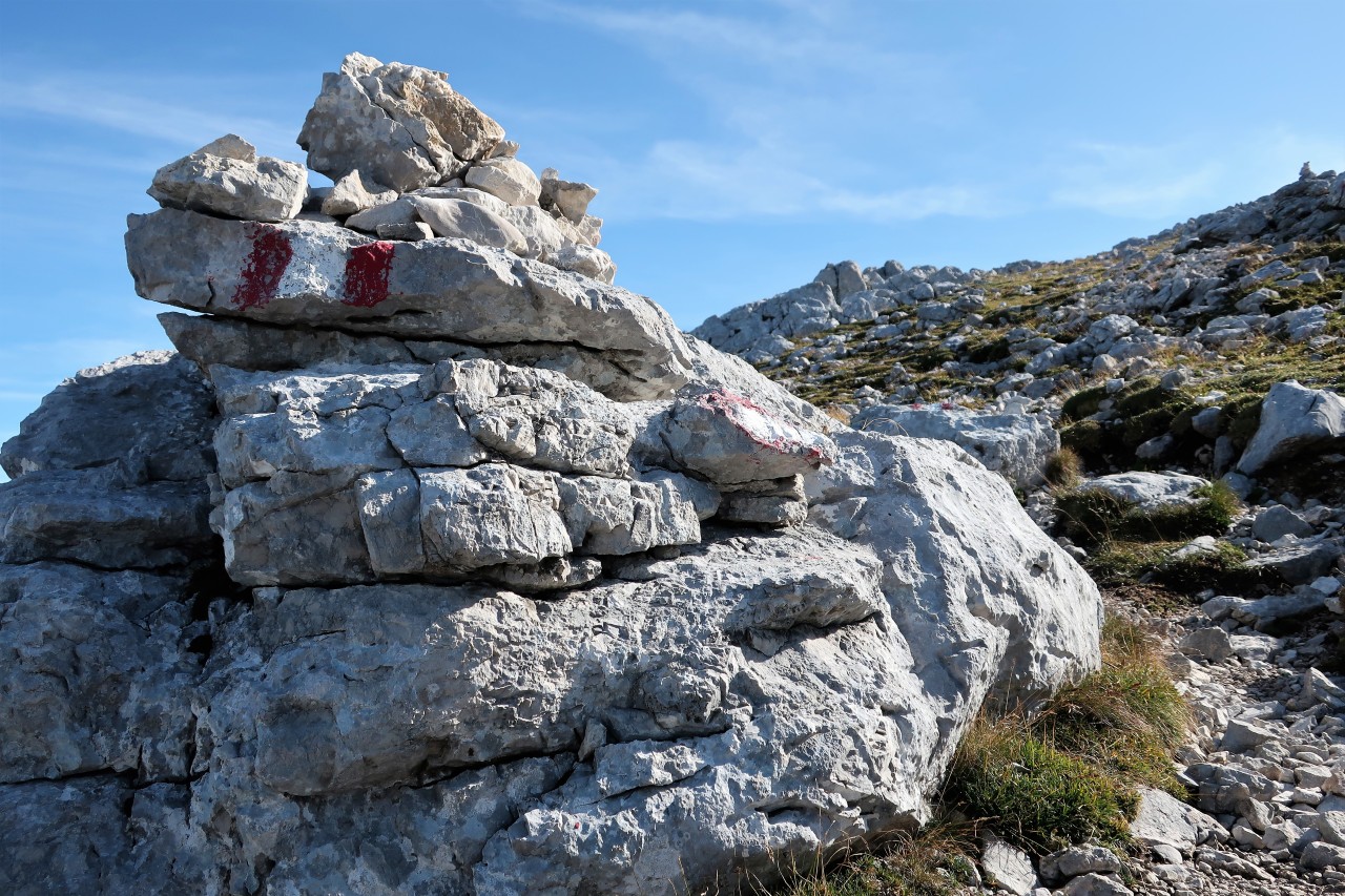
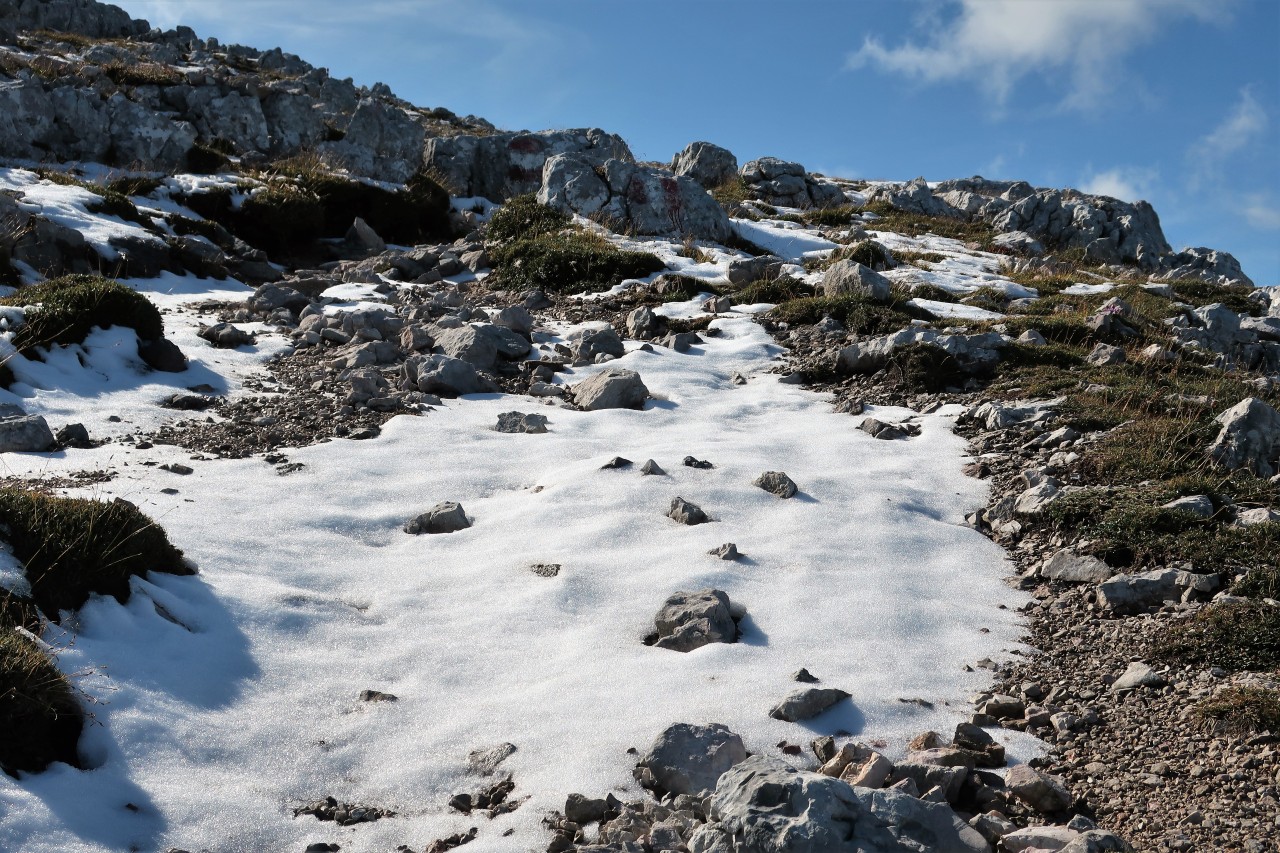
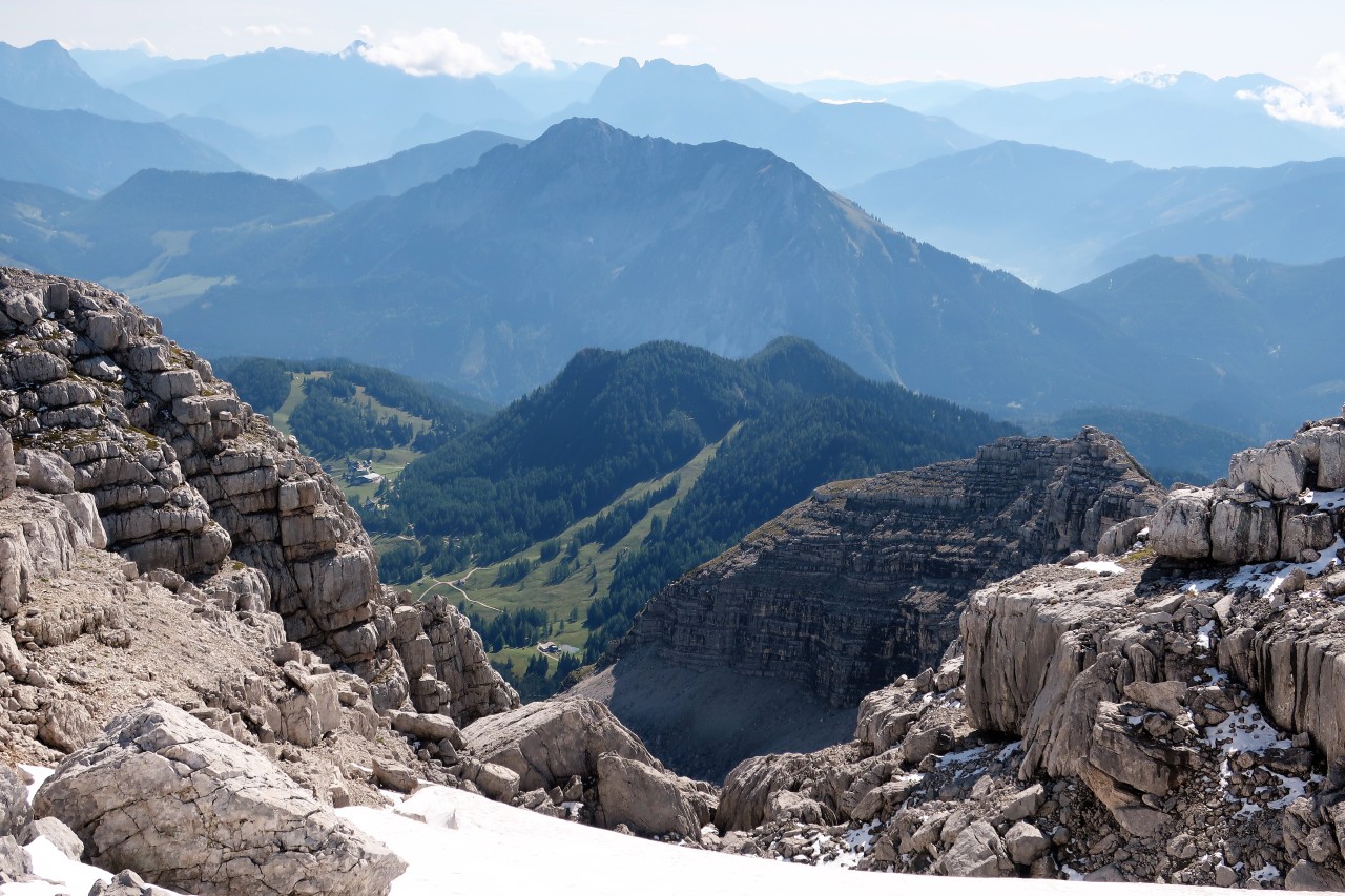
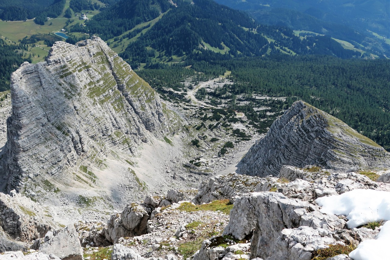
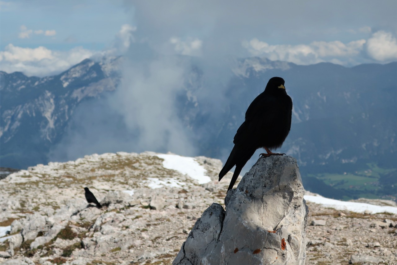
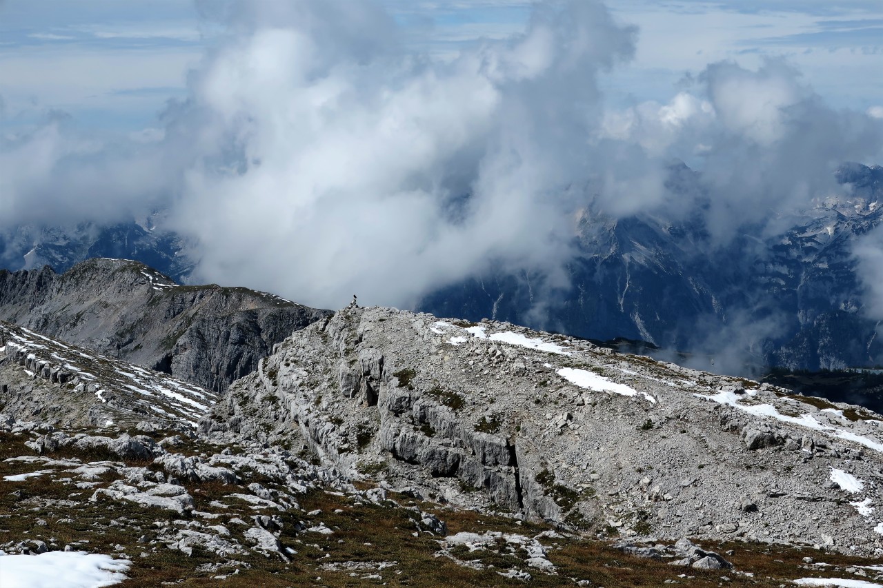
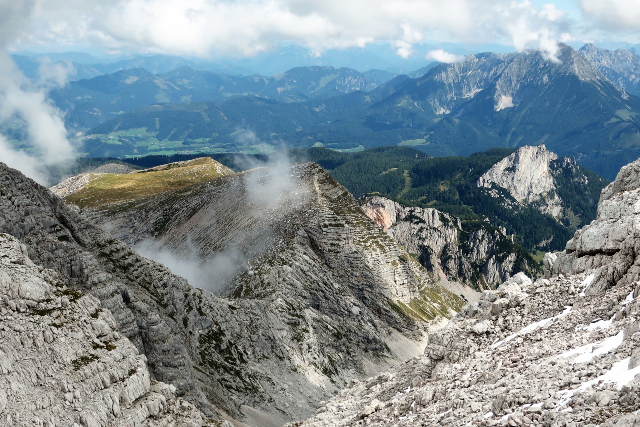
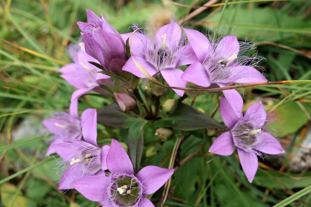
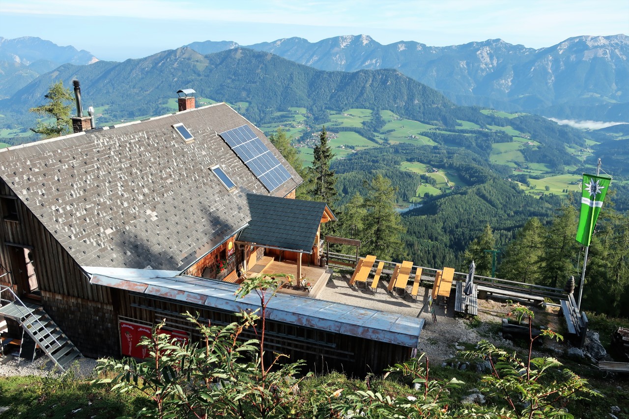
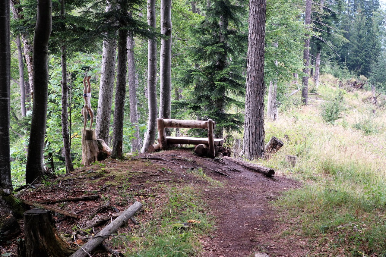
Parking lot Schafferteich Warscheneck ... ... over the Zellerhütte Right up Valley station of the material cable car to Zellerhütte Do not worry, everyone will be saved! One of the many "thank goodness" bankers that you meet in this country Who made himself a donkey - here's the way to salvation! Larch - uprooted from winter storm Kyrill 2007 9 o'clock at the Zellerhütte Warscheneck in the far distance The Lagelsberg was once a SOTA Summit ... Remains of the recent onset of winter (2100 m) final climb Warscheneck (2388 m) Fog falls in here quickly ... ... and has its own charms. Alpine planks - always hungry! Radio partner (partly S2S) from Bavaria to Vienna descent Lagelsberg (right front) Through larch forest ... ... down to the Zellerhütte


No comments:
Post a Comment