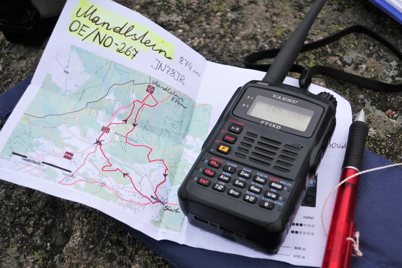
Date : 7.2.2020
Activity: Hike up the Mandlstein (874 m, JN78JR, SOTA / GMA); Descent: continuation of the Mandlsteinweg (Rundweg Nr.11)
Start and finish: Wultschau / parking lot at the village inn
Total duration: 5; 15 hours
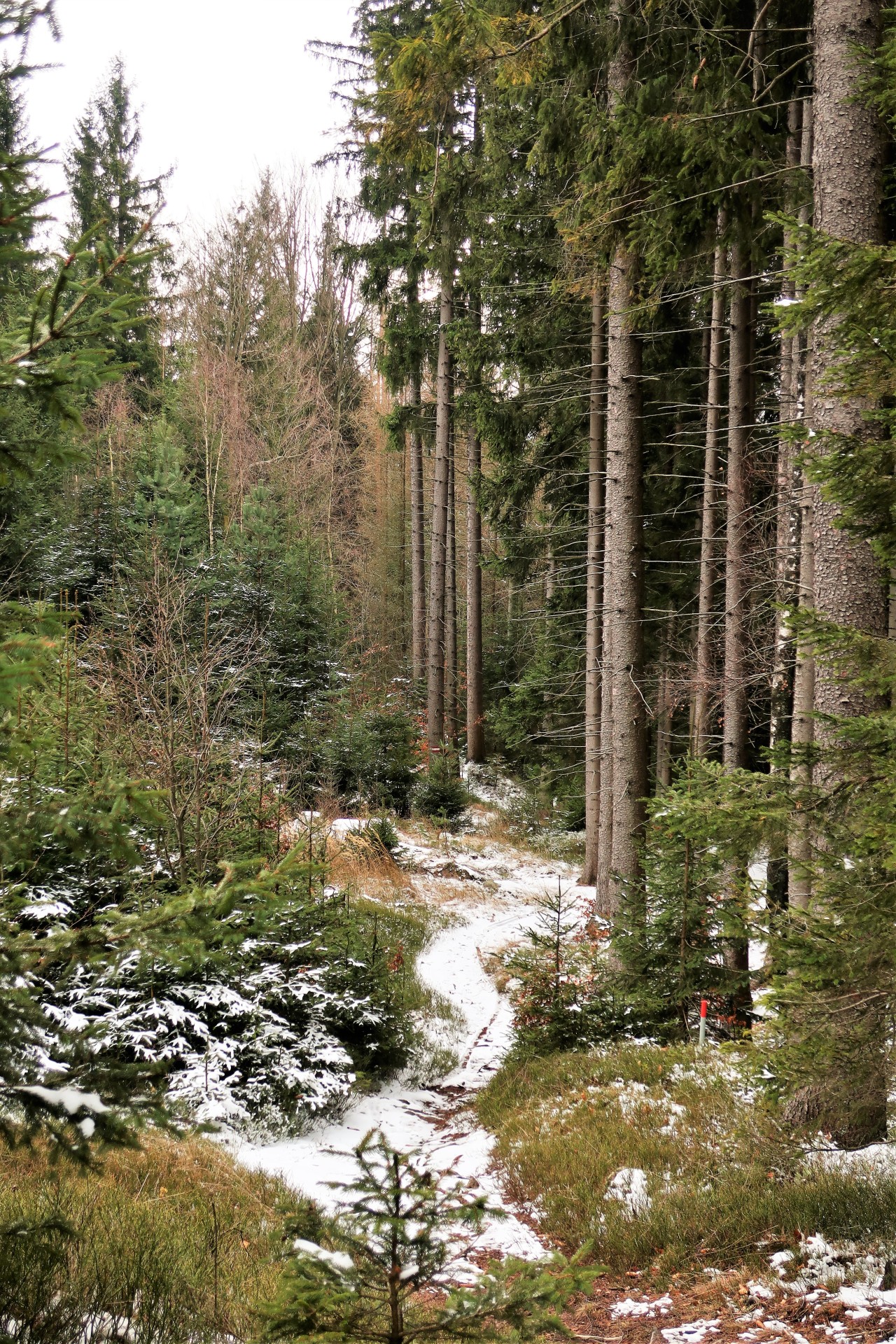
Path: very well signposted / marked side and forest roads, forest and meadow paths; short rocky climb to the summit
Weather: cloudy, around 0 ° C, little wind
Amateur radio: Yaesu FT1XDE with original spiral antenna; Max. 5 W FM at 2 m and 70 cm
QRV on the Mandlstein (874 m, JN78JR, SOTA / GMA): Although on the border to OK, I can't do a single QSO with a Czech ham. I am compensated by a S2S contact with Hannes, OE3JSU, on the Ötscher and 2 further QSOs at 145,500 MHz with Martin, OE3EMC or again under his AMRS club call OE3XRC. I reach Heinz, OE5HDN, via the Sternstein repeater.
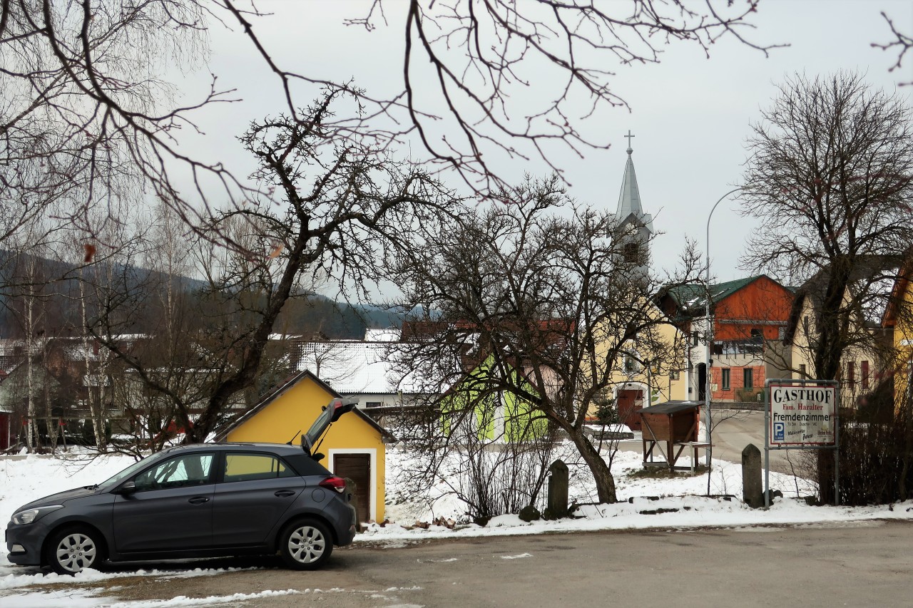
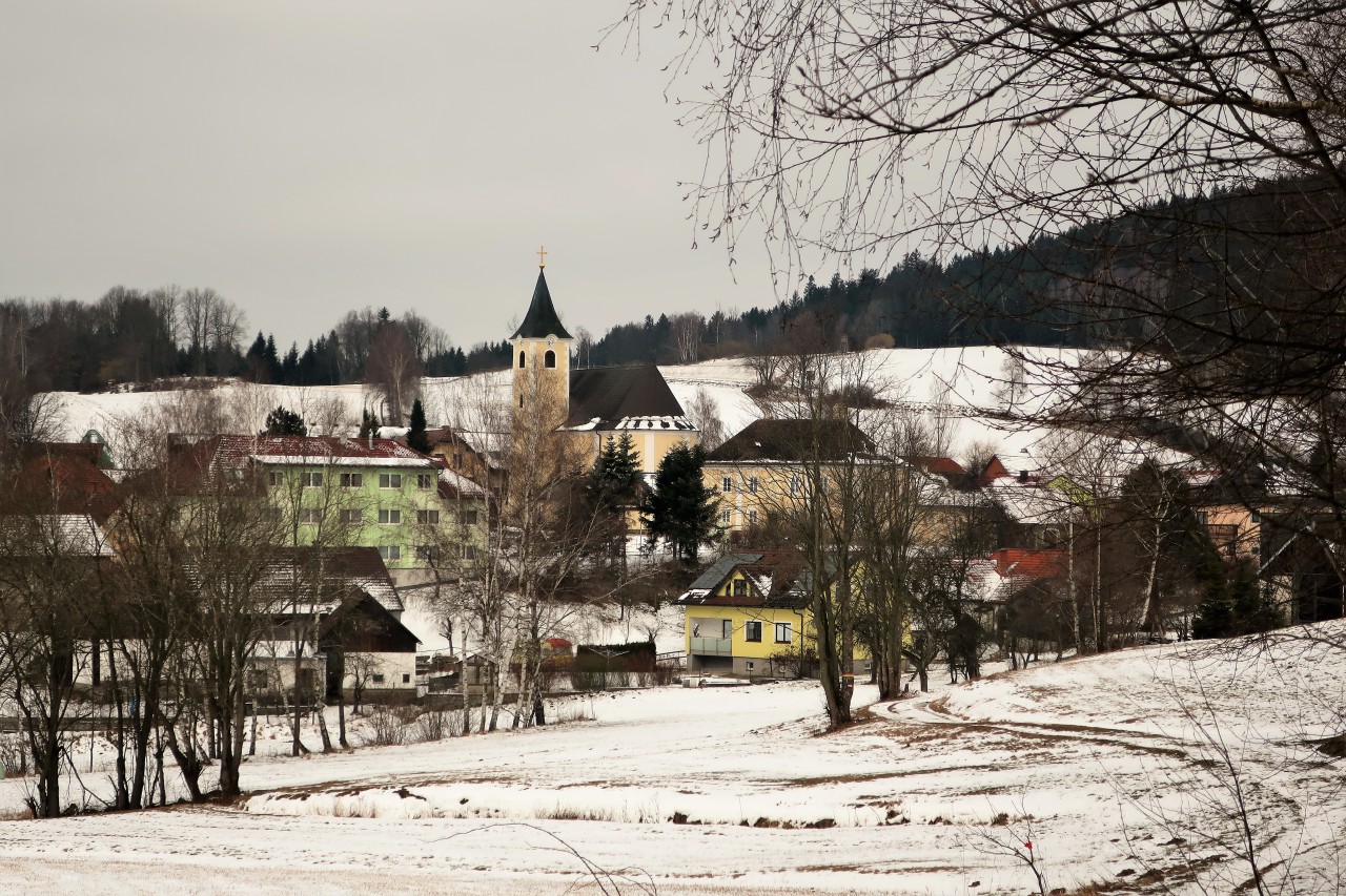
Wultschau: parking lot at the village inn
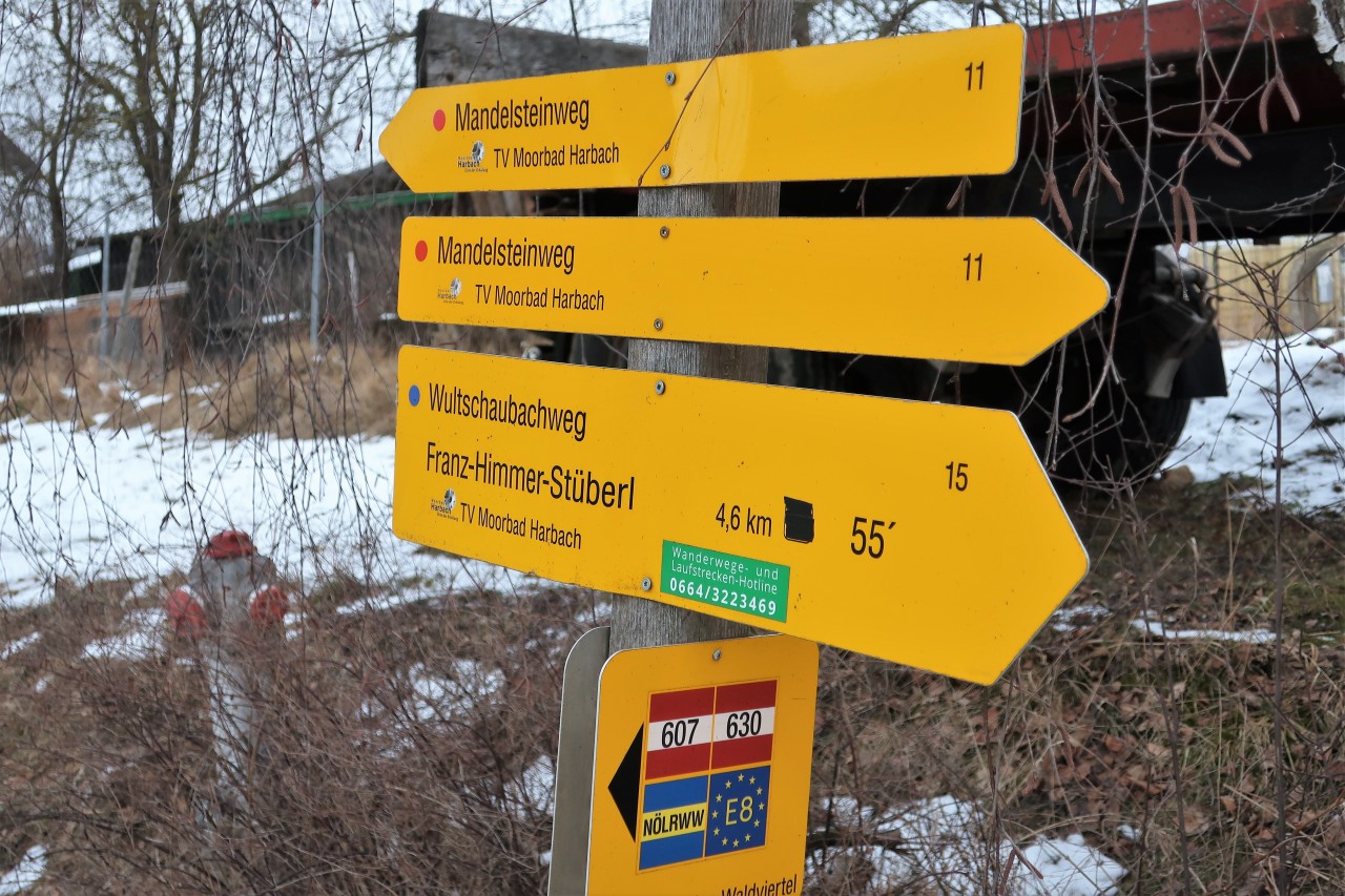
At the western end of the village, the first signpost to Mandlsteinweg (circular route No. 11)
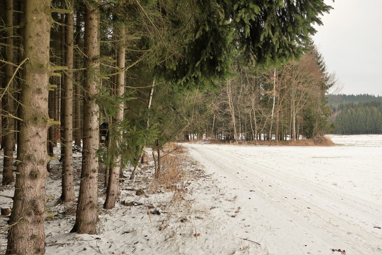
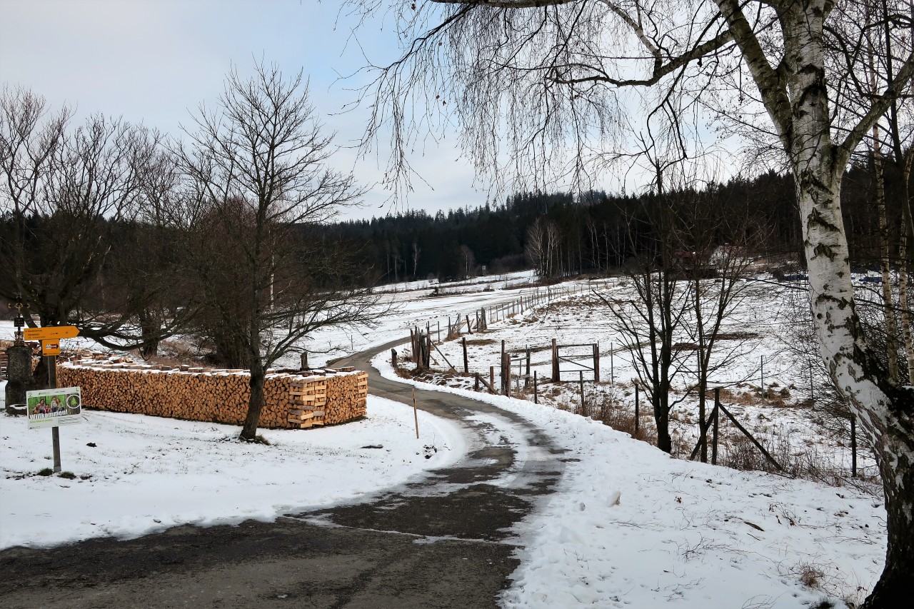
Over large areas ...
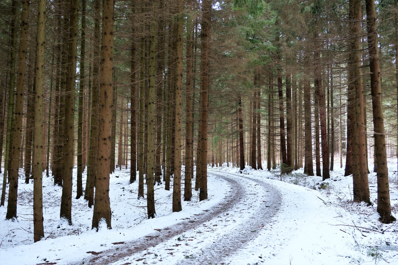
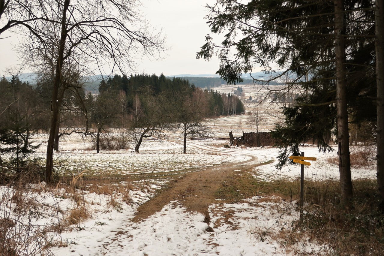
... into the forest
Moorbad Harbach: There are hardly any distractions that could disturb your recovery ...
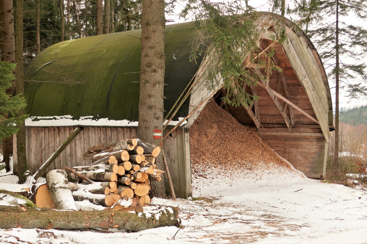
An old barn…
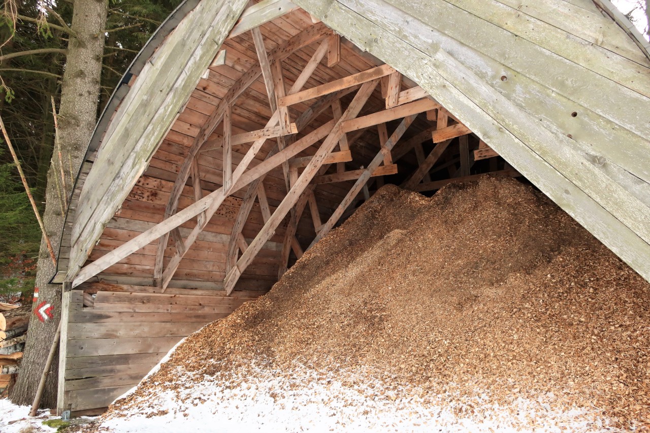
... with a remarkable roof construction
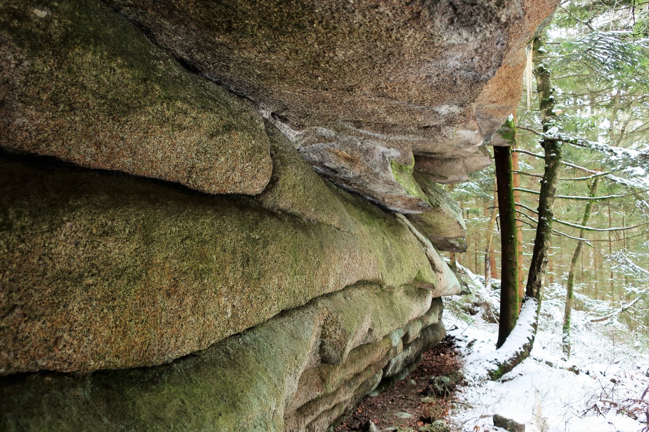
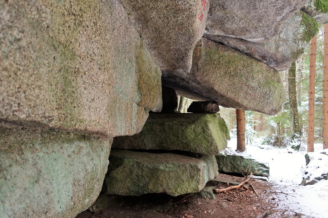
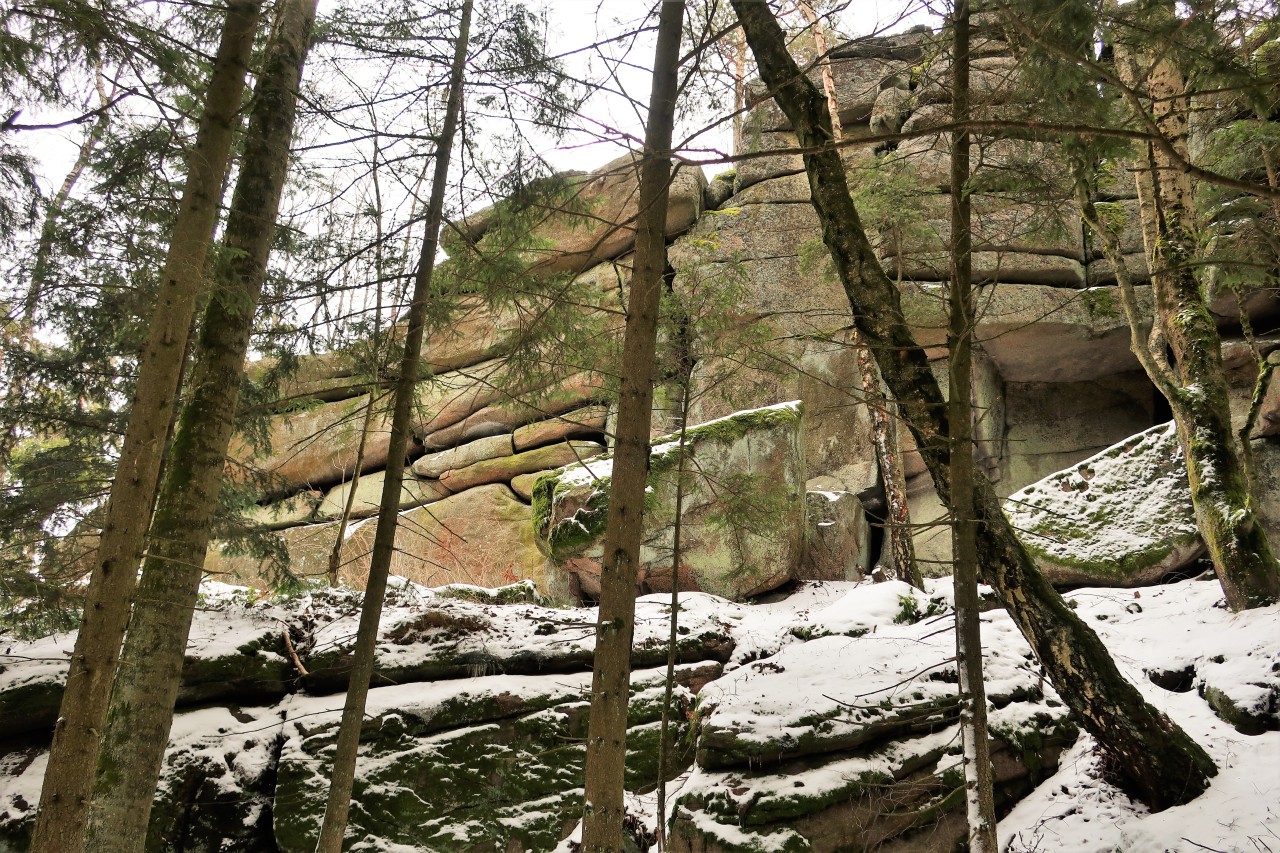
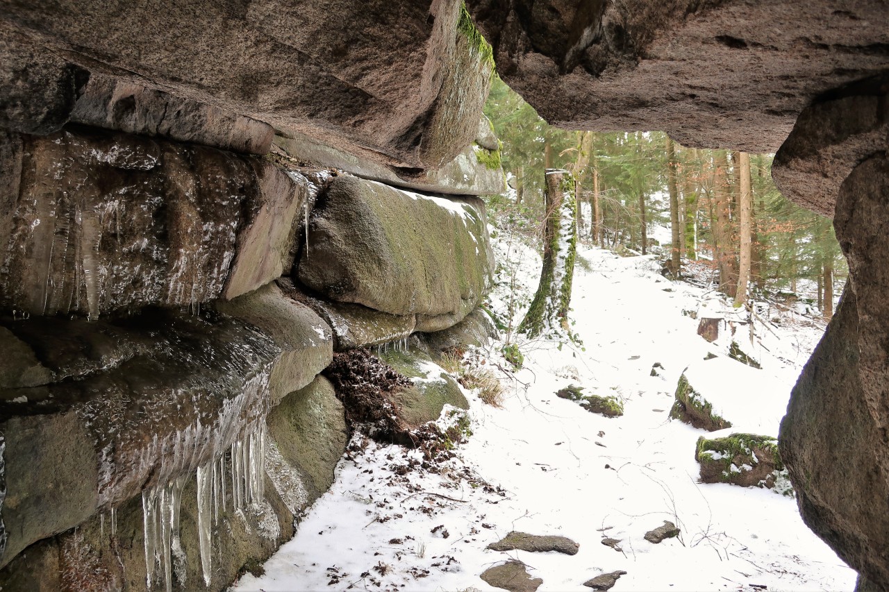
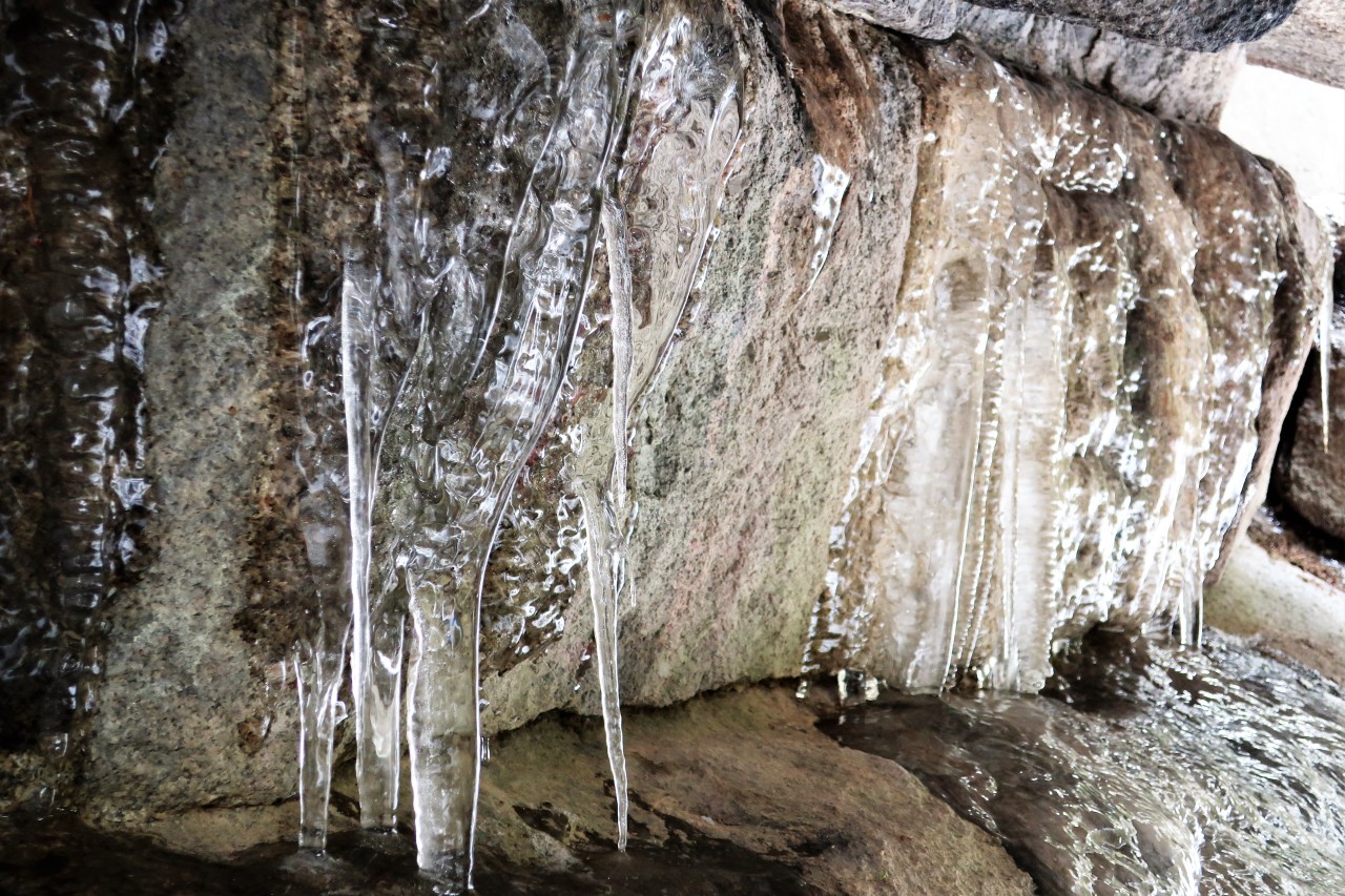
Short detour to the meat bank (rock formation)
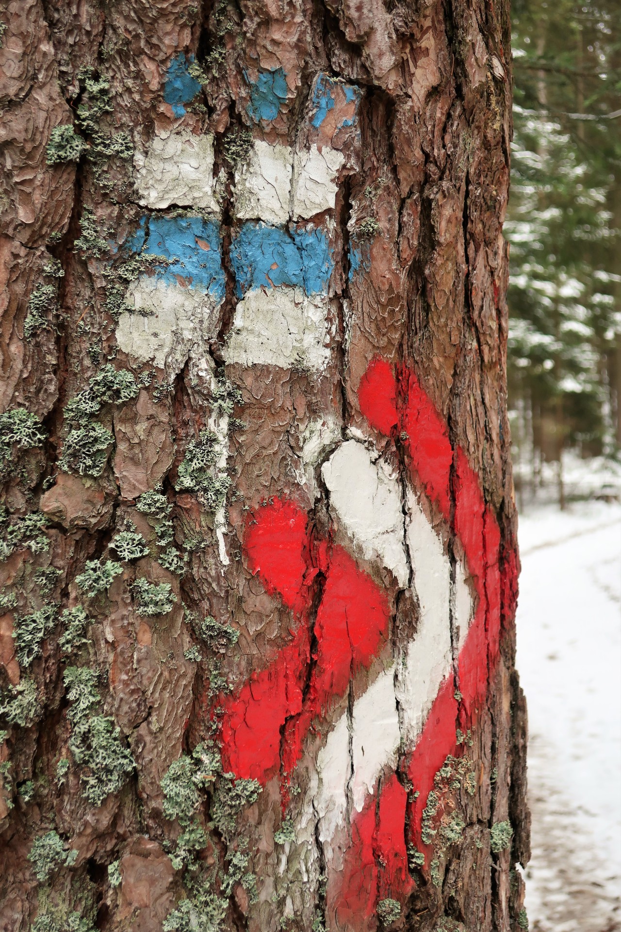
The characteristic blue and white Nordwaldkammweg marking has been running parallel to my red and white Mandlsteinweg marking for a long time.
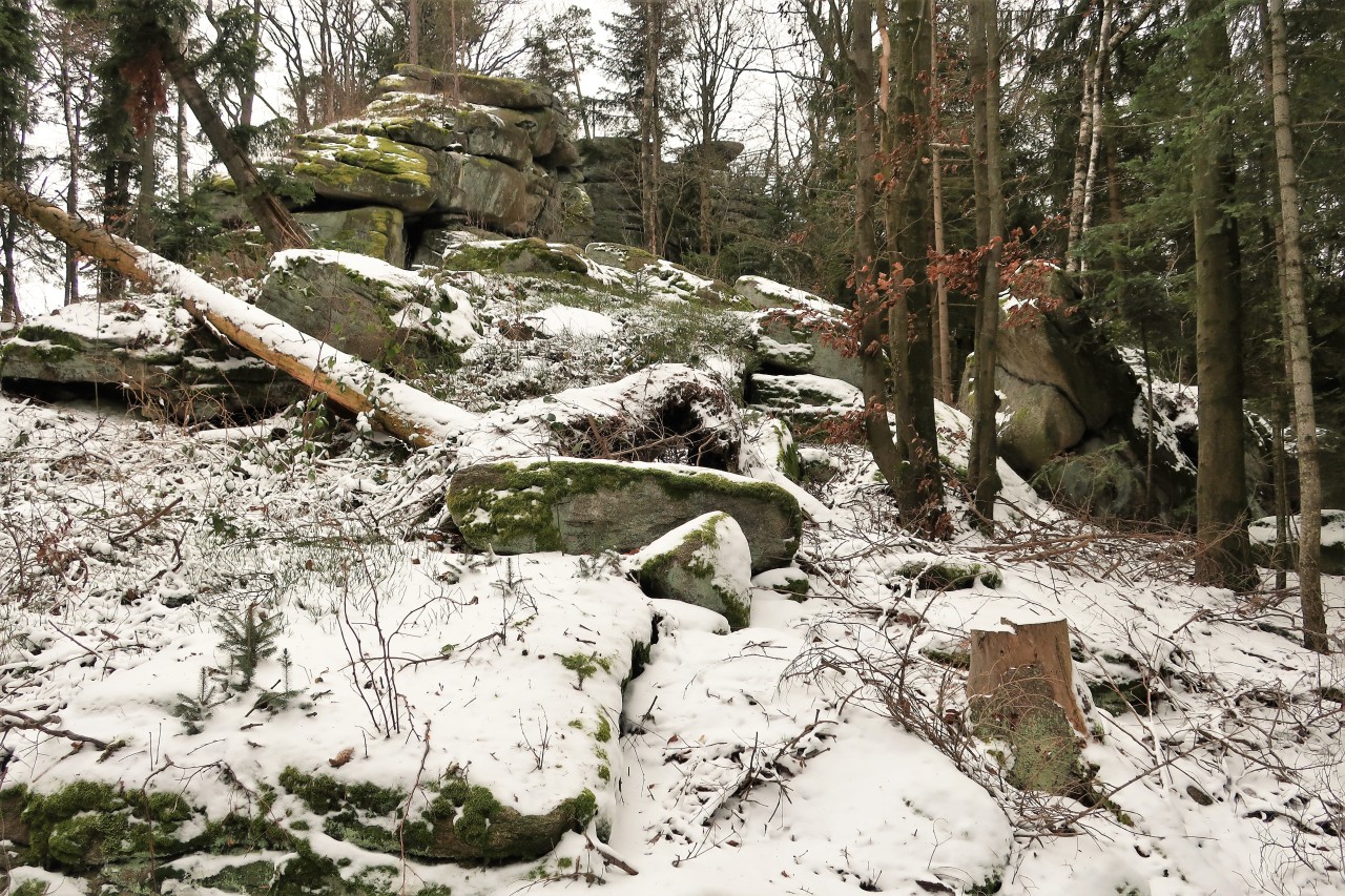
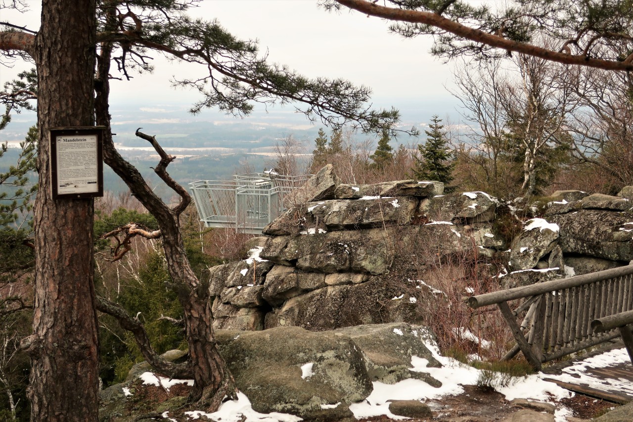
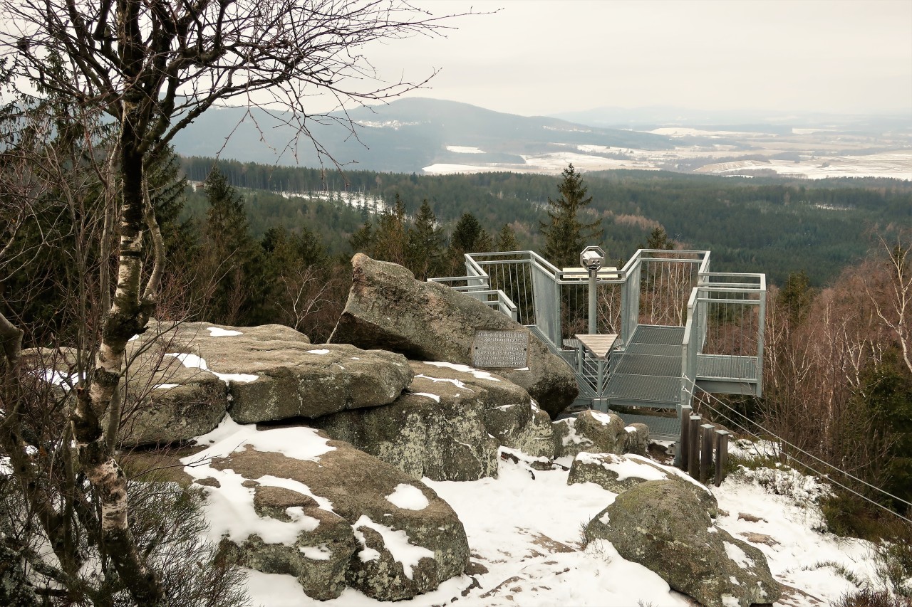
Summit construction of the Mandlstein
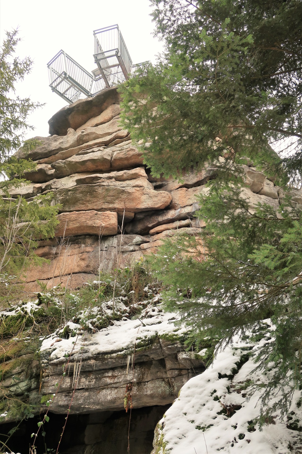
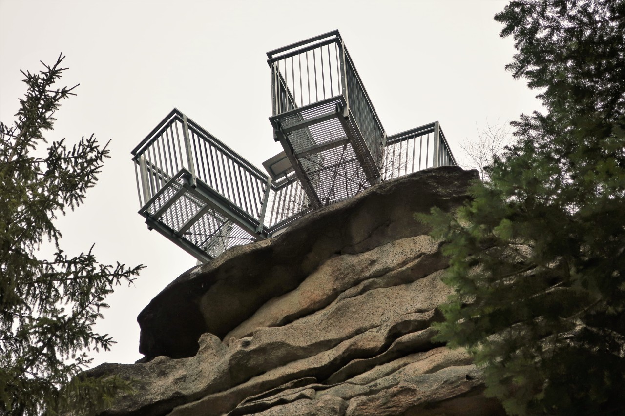
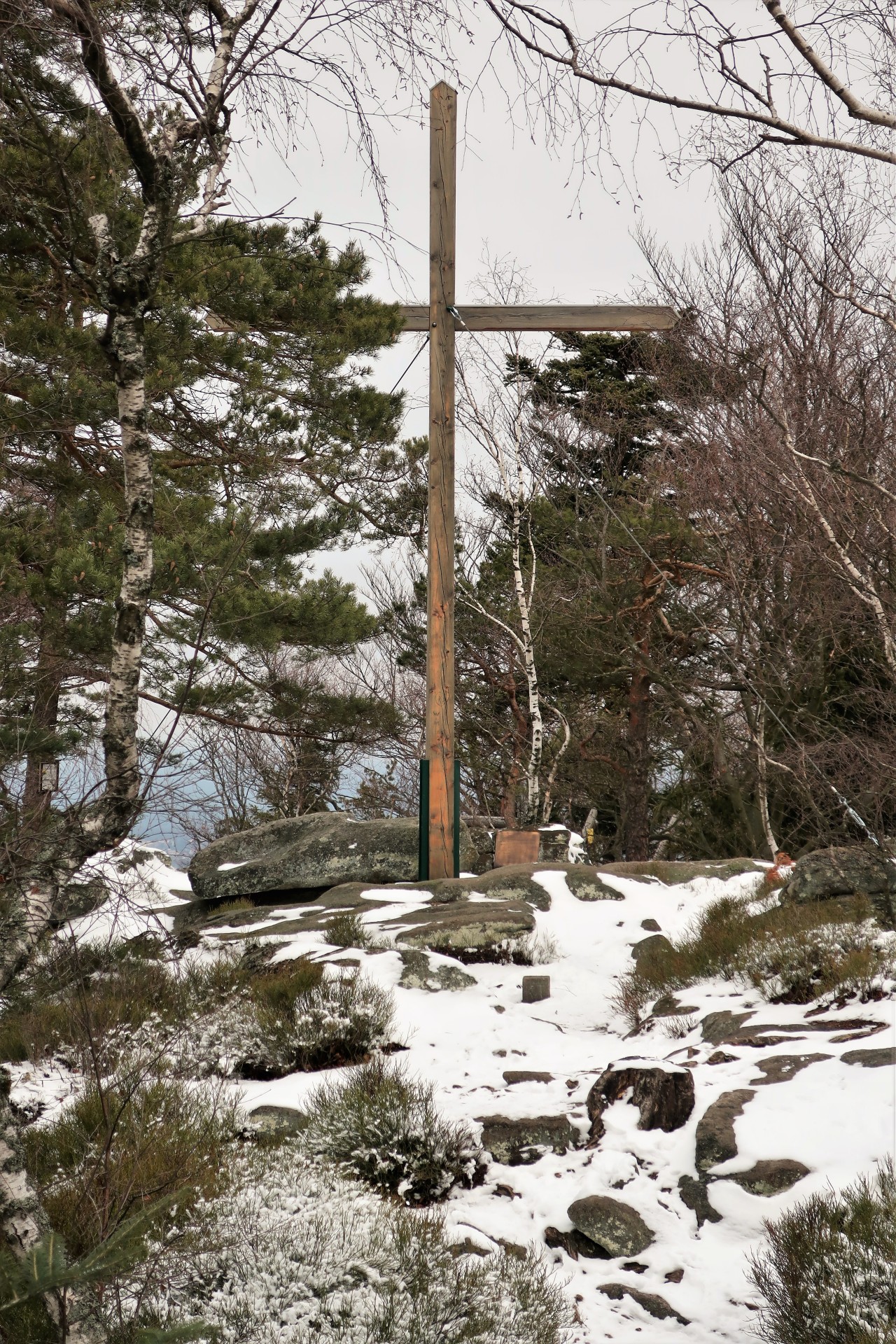
Mandlstein (874 m)
Look after OK
Unfortunately, there is no QSO with an OK station.
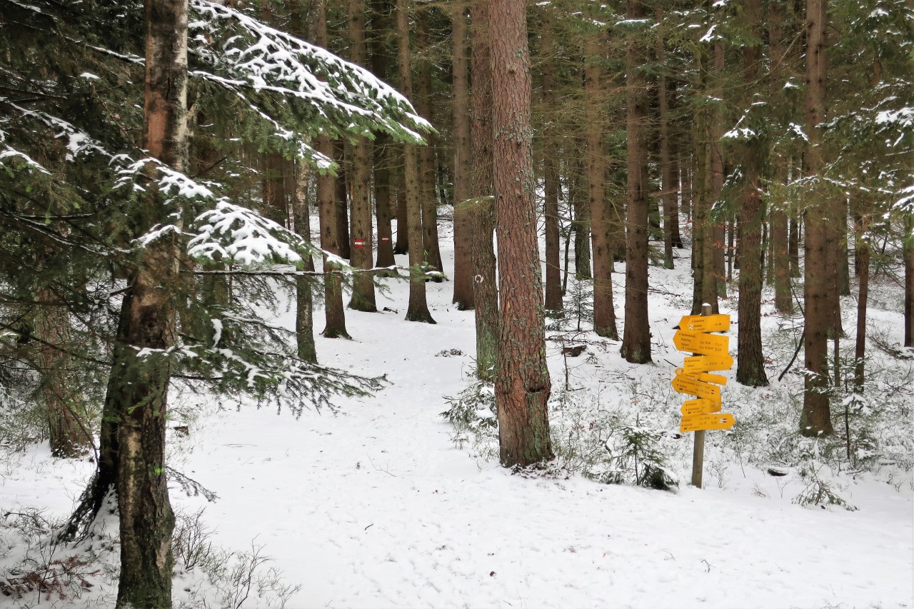
The descent (continuation of the circular route) is also really well signposted.
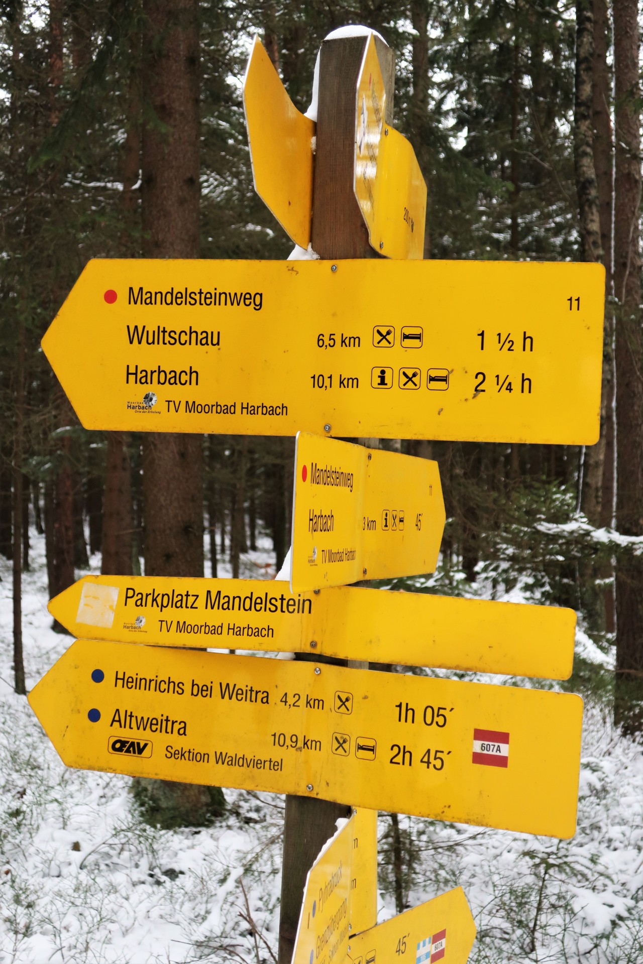
Another 1½ hours to Wultschau. (The ascent takes only 20 minutes from the Mandlstein car park.)
Not far anymore…
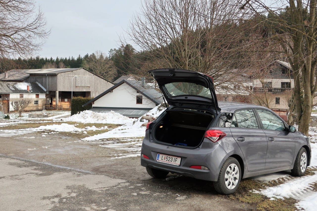
…to the car
No comments:
Post a Comment