Cloud shapes, altitude, density, and color can help you predict the weather when you are hiking and don’t have access to a weather forecast. This is particularly true in mountainous areas, above treeline, or areas prone to flash floods where getting struck by lightning, flash floods, falling due to high winds, or slipping on wet rock slabs can result in serious injury.
If you can’t commit all the cloud shapes below to memory, here’s simple a rule of thumb:
- High-altitude wispy clouds are an indication of good weather.
- Towering, dense, and dark clouds are an indication of rain, thunderstorms, and high wind. If the wind is blowing them toward you, take precautions.
Knowing just that can keep you high and dry and out of harm’s way.
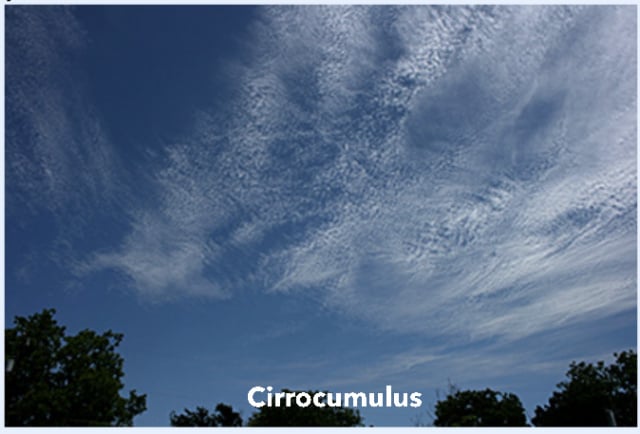
1. Cirrocumulus Clouds
Cirrocumulus Clouds look like ripples of water on the surface of a lake. They are a sign of good weather and often dissipate to a blue sky.
2. Altocumulus Clouds
Altocumulus Clouds are fair-weather clouds. They usually occur after a storm.

3. Cumulonimbus Clouds
Cumulonimbus Clouds are towering thunder clouds that bring hail, strong wind, thunder, and lightning. They have a characteristic flat, anvil-like top.

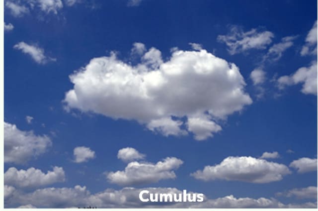
4. Cumulus Clouds
Cumulus Clouds are easily recognizable, large, white, fluffy clouds. They indicate fair weather when they are widely separated, but if they are large and many-headed, they are capable of bringing heavy showers.
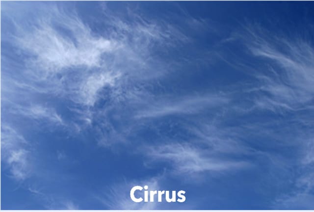
5. Cirrus Clouds
Cirrus Clouds are high altitude, wispy clouds, seen in fine weather.
6. Cirrostratus Clouds
Cirrostratus Clouds are made up of ice particles and form a halo around the sun. If a Cirrus-filled sky darkens and turns to Cirrostratus it is a sign of rain or snow, depending on temperature.

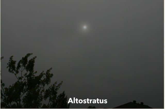
7. Altostratus Clouds
Altostratus Clouds form a greyish veil over the sun or moon. If they get darker and thicken, it is a sign that rain is on the way.
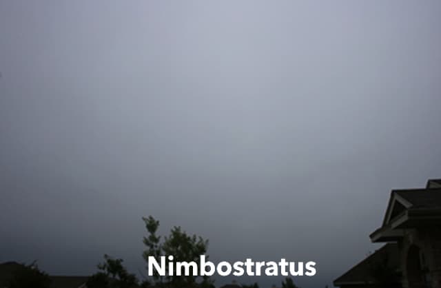
8. Nimbostratus Clouds
Nimbostratus Clouds form low blankets of cloud and indicate rain or snow, lasting for several hours.
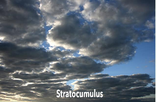
9. Stratocumulus Clouds
Stratocumulus Clouds can form a lumpy mass covering the entire sky and may produce light rain, but usually dissipate by the late afternoon or evening.
10. Stratus Clouds
Stratus Clouds are low clouds that form a fog-like layer and may produce drizzle. If they form thickly at night and cover the morning sky, they will usually burn off and produce a fine day.
See Also:
No comments:
Post a Comment