Dan NA6MG and I planned some hiking, SOTA and astronomy in the southern Sierras. We would do some peaks on our own and then meet at Horse Meadow camp ground off the Cherry Hill/Big Meadow Road and hike Cannel Benchmark, also known as Cannell Point.
On Thursday 6 September, left the house at 0230, driving through Mojave, refueling the Subaru at Pearsonville, then up through Kennedy Meadows and the Sherman Pass Road, turning right on the road 22S41 to Bonita Meadow and stopping at forest road 21S28 for the hike to Peak 9470. Previously activated by Dan a few years ago.

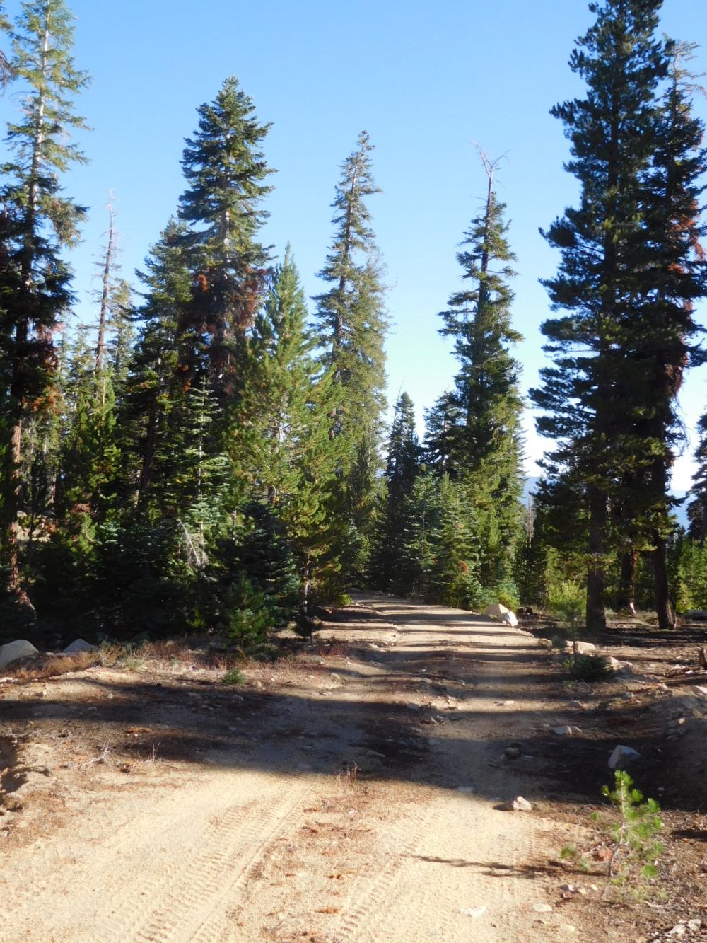
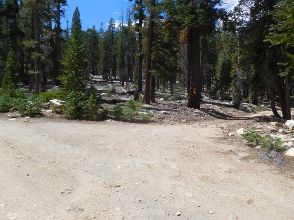
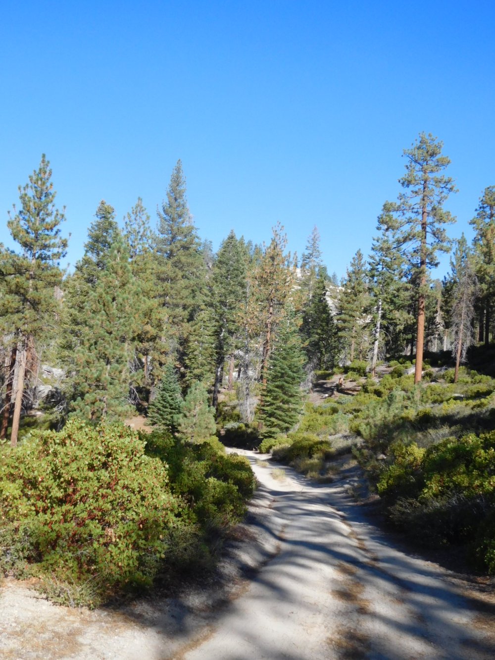
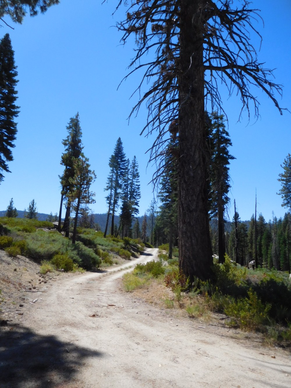
Hiking up the road
Passed a 4×4 road that went to the right, then passed another forest road that went to the right…my map had fallen out of my pocket! I should have taken this road, but instead continued on the “main” road until it ended and continued as a rough snowmobile trail. Moral: put the map in a pocket with a flap! So I headed up easy forested slopes toward the top.
Coming upon a rough old road not too far from the top. I followed this.
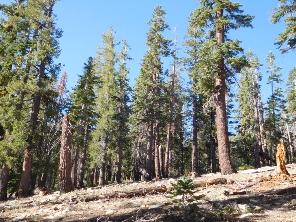
The top is rather flat
I spent half an hour wandering around looking for a good place to set up. View of Sherman Peak (W6 SS-258) to the west.
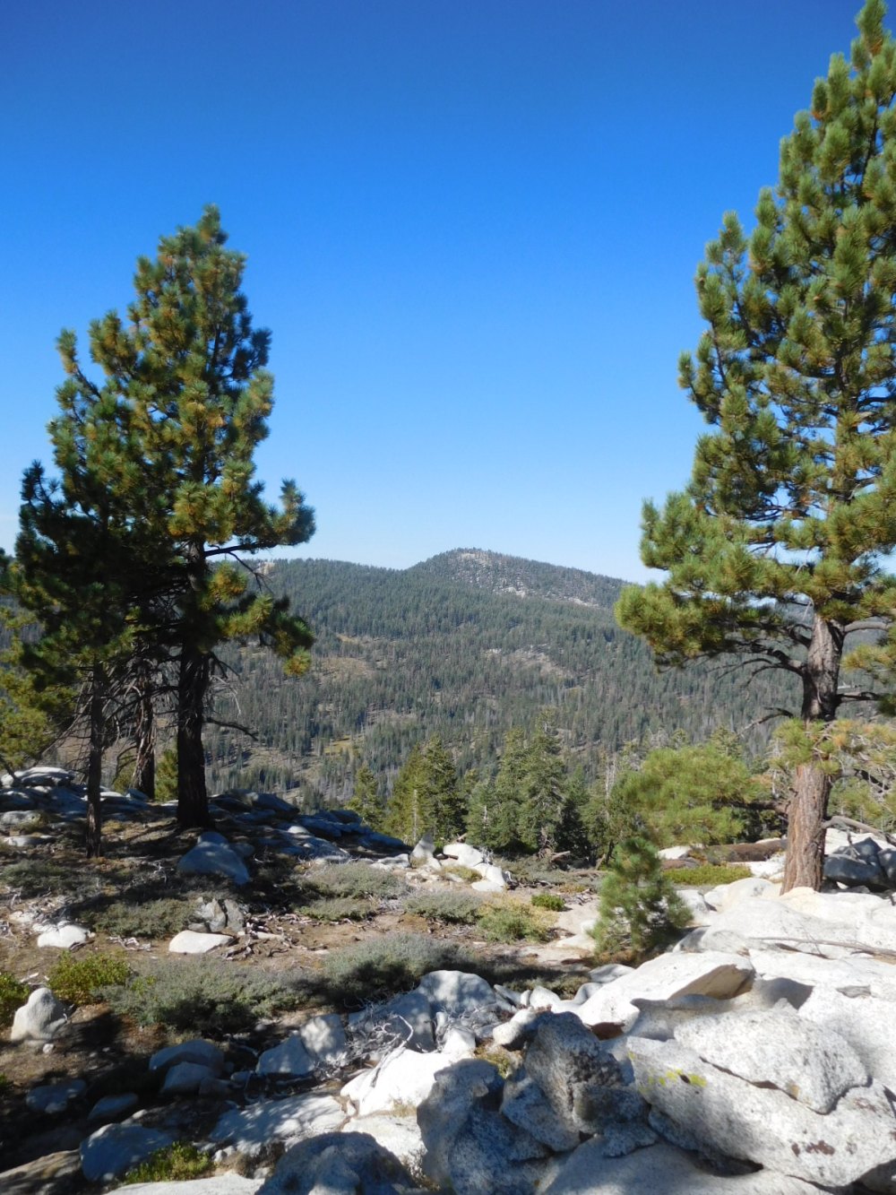
Finally returning to the log that I found in the first place. Bald Mountain (W6 SS-285) to left, Peak 9060 (W6 SS-298) to the right. I visited these two peaks last year.
| TIME | CALL | BAND | MODE | NOTES |
|---|---|---|---|---|
| 17:12z | K0RS | 14MHz | CW | |
| 17:14z | W0MNA | 14MHz | CW | |
| 17:15z | W0ERI | 14MHz | CW | |
| 17:16z | N2ESE | 14MHz | CW | |
| 17:17z | WA2USA | 14MHz | CW | |
| 17:23z | WW7D | 14MHz | CW | |
| 17:24z | K3TCU | 14MHz | CW | |
| 17:32z | NS7P | 10MHz | CW | |
| 17:33z | WB7ULD | 10MHz | CW | |
| 17:35z | K6HPX | 10MHz | CW | |
| 17:37z | K8TE | 10MHz | CW | |
| 17:46z | N7CW | 7MHz | CW | |
| 17:47z | W7RV | 7MHz | CW |

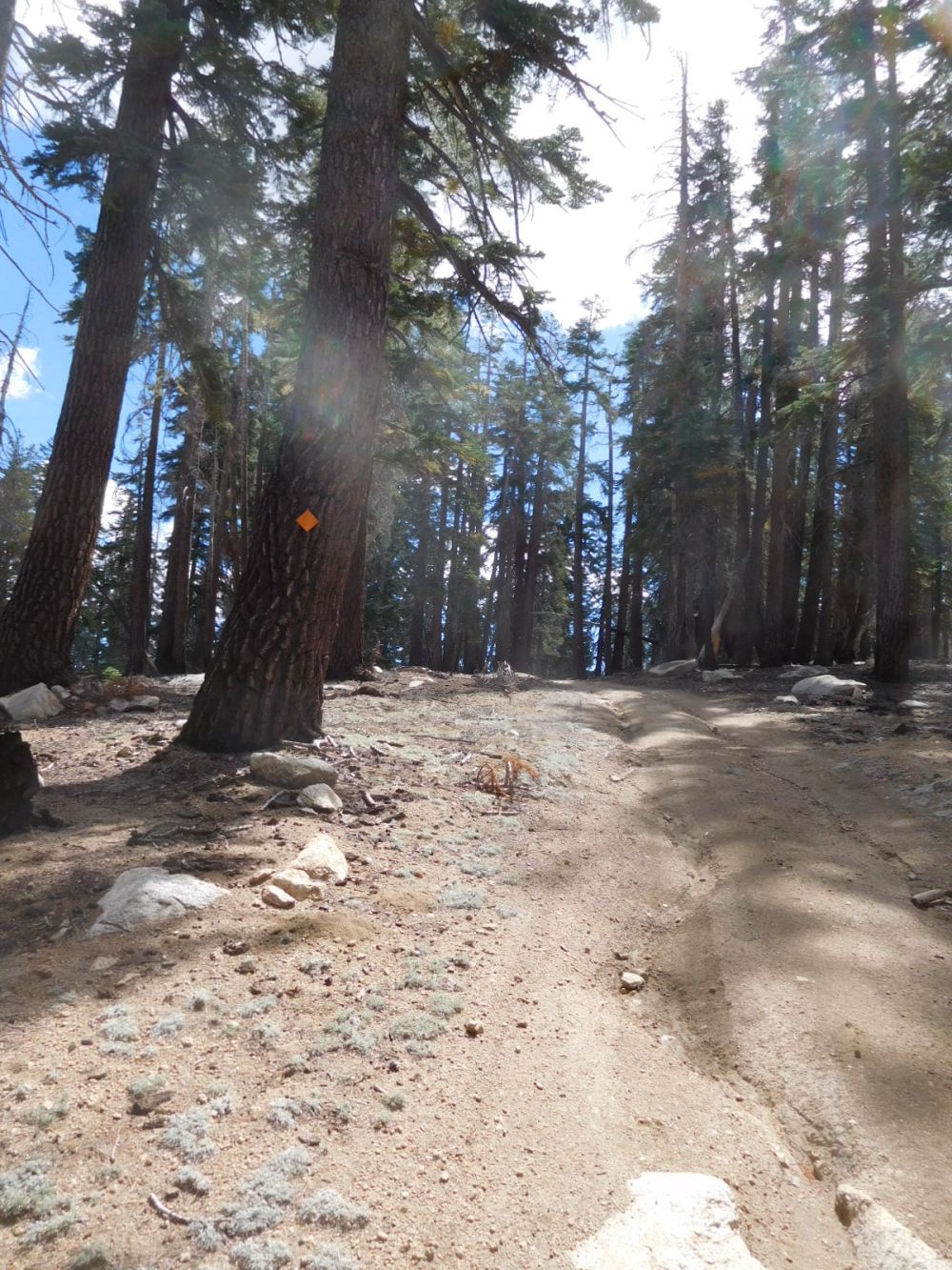
I went down to the old road, it faded out, then continued down gently north and west and came upon this road coming down from my left. I figured this was the one I had wanted all along (22S68A). I finally figured out the orange marker on the tree is a snowmobile trail marker.
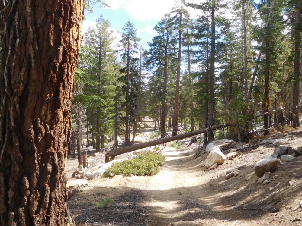
It went down and then west crossing the ridge, there was junction with a rough snowmobile trail (103) that went off to the left, then south and then east back towards my original “main” road.
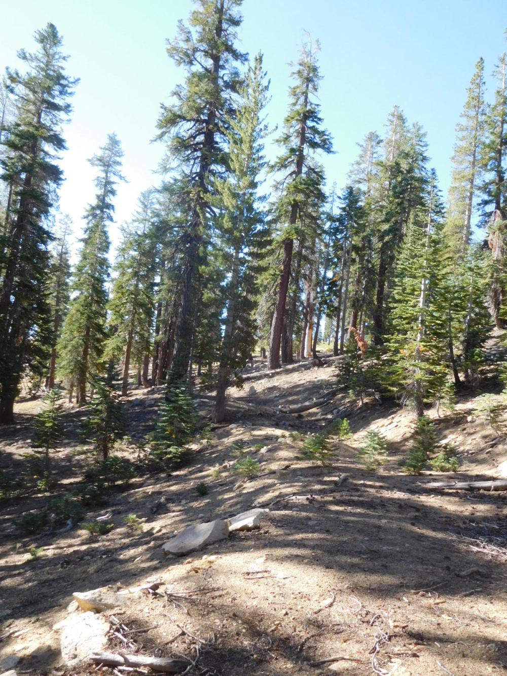
The main road is not far beyond that tree
And here on the main road, looking back a little, is the junction where I should have turned right on the way up. It is snowmobile trail 103, which later continues as 116 towards the top.
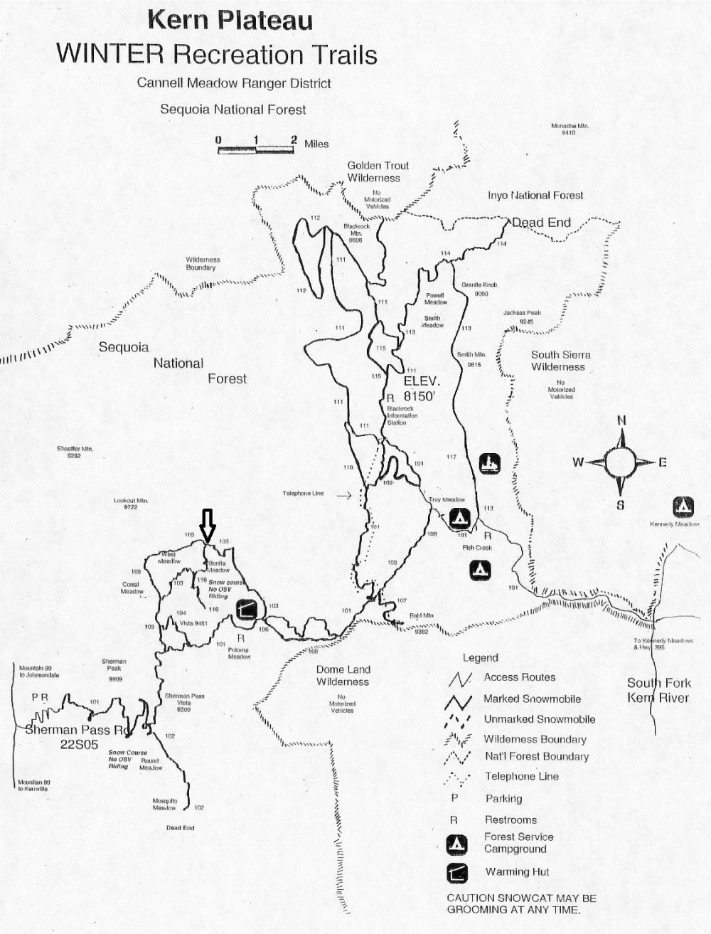
Here is the snowmobile map, I have marked the parking spot with an arrow. Also use the topo map at caltopo.com for reference. I have noticed that some of the forest roads marked on the USFS topo no longer exist!
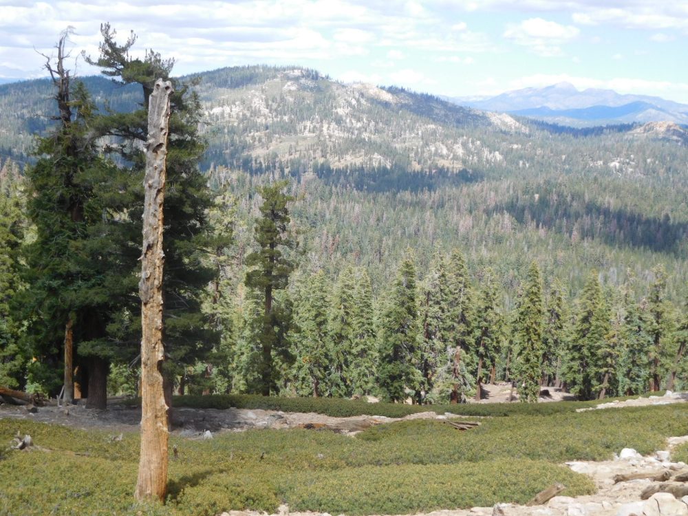
The back to the car. Drove to the end of the road to Danner Meadow to scope out Lookout Mountain…it looked like a steep hike up through the forest. Drove back to Sherman Pass Road, then up to the pass to the nice viewpoint there. Peak 9470 left of center.
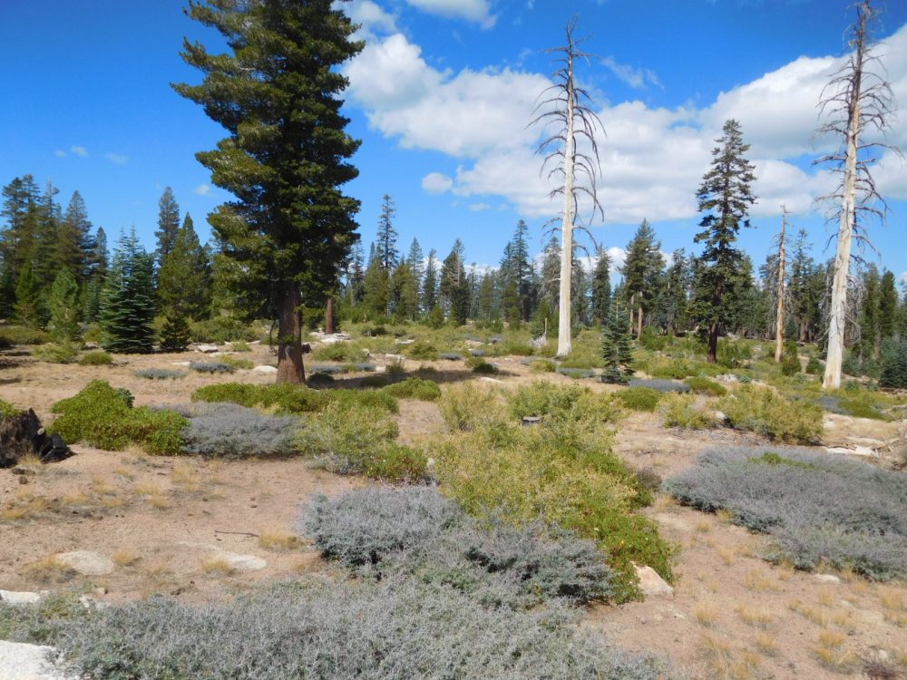
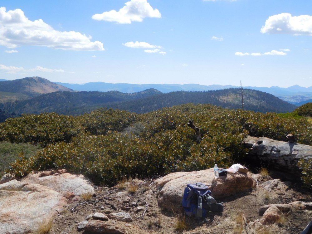
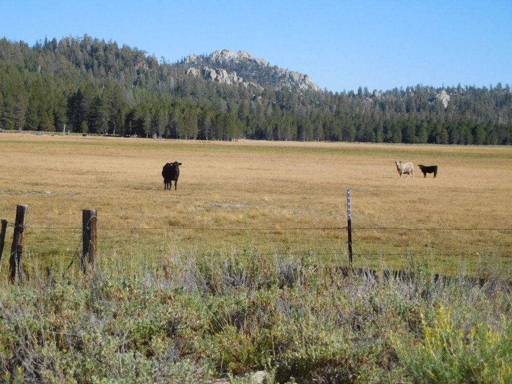
Then over the pass to Horse Meadow camp ground. Checked in with Wayne, the camp ground host we had met in previous years. Went for a drive to Big Meadow, lots of cows about. Taylor Dome (W6 SS-305) in the back ground. Dan and I hiked Taylor two years ago.
Later set up my little scope for astronomy after sunset. There were many tall trees at the camp. But the site 14 across from me had a fine view of Sagittarius. There are many interesting objects in Sagittarius, including Saturn (as of 2018). Looked at the Lagoon Nebula, one of my favorites. Also came across a rectangular nebula, which I nick-named the “Bandaid” Nebula (or sticking plaster for my English readers), because of its shape. Over the next couple of nights of looking at it and star charts I figured it might be the Omega Nebula M17. When I got home I looked on the web, it indeed was the Omega Nebula. Of course, through my scope it looked like a dim gray patch, not in color or bright like the photo, but you get the idea.
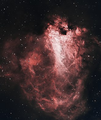
Wikipedia commons
For Friday 7 September I had planned to hike Peak 8180, W6 SS-619. I looked forward to it as straightforward…but I was wrong.
Hiked along forest road 23S41.
Eventually thinking I could make it from rock slab to rock slab to avoid the waist-high brush
Went up for a while but there was no good way through, so headed back and up along the road. To a saddle and a little beyond, still too much brush I did not want to break my way through.
So headed down, stopping in shade for lunch. The weather was hot and sunny, with high temperatures of 80F/25C during the day, and a not-too-cold 47F/9C at night.
Dan arrived at camp in early afternoon, after hiking Tobias Peak and a few other mountains. We set up our scopes later, we got fine views of Saturn through his scope, which had higher magnification than mine. He was also pleased with his equatorial mount.
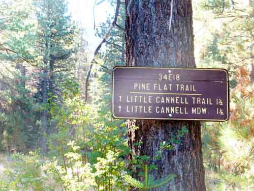
Cannell Point for Saturday 8 September. I forgot my camera in the car so the pictures are taken by Dan. We drove the good forest road 24S12 until the junction with 24S12B and 24S12C. Then drove the Subaru for about 100 yards on S12C, I stopped as it looked too brushy for me, so we hiked and after about 200 yards there was a downed tree across the “road” which would have even stopped Dan in his Toyota pickup. We hiked along the road, losing it at one point where there were several downed trees and debris. We went slightly left, but after a short time headed back right and picked up the road again. It became a trail:
This took us to the saddle, where we then headed up cross country and kept on the right side of the ridge. We came to a flatter place on the ridge and took a water break. Probably a few hundred feet below the top.
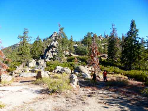
After some more foot slogging, came to the top which is crowned be three impressive rock crags. I set up on a ledge of one, Dan set his antenna mast on the very top point of the highest point at the benchmark.
| TIME | CALL | BAND | MODE | NOTES |
|---|---|---|---|---|
| 17:24z | AC7P | 14MHz | CW | |
| 17:25z | N4EX | 14MHz | CW | |
| 17:27z | N7LP | 14MHz | CW | |
| 17:28z | W0MNA | 14MHz | CW | |
| 17:29z | W0ERI | 14MHz | CW | |
| 17:30z | KG3W | 14MHz | CW | |
| 17:30z | NS7P | 14MHz | CW | |
| 17:31z | WB0KIU | 14MHz | CW | |
| 17:38z | WA2USA | 14MHz | CW |
I was hot, thirsty and tired, so did not operate long, and stopped when about three other hams came up on my frequency. Then went over to Dan’s and crag and climbed up. following a few rock ducks others had placed to mark the way. A bit of a scramble.
Suddenly:
Rattler: Brrrrrrrrrrrrrrrrrrrrr!
Me (jumping away) AAAAAAAAAAA!
A rattler was keeping cool in a rattler-size grotto beneath a rock! Thank goodness they can rattle to warn me off!
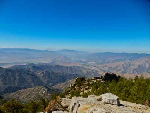
Reached this point. Steep drops a bit scray for sure! I did not go to the tip top 10 feet higher like Dan did, he said it was dangerous and it looked that way to me too! Dan put our names in the register; the last addition was March of this year.

Lake Isabella
Went down forested slopes, arriving a little below the saddle, then an easy walk along the trail and road to the car
Dan, NA6MG

Back at camp we relaxed and did a little astronomy later, Headed off the next morning at 0600.
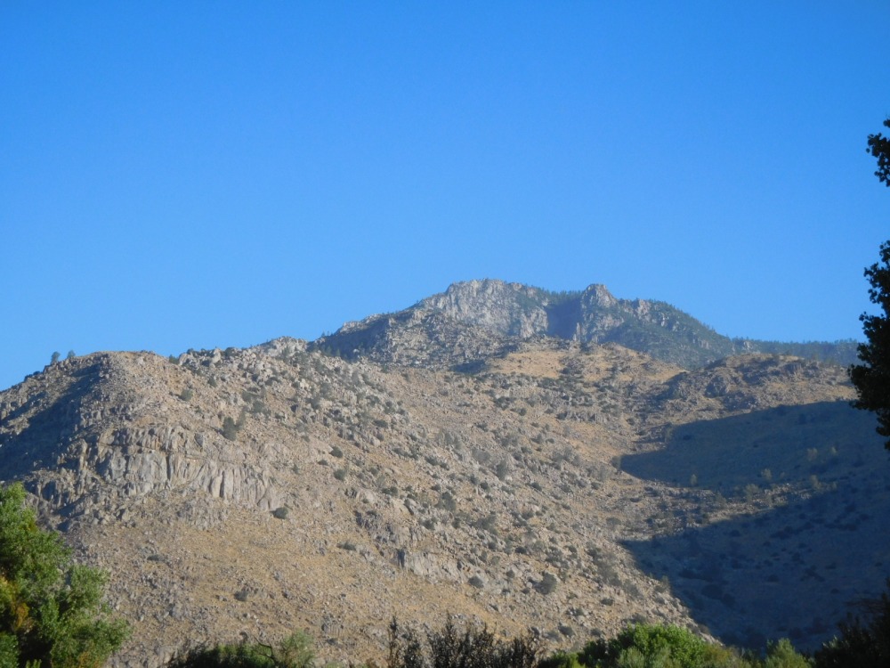
Cannel Benchmark/Cannell Point from the road home, south of the peak
We kept in contact via 2m FM. I stopped at Bloom Ranch of Acton and got a big box of peaches. A good trip!
73! Hal N6JZT
No comments:
Post a Comment