SOTA summit: Bridger Peak , W7Y/SW-007
Activation Date: July 30, 2017
Portable operation: Yes
Radio: Elecraft KX2 operating at 10 watts SSB and KX3 at 7 watts digital FT8
Antenna: LNR End Fed
Bands and Modes used: 20m SSB and FT8
Hike: ~7.5 miles and ~1,200ft ascent. (<–click left for GaiaPro track etc)
Solo operation: No, with Guy N7UN
Recommend: Yes
ATT Coverage: Spotty
Photos: Copyright Paul Gacek 2017
Related Activation Reports:
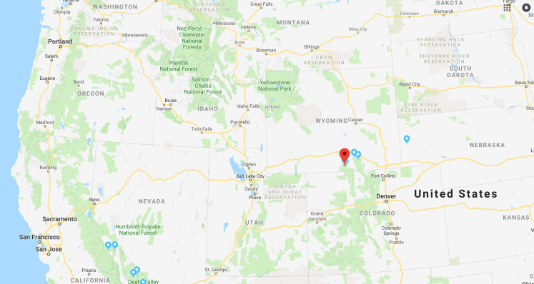
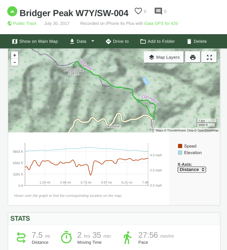
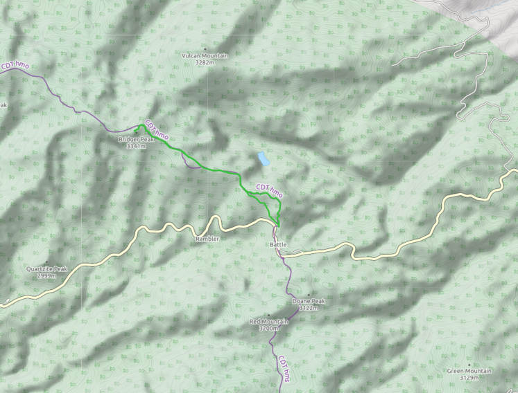
We are standing in Southern Wyoming. It’s beautiful and subtly different to much of The West I’ve seen over the last two years. The landscape rolls more gently, is punctuated with hills and mountains that have been nudged up into the sky versus a violent shove that created giants like the Rockies and Sierras. And so its no surprise that this area is so intertwined with one of the great stories of human migration, the settling of The West by half a million people on foot and in covered wagons. The Oregon Trail, the California Trail, the Mormon Trail and the list goes on. Driven by hope and facing intimating conditions many travelled the path beaten by group of fur trappers collectively known as Mountain Men.
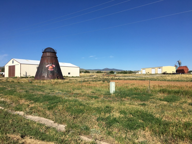
Here we are hiking up to Bridger Peak following the Continental Divide that was a landmark for our trail pioneers of yesteryear. So whats in a name? While I thought our peak’s name was possibly a corruption of Bridge or possibly that of an obscure prospector subsequent research compensated for my lack of an American education to reveal it’s named after Jim Bridger, possibly the most famous Mountain men of that group.
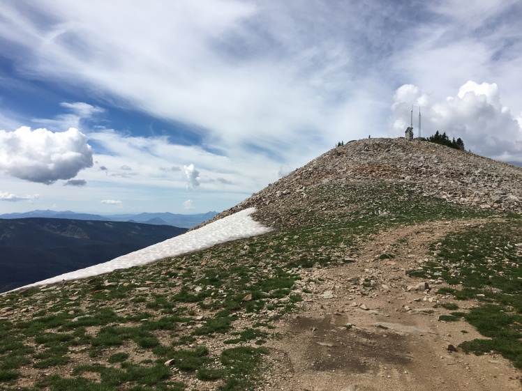
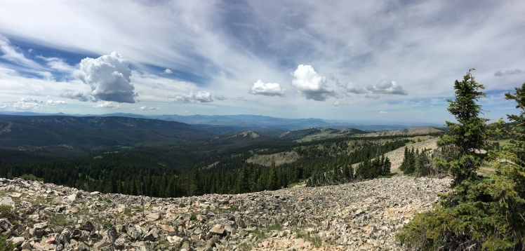
The pack is heavier than usual. Knowing its about 8 miles round trip I have a little extra water, the weather can easily change to thunderstorms dictating extra clothing particularly raingear but the real kicker is the Lenovo notebook, KX3 and heavy battery as today I’m going to try to activate the peak using the new very vogue digital mode called FT8. All in all I get 7 or so FT8 activations under my belt on this Wyoming and Colorado trip giving me a good sense of its viability for SOTA.
By far the biggest challenge I’ve had is syncing the PC clock to an accurate time source. I soon realize I should have purchased and brought a USB attached external GPS dongle but for better or worst on this trip I’m relying on my phone as a hotspot to allow my Lenovo notebook to sync with an internet clock source. Sadly and I suppose unsurprisingly, the cell signal on Bridger is really flakey and it’s a frustrating exercise to sync. The pressure is on as FT8 is up long after my SSB contacts and directly after Guy has wrapped up his CW contacts. FT8 stands between us and something; lunch, the next activation, a beer….the pressure is on.
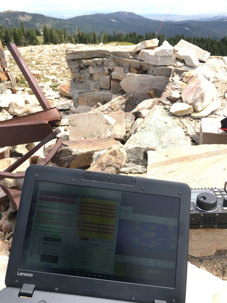
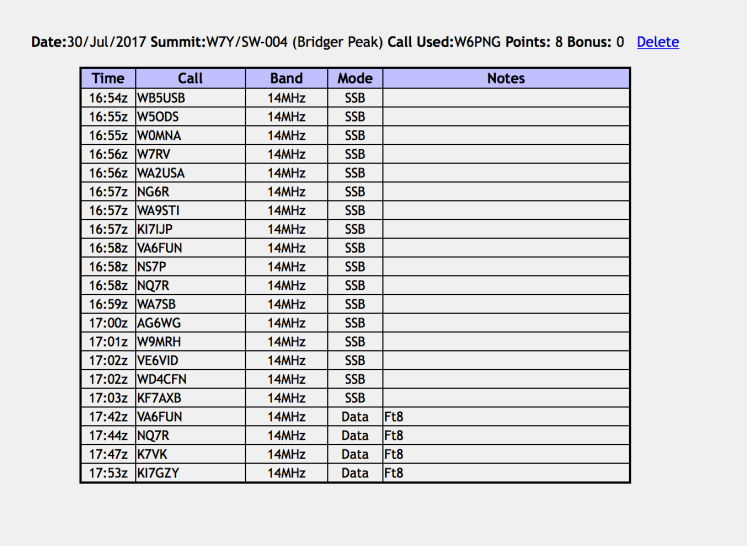
It takes 15 minutes to nab what I consider the minimum of 4 FT8 contacts and unlike SSB which took me 2 minutes to do the same it somewhat highlights why I’m coming to the realization that as setup, FT8 is more of a hassle than its worth considering extra trail weight, effort to achieve an accurate time sync through to sitting awkwardly to maximize readily of a cheap PC screen!
No comments:
Post a Comment