Date : 10.12.2019
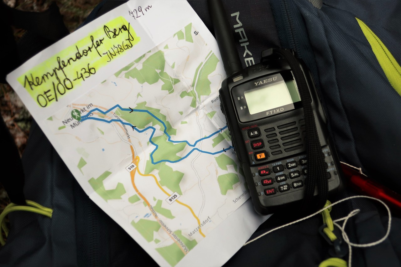
Activity: Hike to Kempfendorfer Berg (729 m, JN78GJ, SOTA / GMA); Circular route N 2
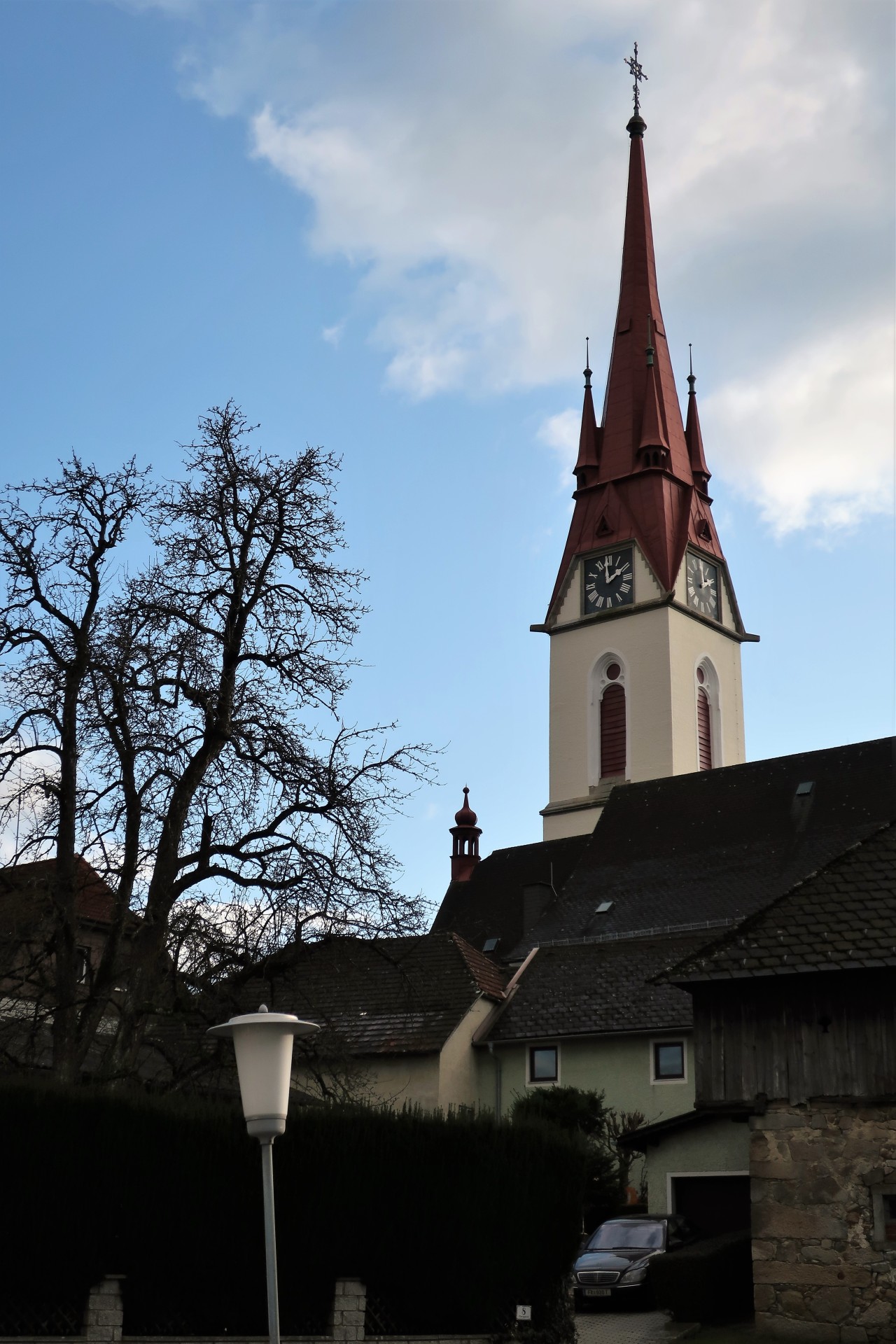
Start and finish: Neumarkt im Mühlkreis / parking behind the church
Total duration: 5 hours
Trail: in parts insufficient marked / marked side roads and forest roads as well as forest and meadow paths
Weather: clouds and sun, slight plus degrees; fresh wind in exposed areas
Amateur Radio: Yaesu FT1XDE with original helical antenna; Max. 5 W FM on 2 m and 70 cm
QRV on the Kempfendorfer mountain (729 m, JN78GJ, SOTA / GMA: After a QSO on 145.500 MHz with Gerold, OE5GEL, I meet Christoph, OE5CSP and Heinz, OE5HDN, on the Hunerkogel-Repeater, Heinz I then work directly on 145.500 MHz, Joe, OE5JJL, announces itself via the Damberg repeater and finally Franz, OE5FSL, gets points for a QSO on a 2 m simplex frequency.
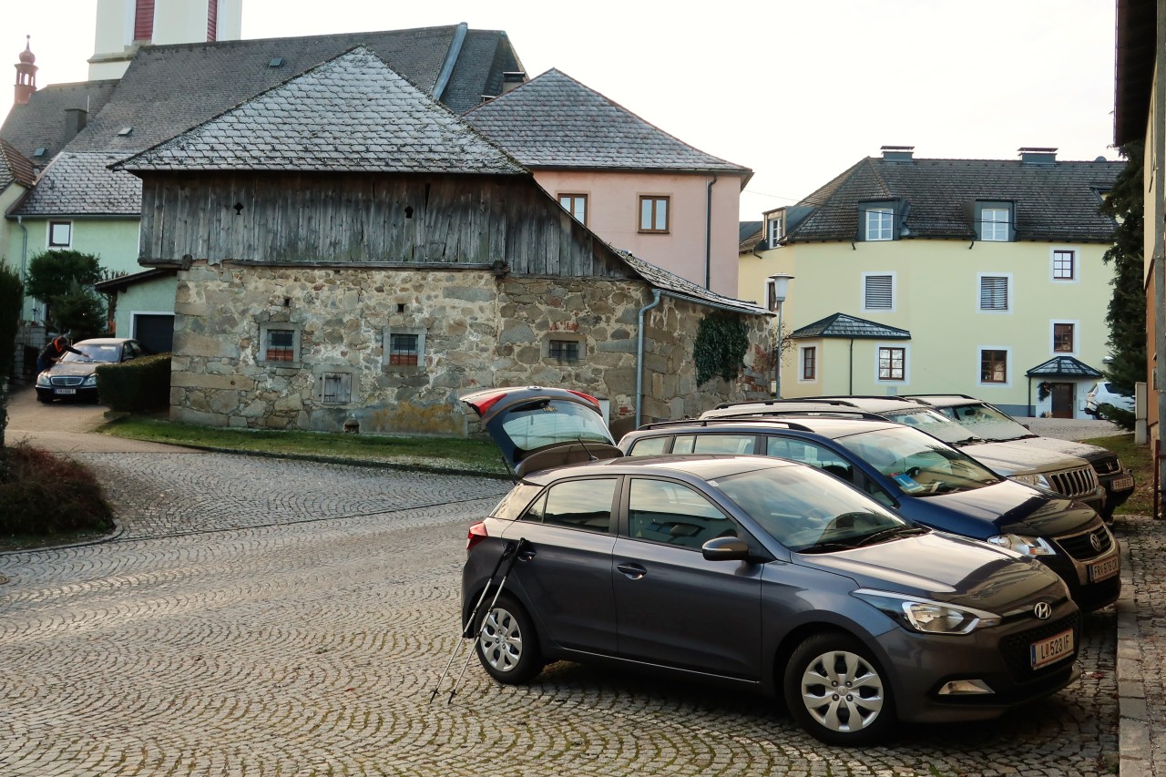
Neumarkt im Mühlkreis: Parking behind the church
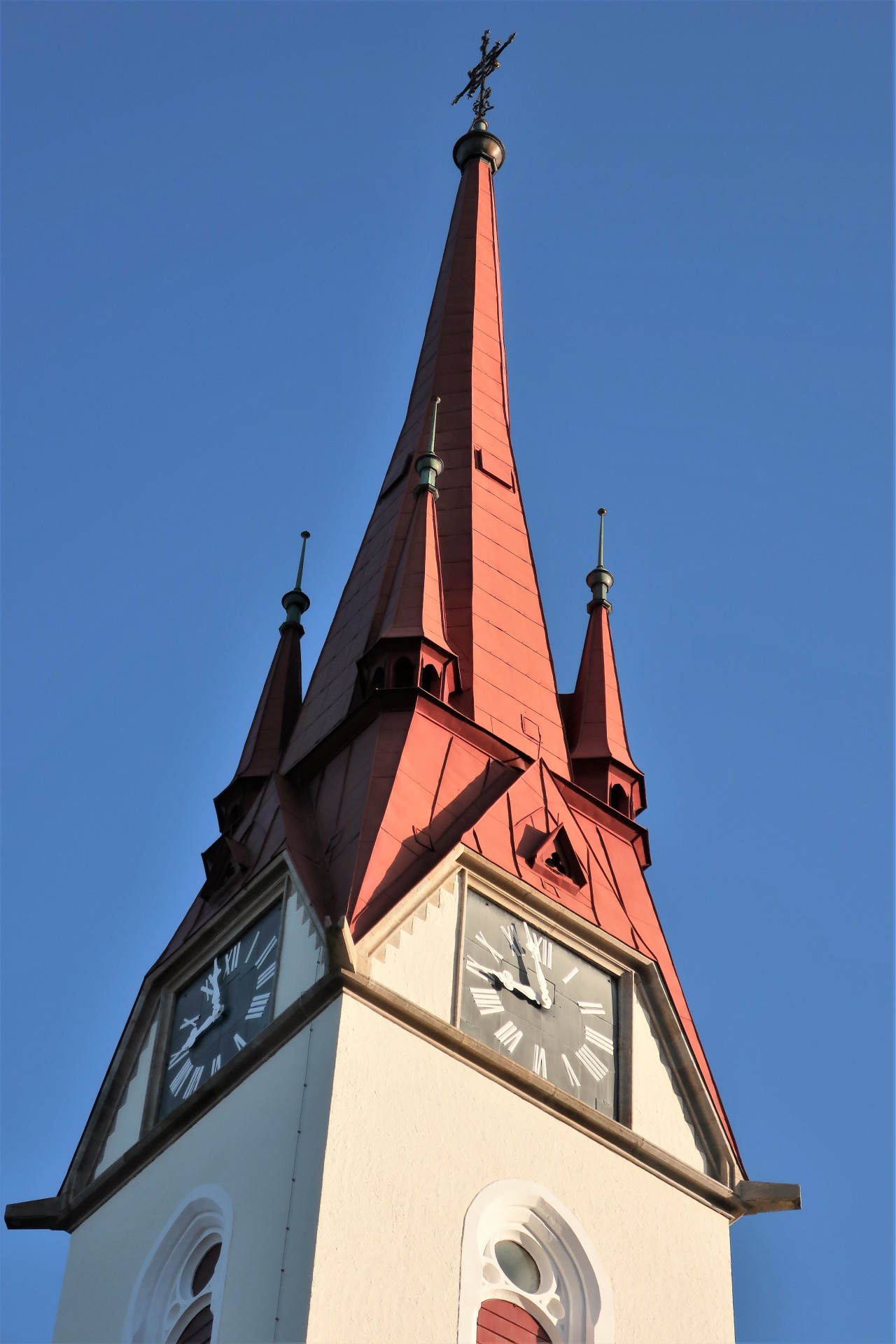
A bright blue sky as I leave at 9 o'clock
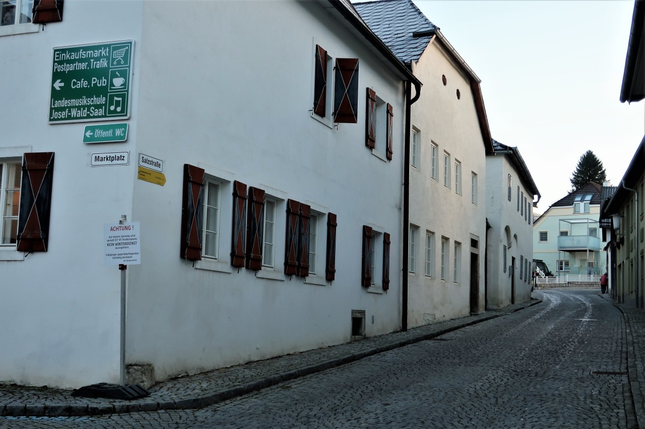
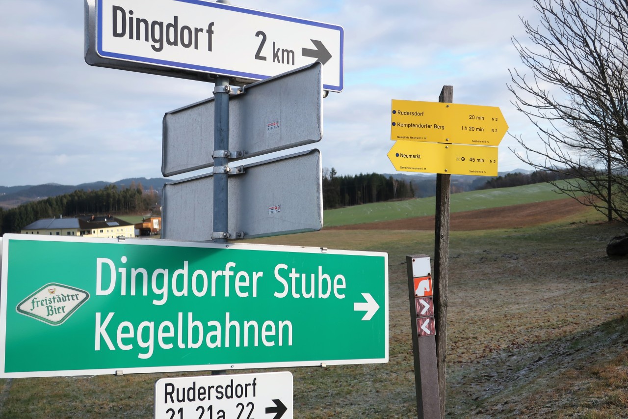
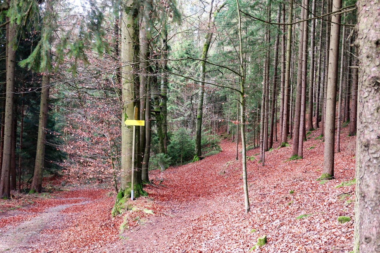
In the salt road high above the first yellow signpost to the Kempfendorfer mountain
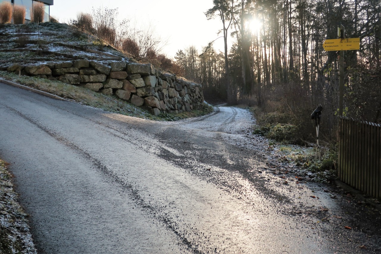
Unfortunately, he remains the only one for a long time. I go right here ...
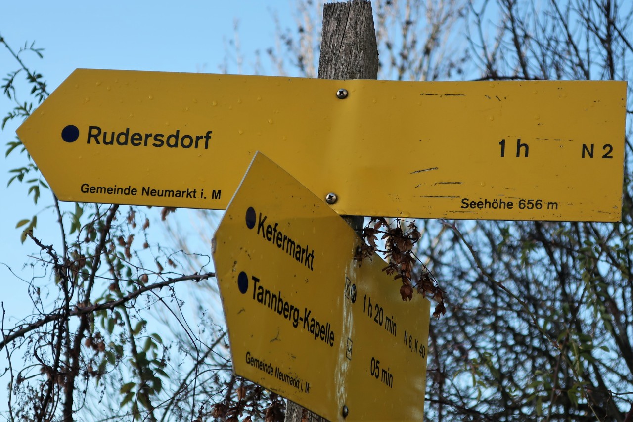
... and follow until further notice the sometimes hidden signs to Rudersdorf (Route N 2).
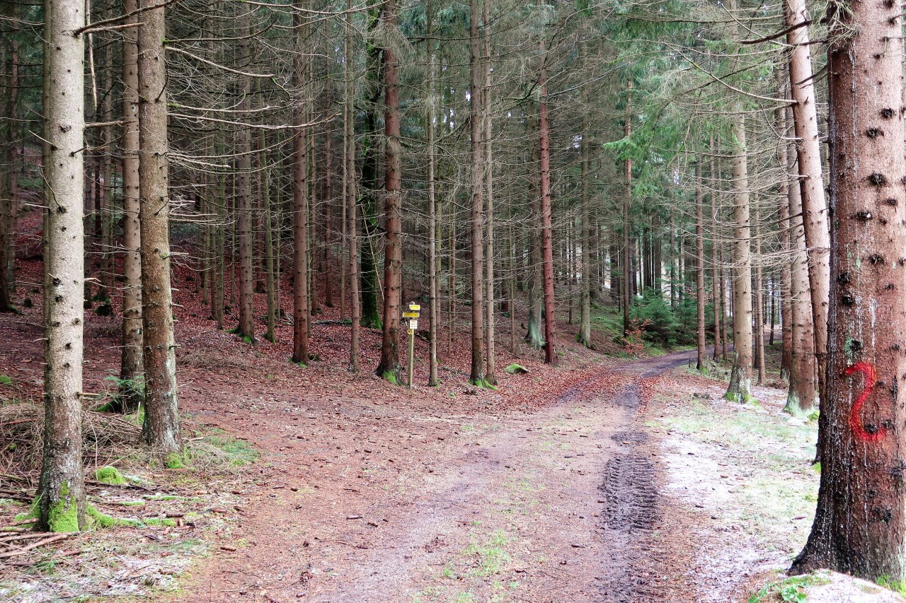
Just south of it ...
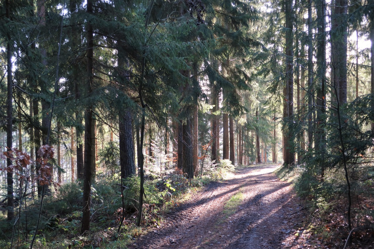
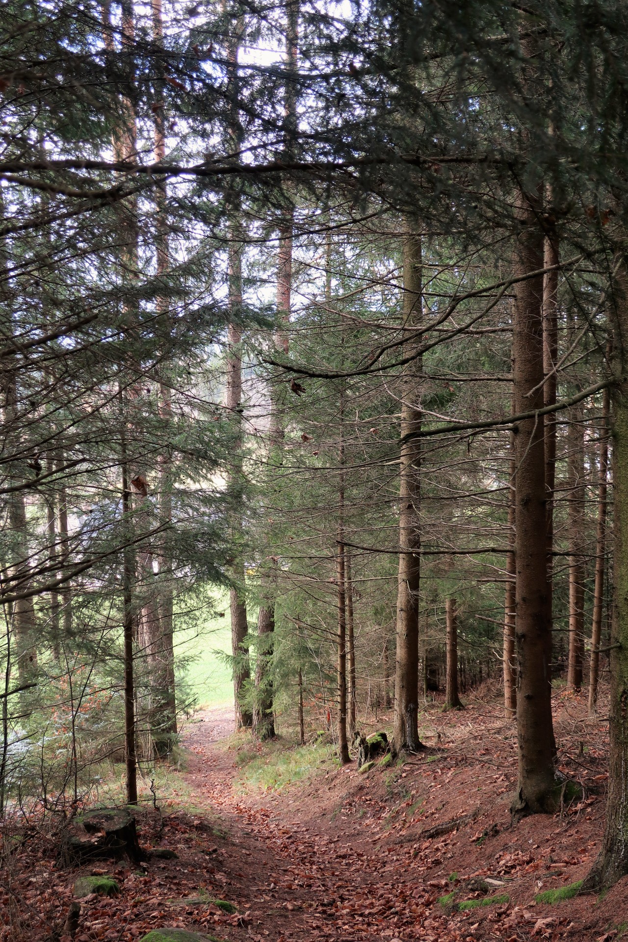
... the path leads through the forest.
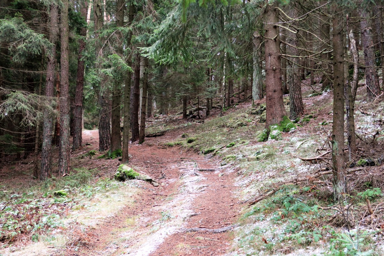
At this intersection ...
... I finally find a signpost with the inscription "Kempfendorfer Berg".
Left up
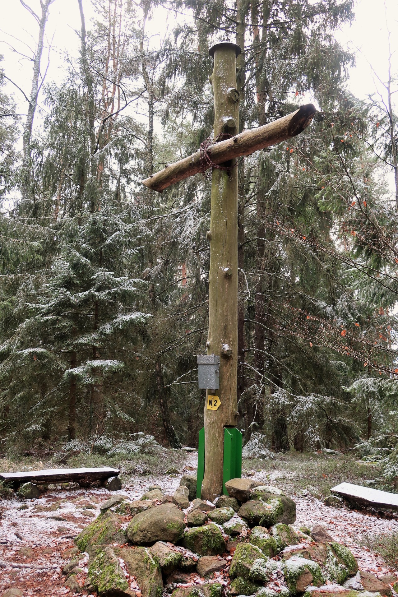
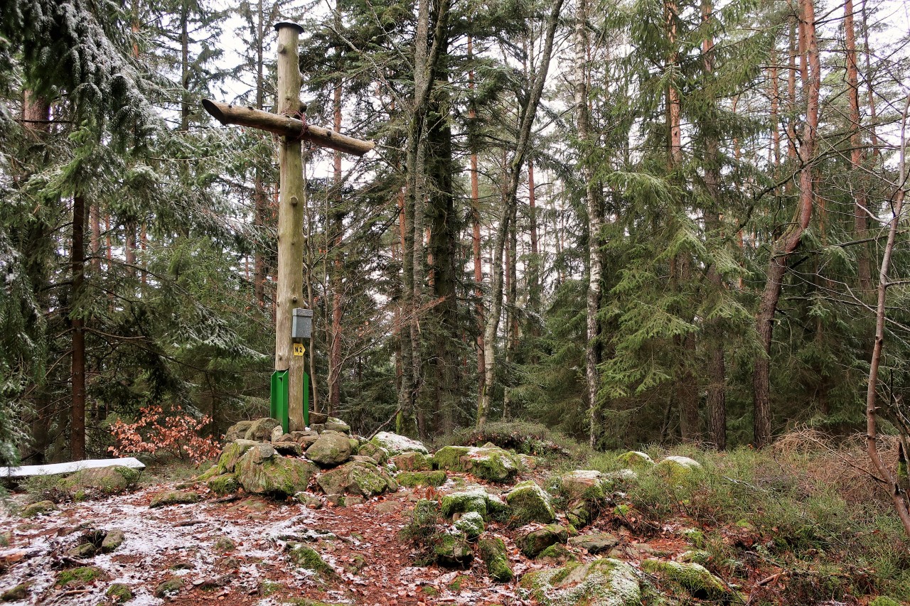
Kempfendorfer mountain (729 m)
I stay at the summit for a long time and call and call ...
descent
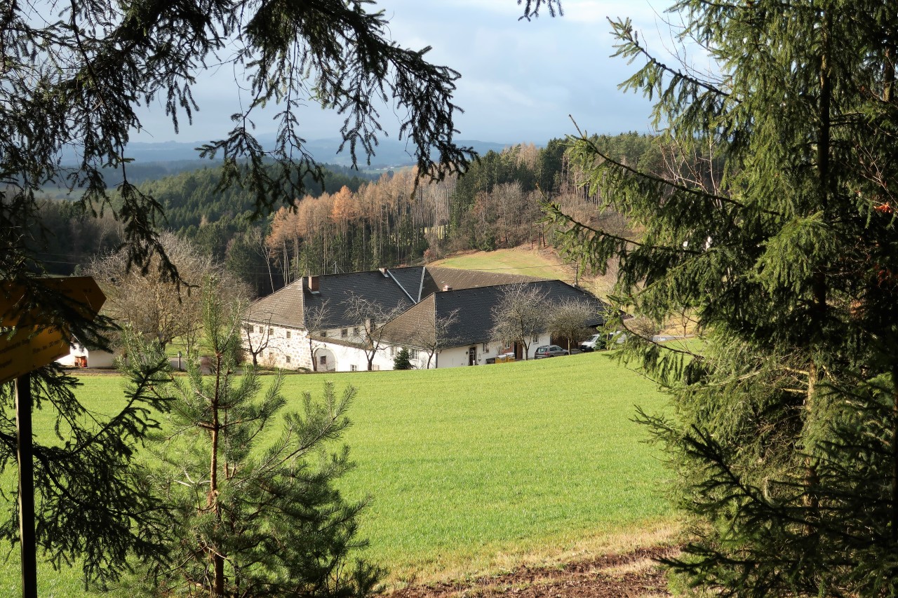
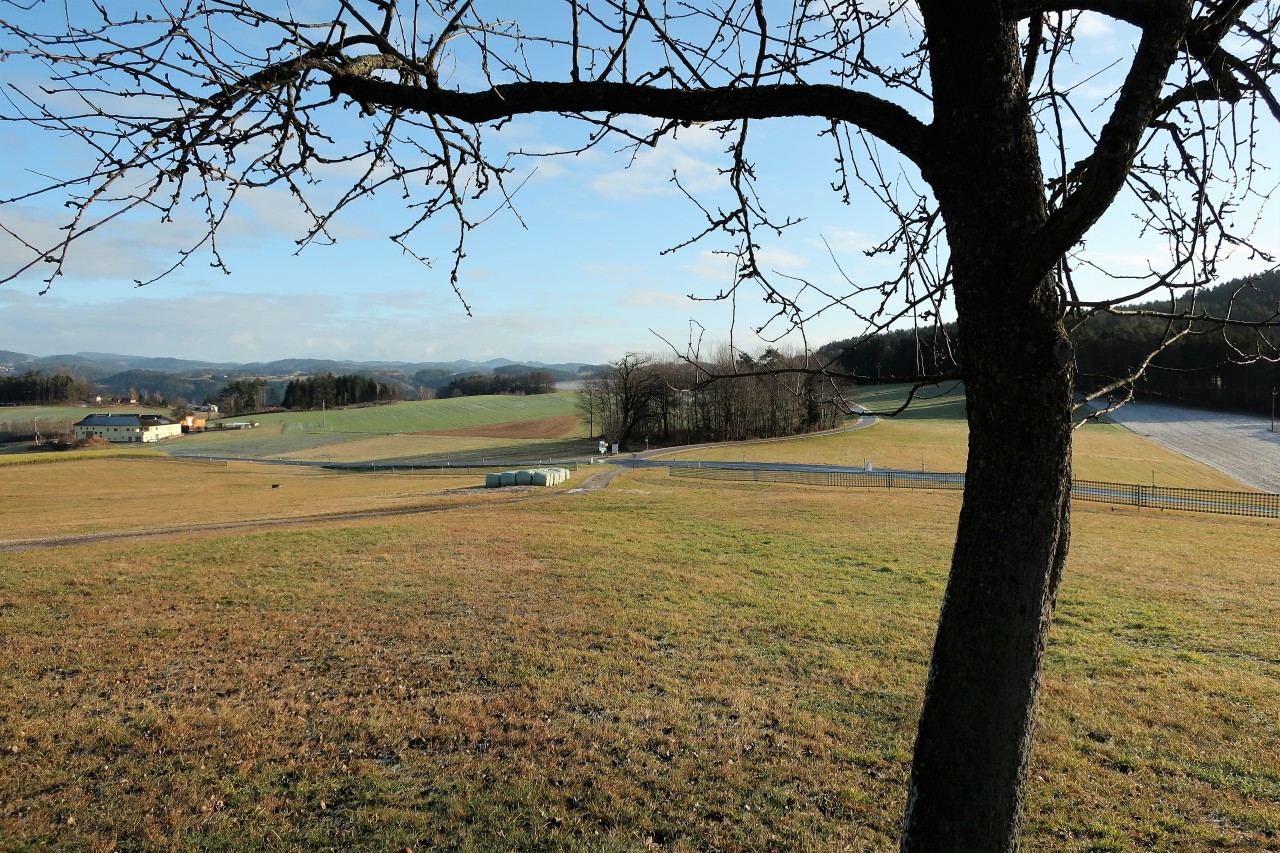
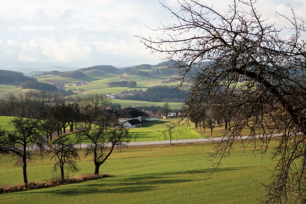
A Mühlviertler Dreiseithof ducks into the landscape.
And that's where I come from ...
At the upper path direction Neumarkt
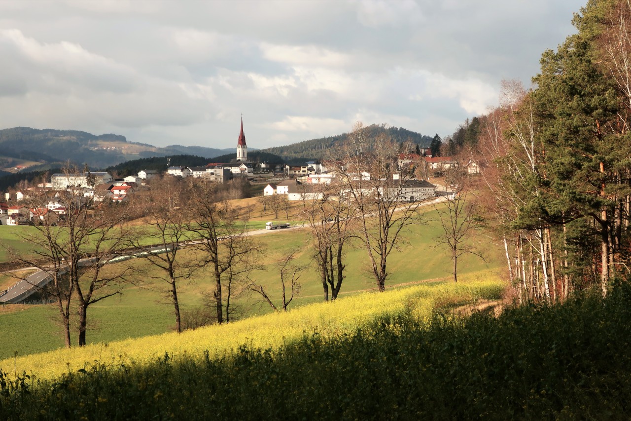
Neumarkt ahead
Back after 5 hours
No comments:
Post a Comment