Dec 19, 2019

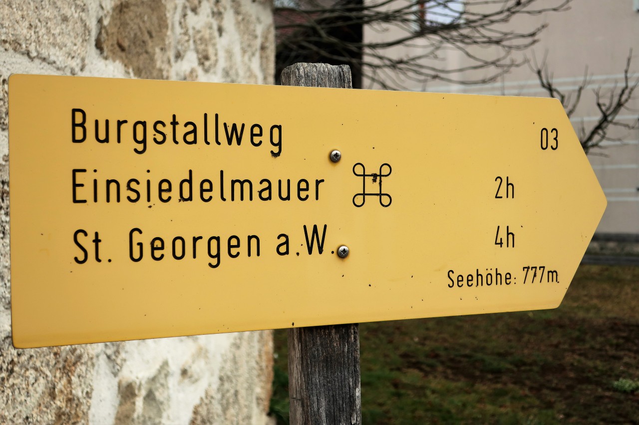
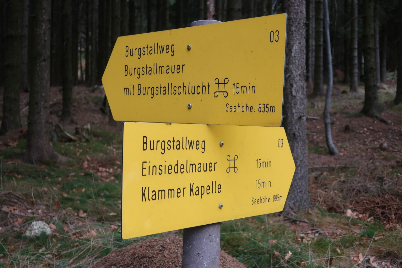
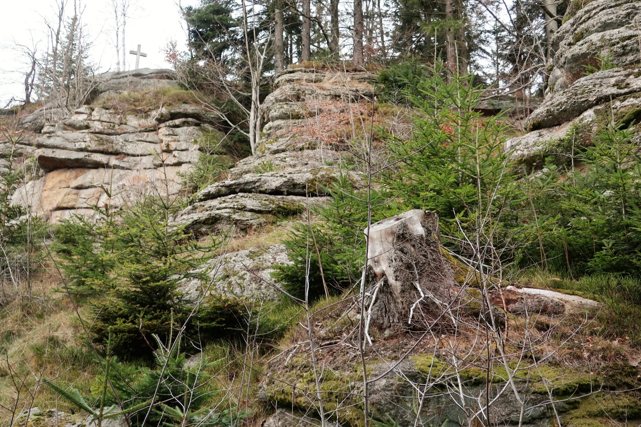
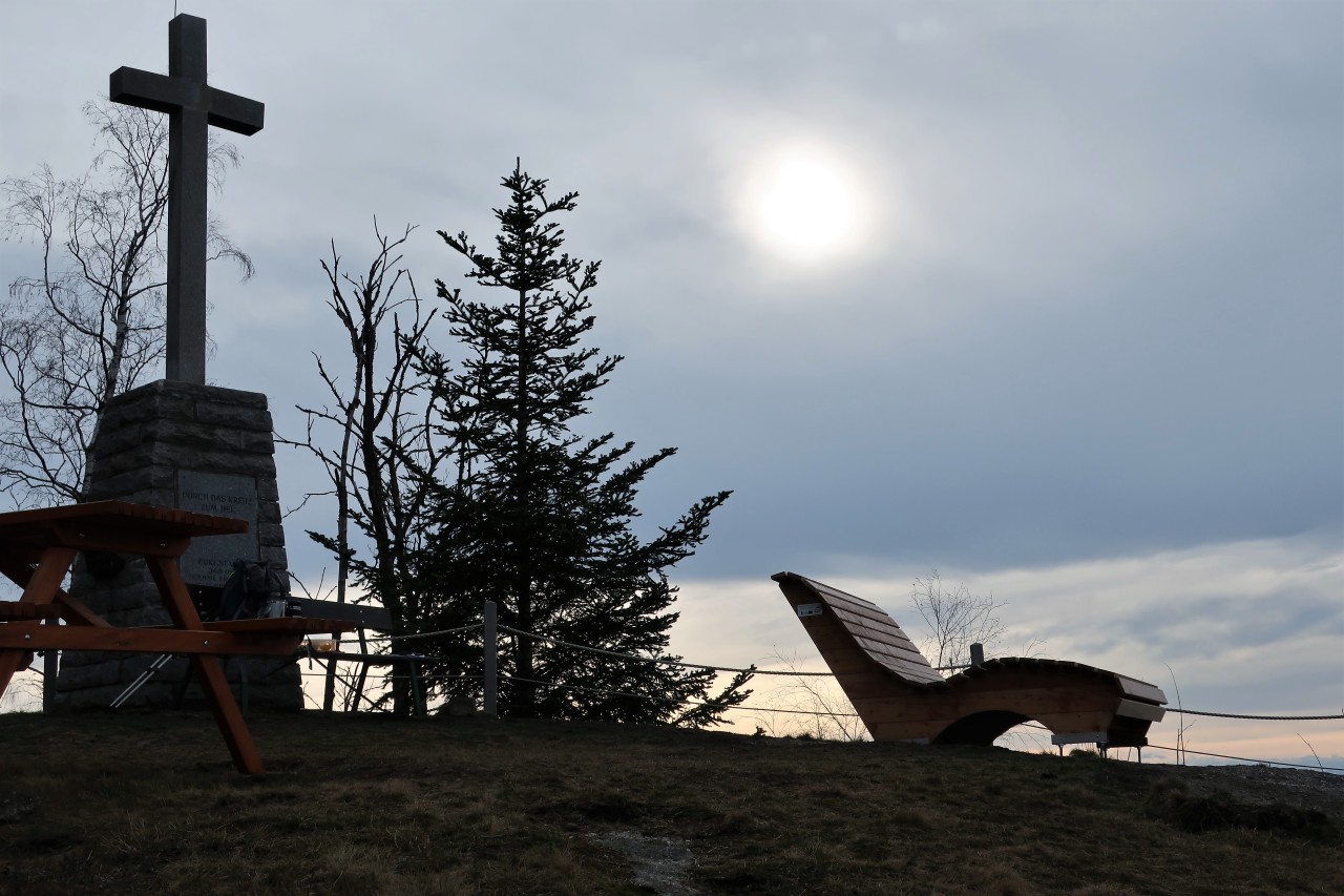
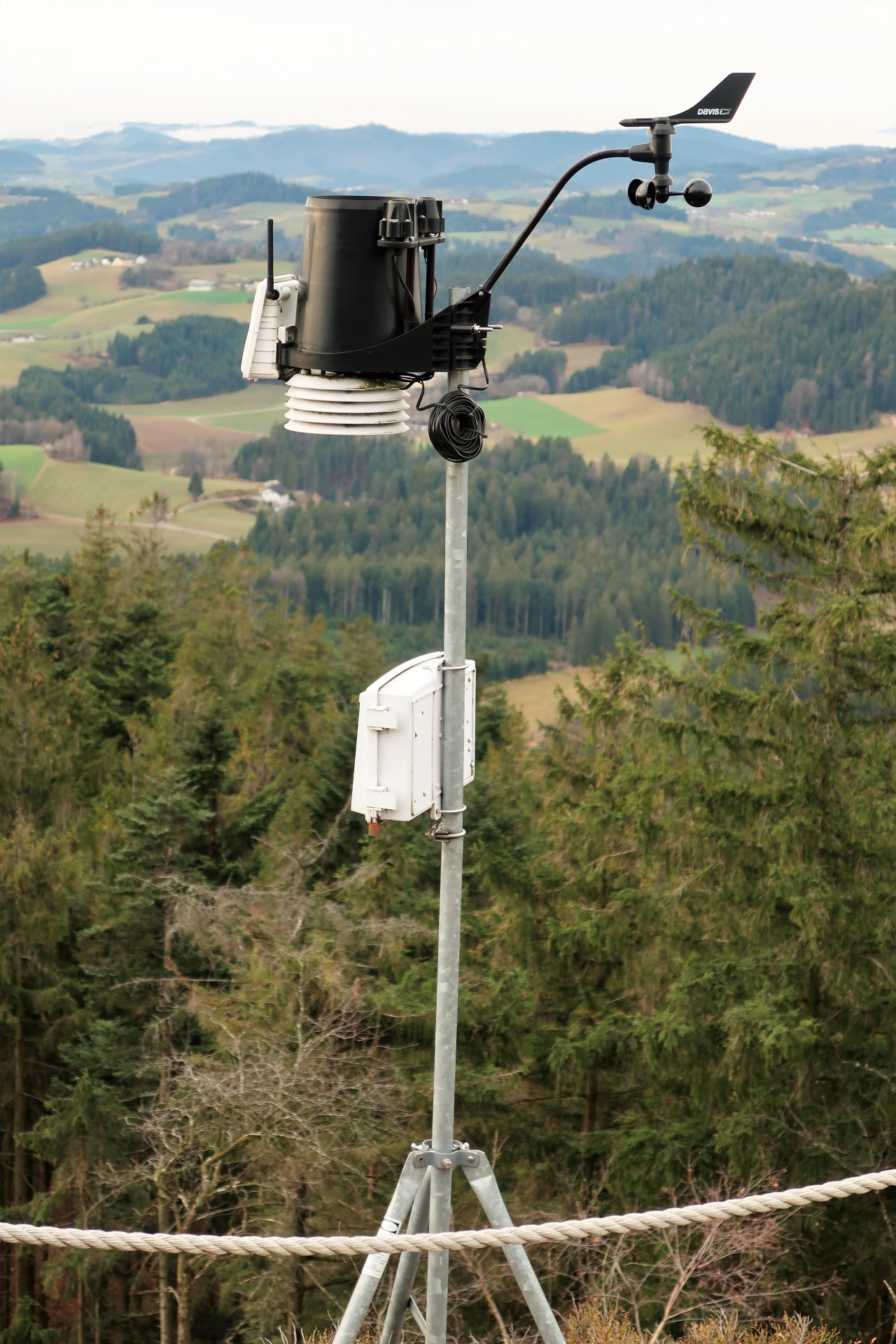
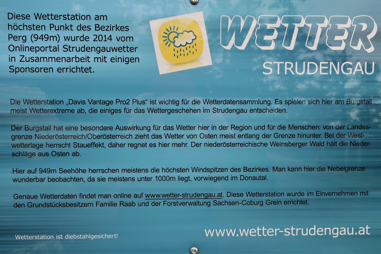
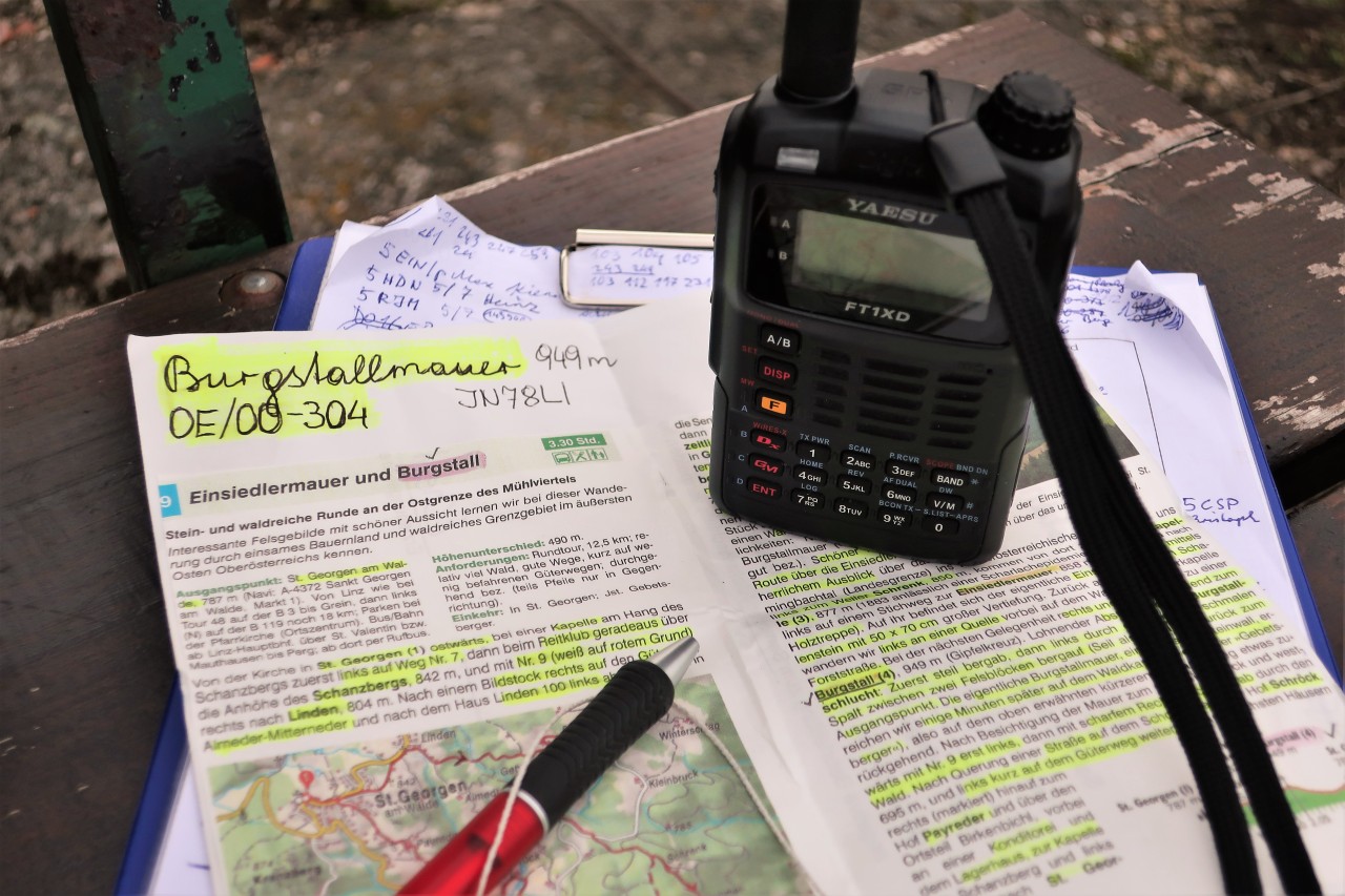
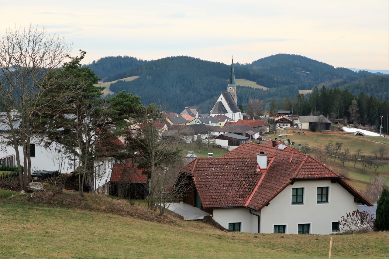
Activity: hike to the castle stable wall (949 m, JN78LI, SOTA / GMA); Flatly 
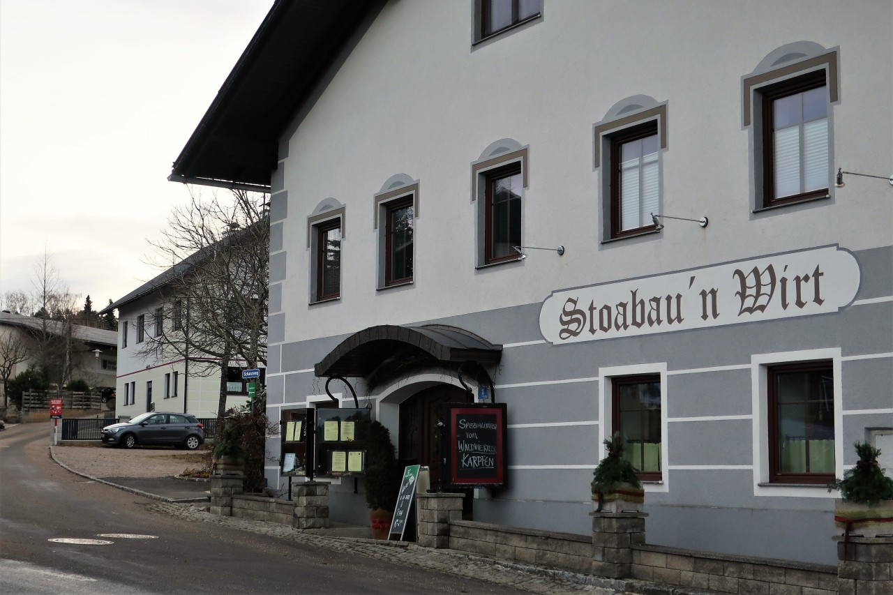
Start and finish: St. Georgen am Walde / parking lot at Gasthaus Stoabau'n Wirt
Total duration: 5; 45 hours
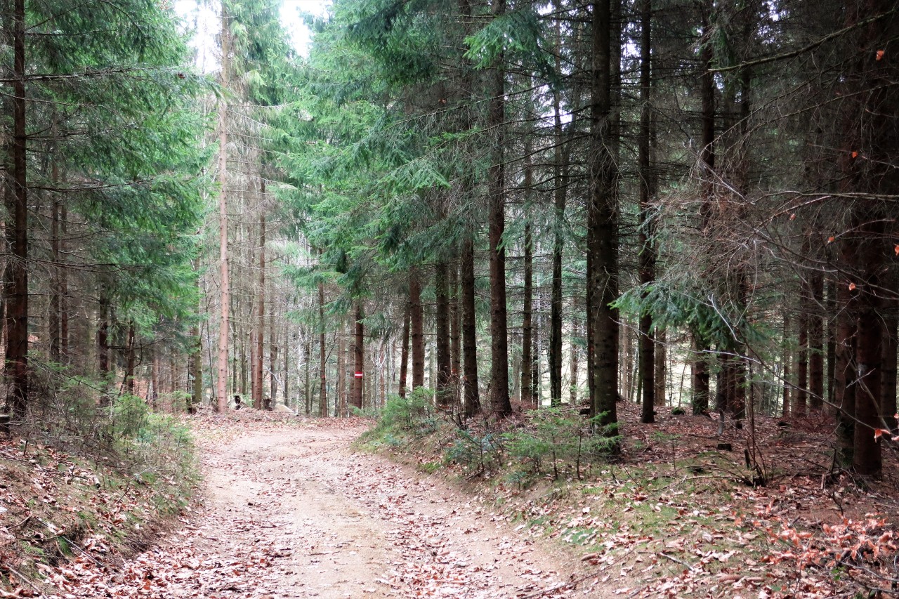
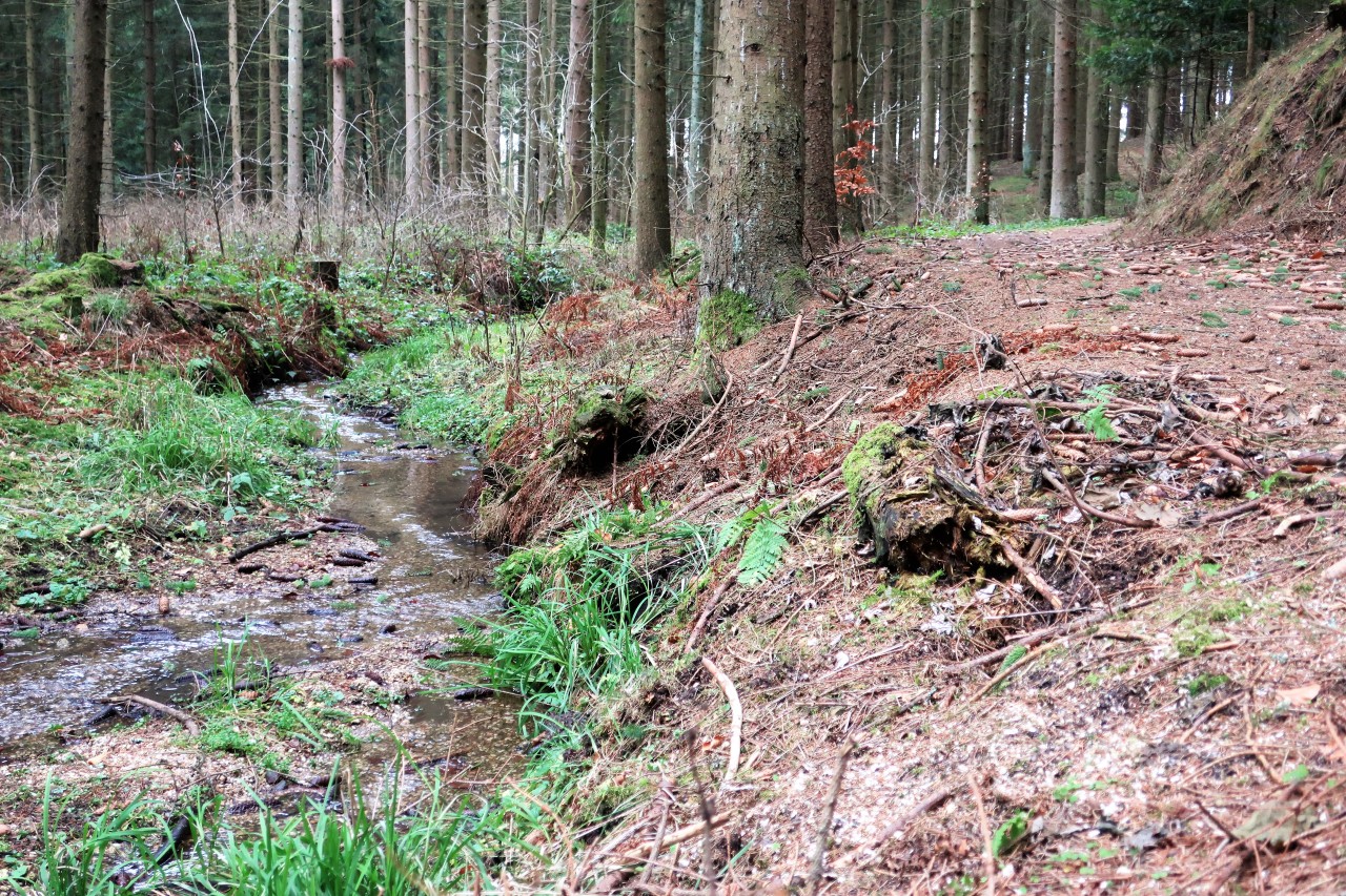
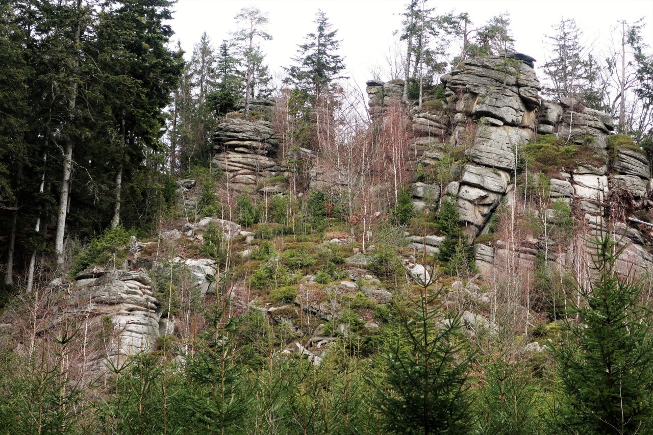
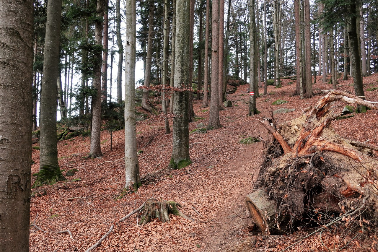
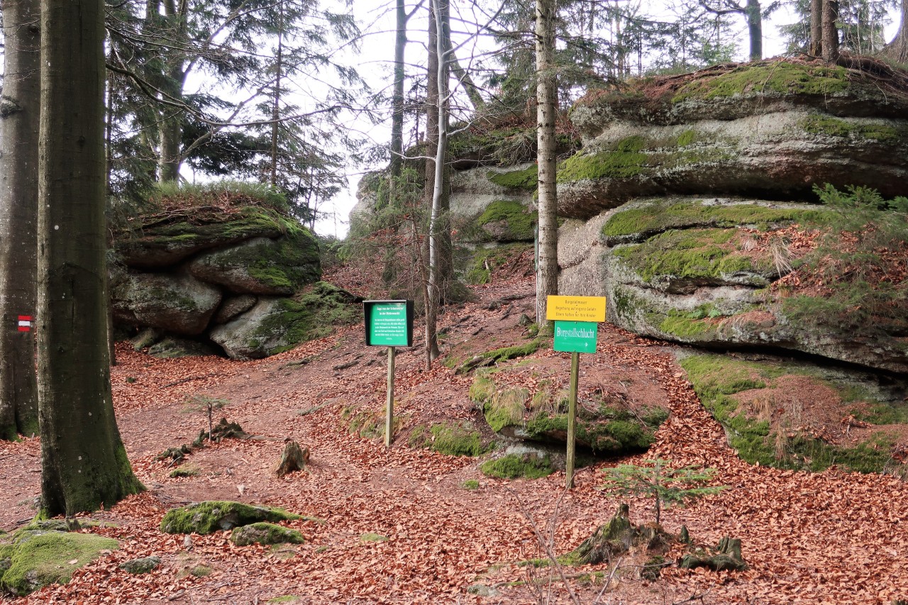
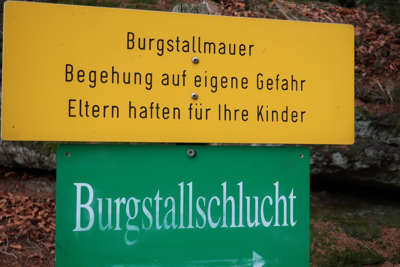
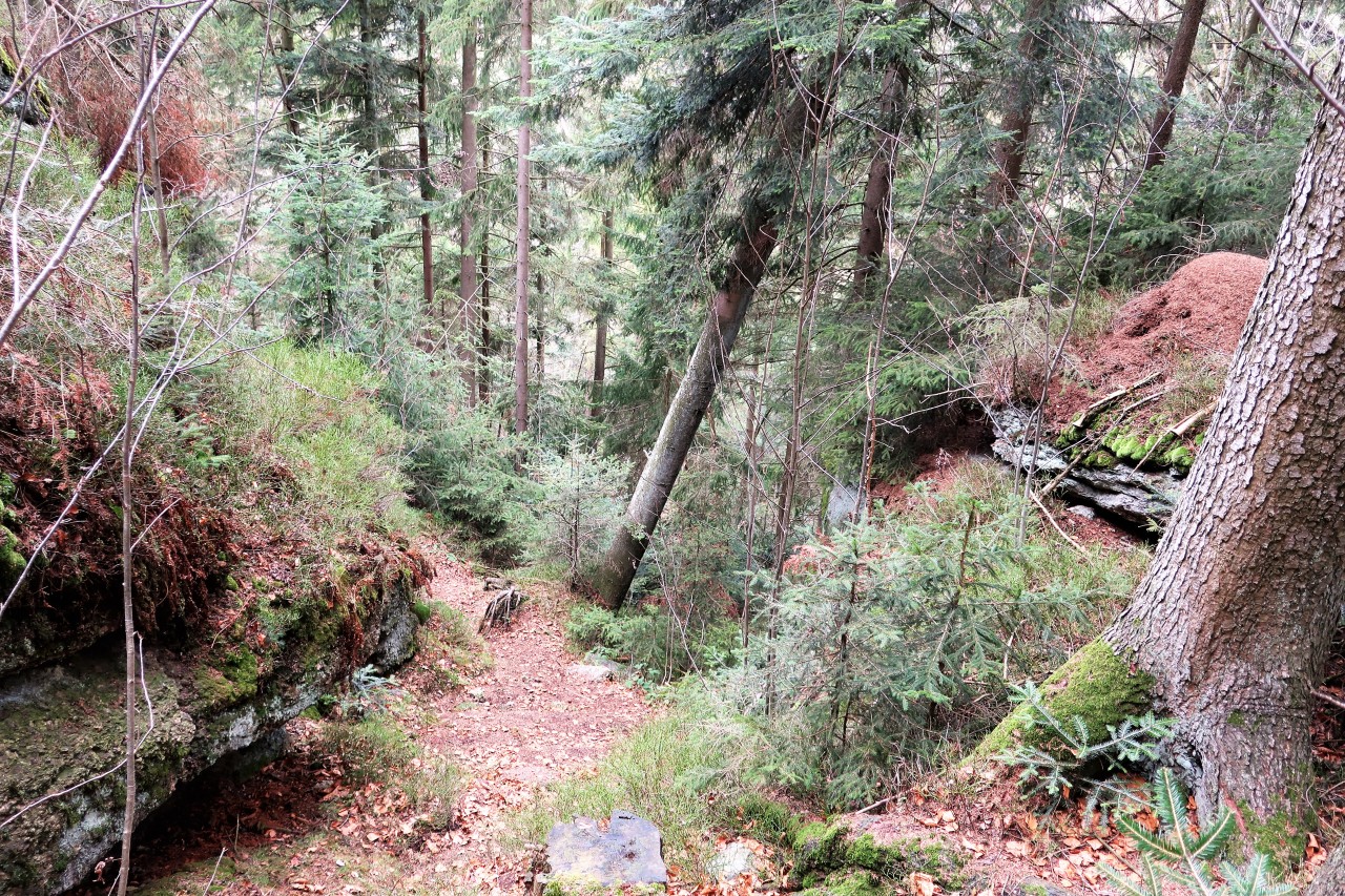
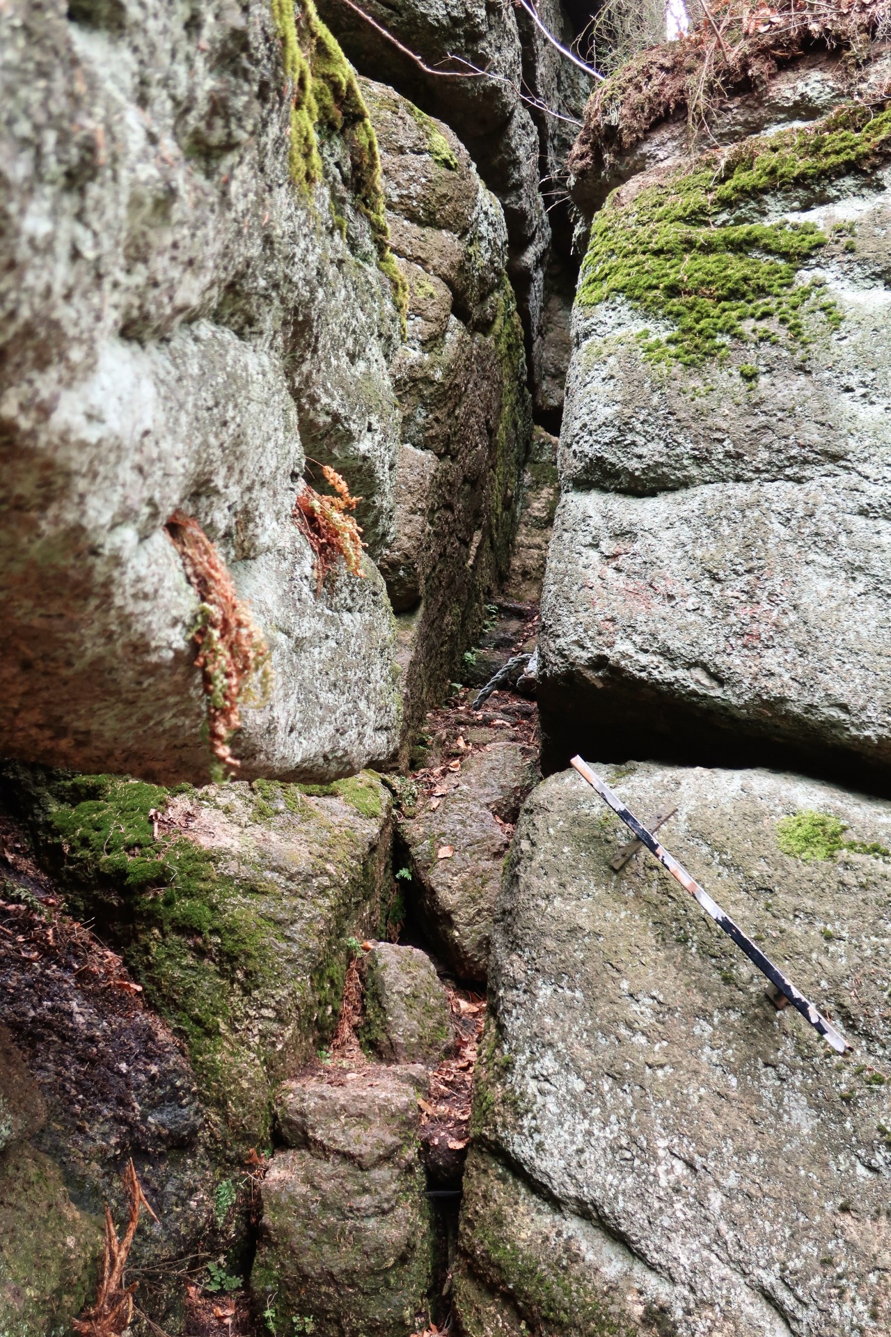
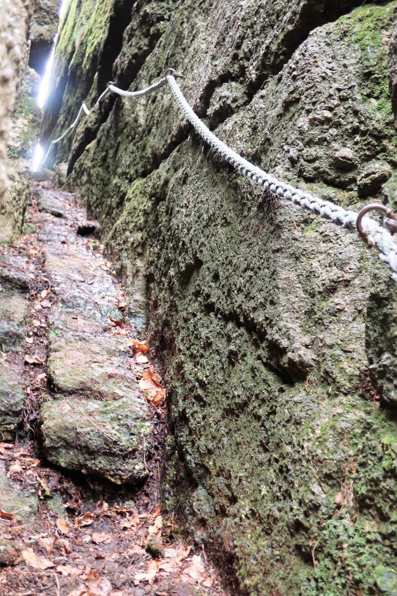
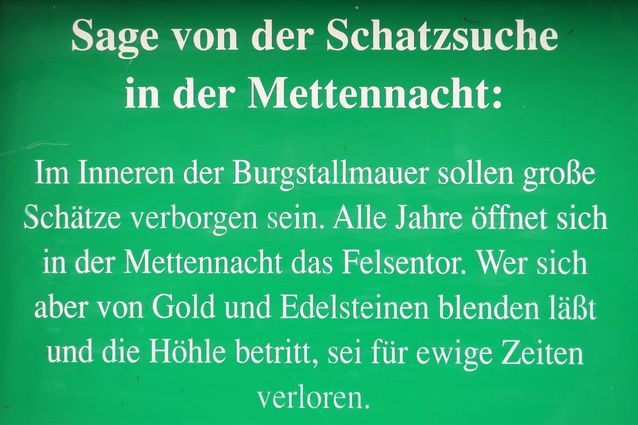
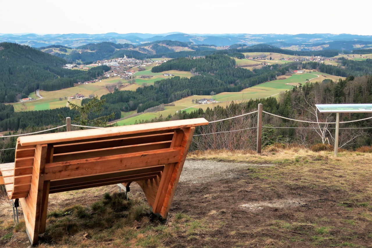
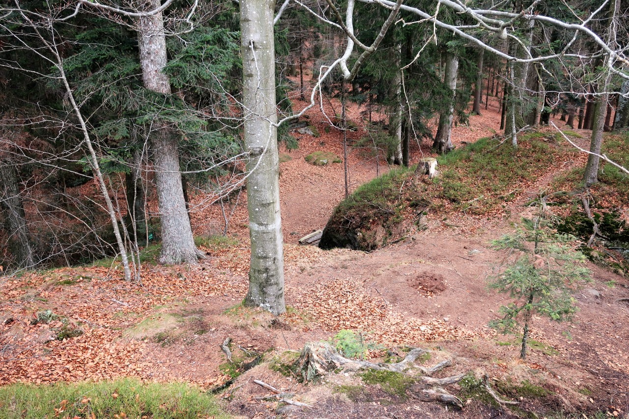
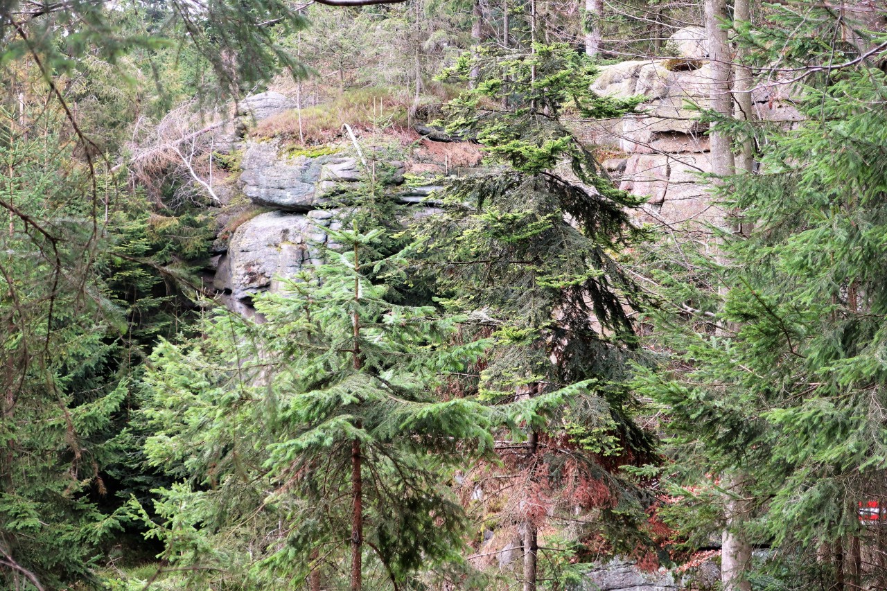
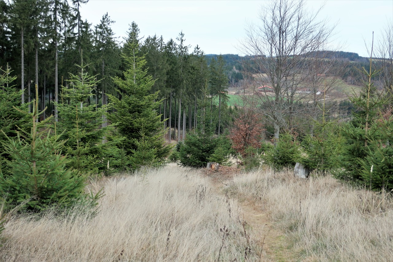
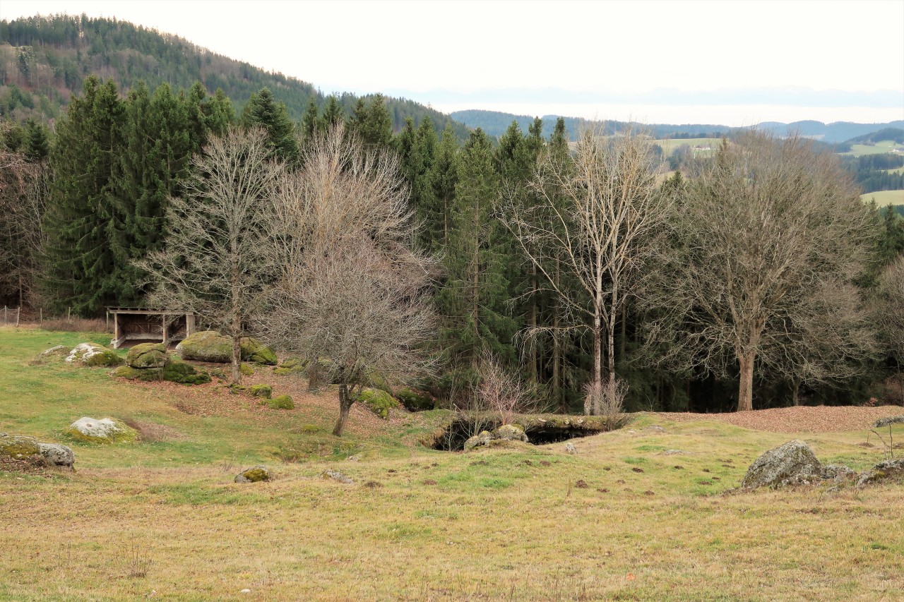
Path: well signposted / marked forest roads, forest and meadow paths as well as some rocky passages (Burgstallschlucht: very narrow ascent, put your backpack down beforehand!)
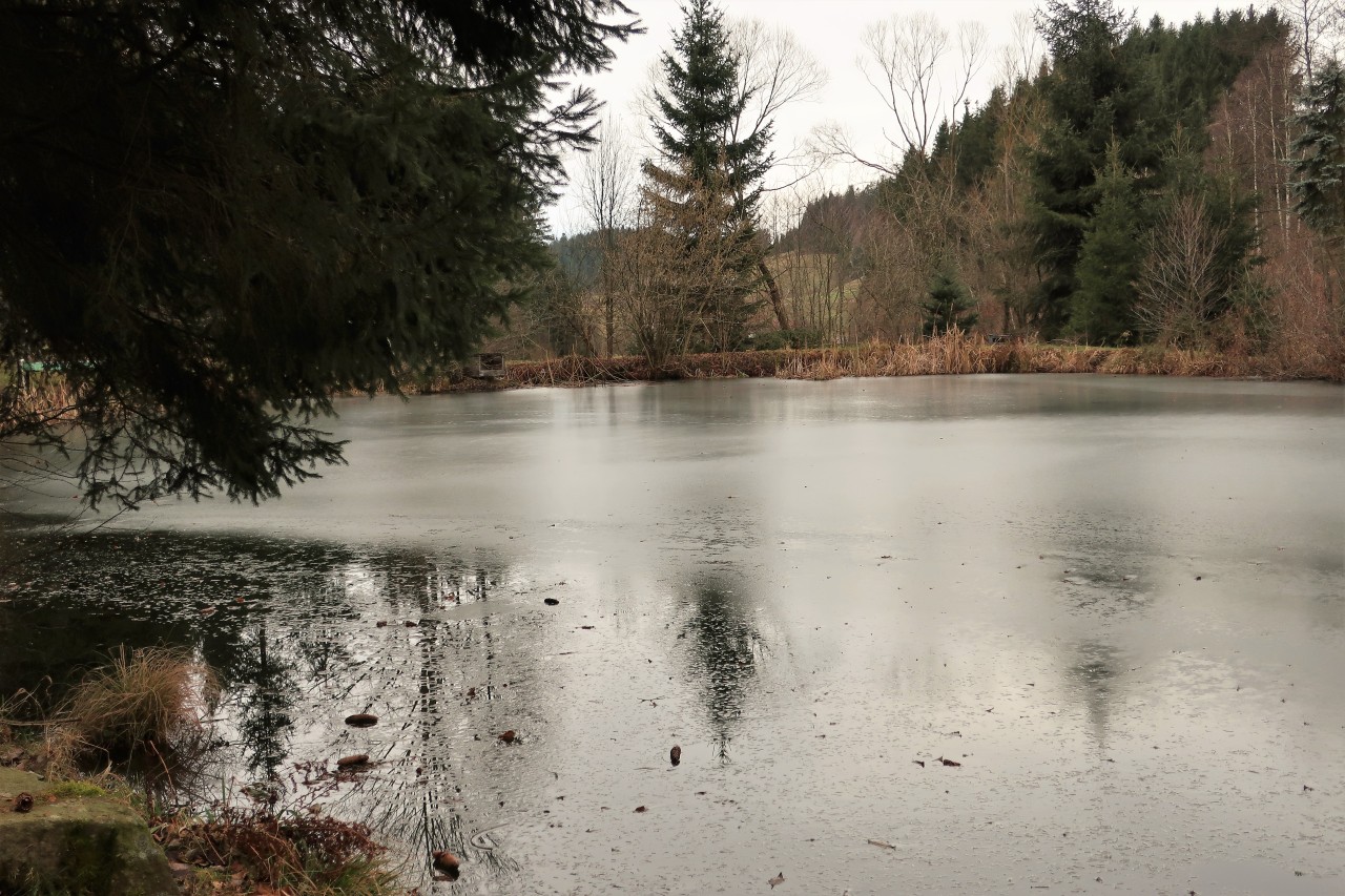
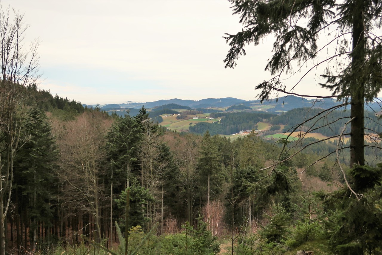
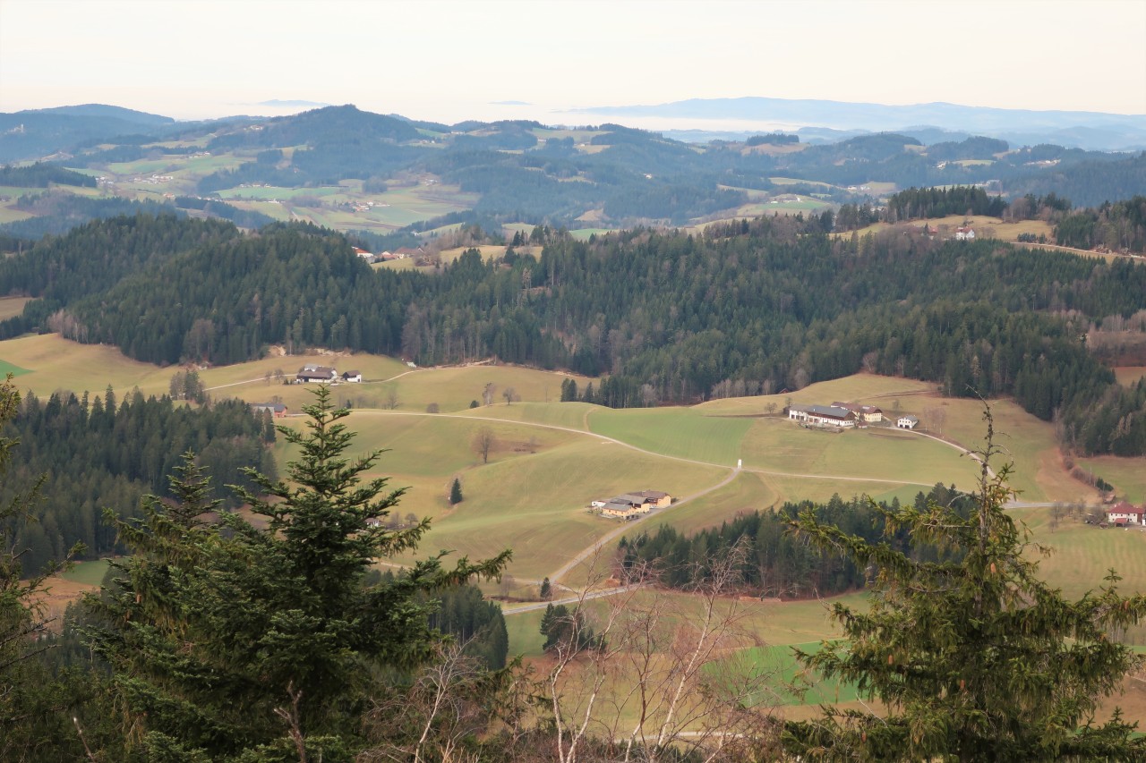
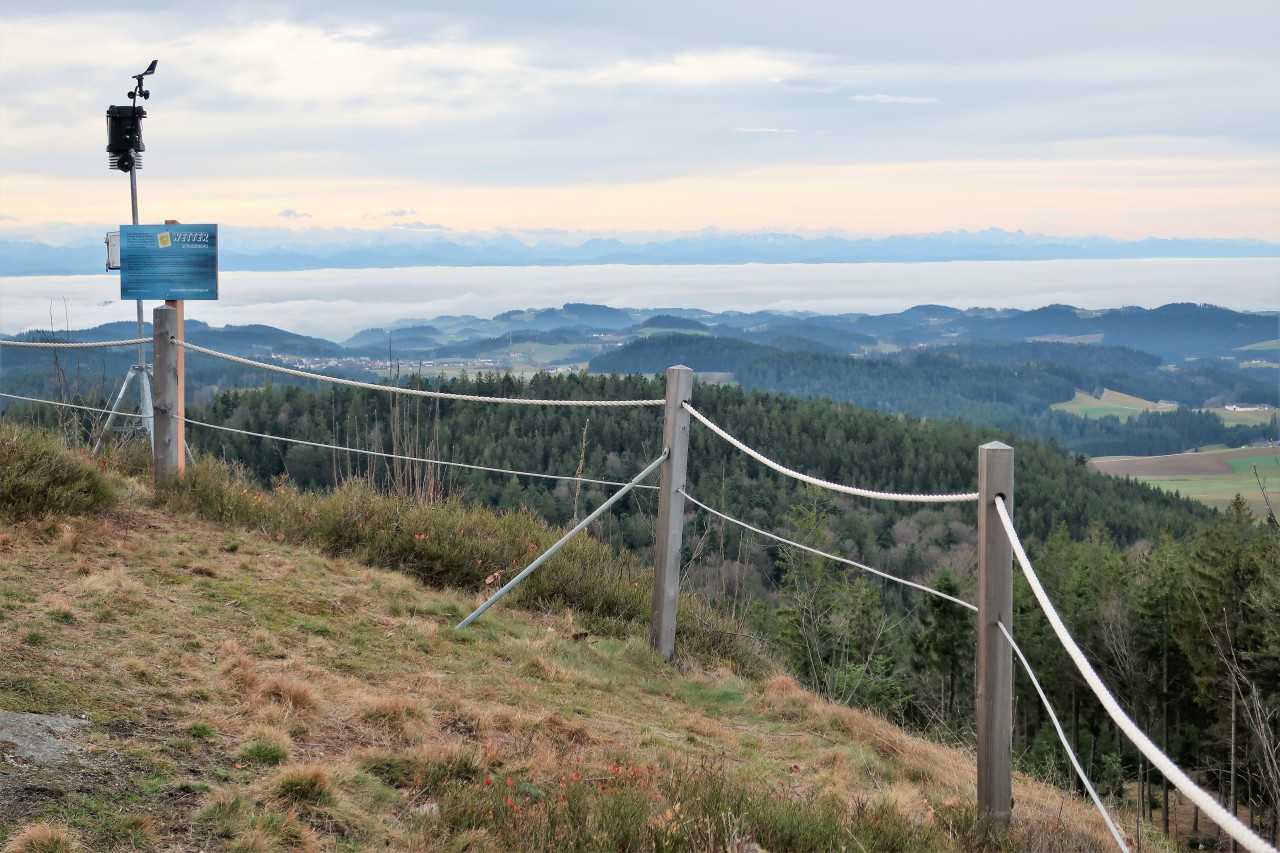
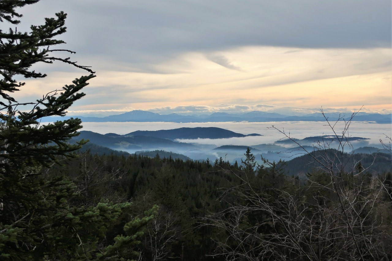
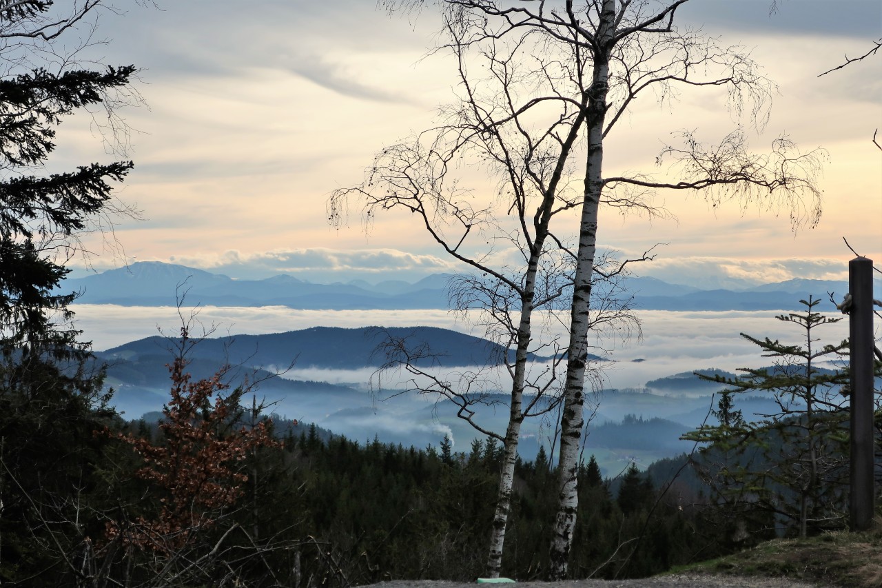
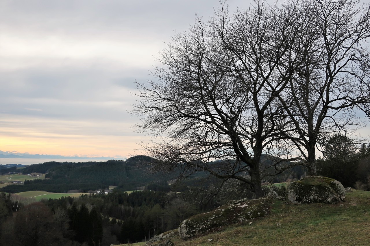
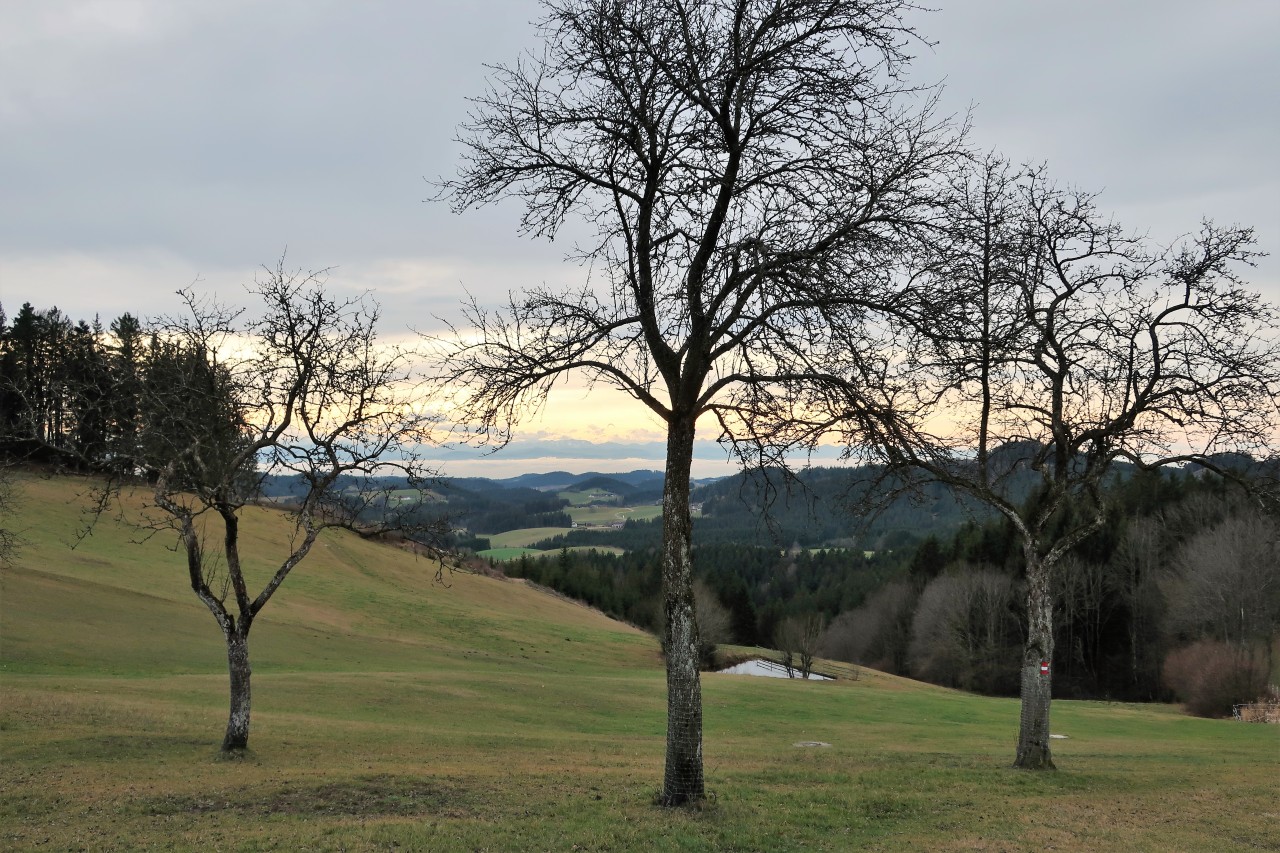
Weather: cloudy, hardly any sun, sea of ​​fog over the Alpine foothills, too warm for the season; some wind at the summit
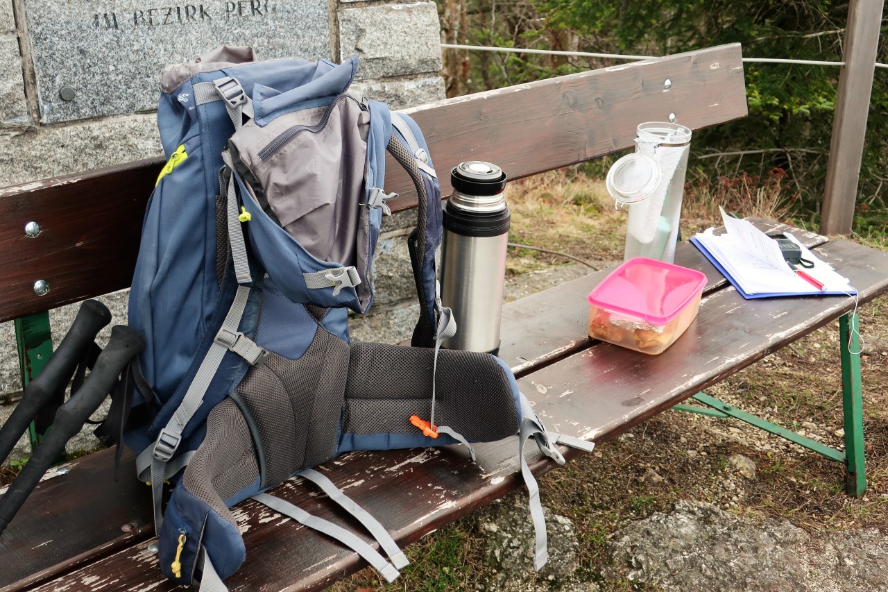
Amateur radio: Yaesu FT1XDE with original spiral antenna; Max. 5 W FM at 2 m and 70 cm
QRV on the castle stable wall (949 m, JN78LI, SOTA / GMA): First in a small group with Joe, OE5JJL and Karl, OE5KAG, via the Geiersberg repeater; then 3 direct QSOs with Gerold, OE5GEL, Franz, OE5FSL and Val, OE5VJO, on 145,500 MHz.
image
St. Georgen am Walde: Parking lot at the Stoanbau'n Wirt
image
Opposite the first sign: Burgstallweg 03, a circular route over the Burgstallmauer.
image
Impressions from the way
image
image
ice accumulation
image
Not yet the castle stable wall
image
Somewhere in the distance the Alps should be ...
image
Left…
image
…through the forest…
image
… To build the summit of the castle stable wall
image
First down into the gorge
image
image
It's getting tighter and tighter ...
image
... but I can barely get through without a backpack.
image
Postal wall back
image
image
Burgstallmauer (949 m): summit plateau
image
View of St. Georgen…
image
... and in the round
image
image
Where the weather is “made”
image
image
The Alpine chain in the SO
image
Sea of ​​fog over the foothills of the Alps
image
image
Good conditions, few stations!
image
Descent…
image
... and continuation of the circular route
image
image
image
image
image
Wind turbines in linden trees
image
Back in St. Georgen am Walde