Date : 1.12.2019
Activity: Hiking on the Miesenberg (993 m, JN67TU, SOTA / GMA); Descent like ascent
Start and finish: Steinbach am Attersee / parking lot at Gasthof Kienklause
Total duration: 6 hours
Way: The Miesenberg is nowhere indicated. First follow the initially yellow, then green forest road signs towards Weyregg. Finally, it is not signposted / marked and sometimes quite boggy to the little pronounced peak.
Weather: sunny in the morning with low temperatures, little daily warming; in the afternoon; windless
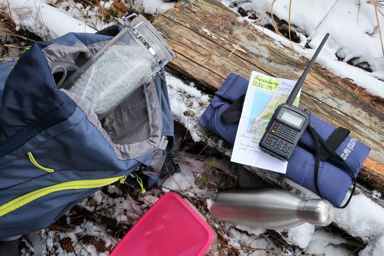
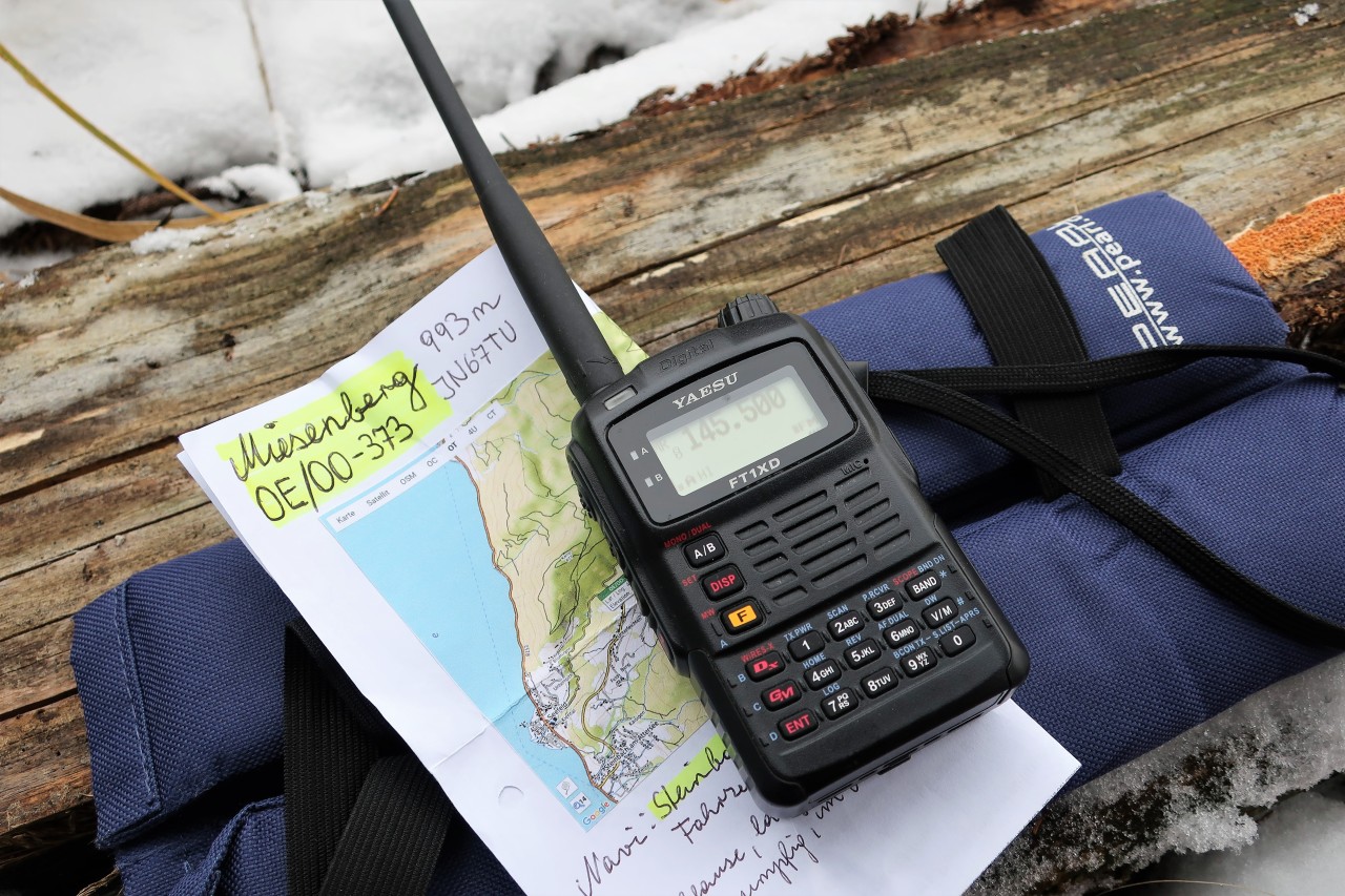
Amateur Radio: Yaesu FT1XDE with original helical antenna; Max. 5 W FM on 2 m and 70 cm
QRV on the Miesenberg (993 m, JN67TU, SOTA / GMA): Despite persistent CQ-calling only 1 QSO on 145.500 MHz with Val, OE5VJO. Later a little round with Heinz, DG5CAK and Reinhold, DC4CD, via the Hochkönig repeater, which comes with a 5/9 plus end stop. - Nice chance meeting at the summit with Heinz, OE5EPP, who works on shortwave and has a lot more luck.
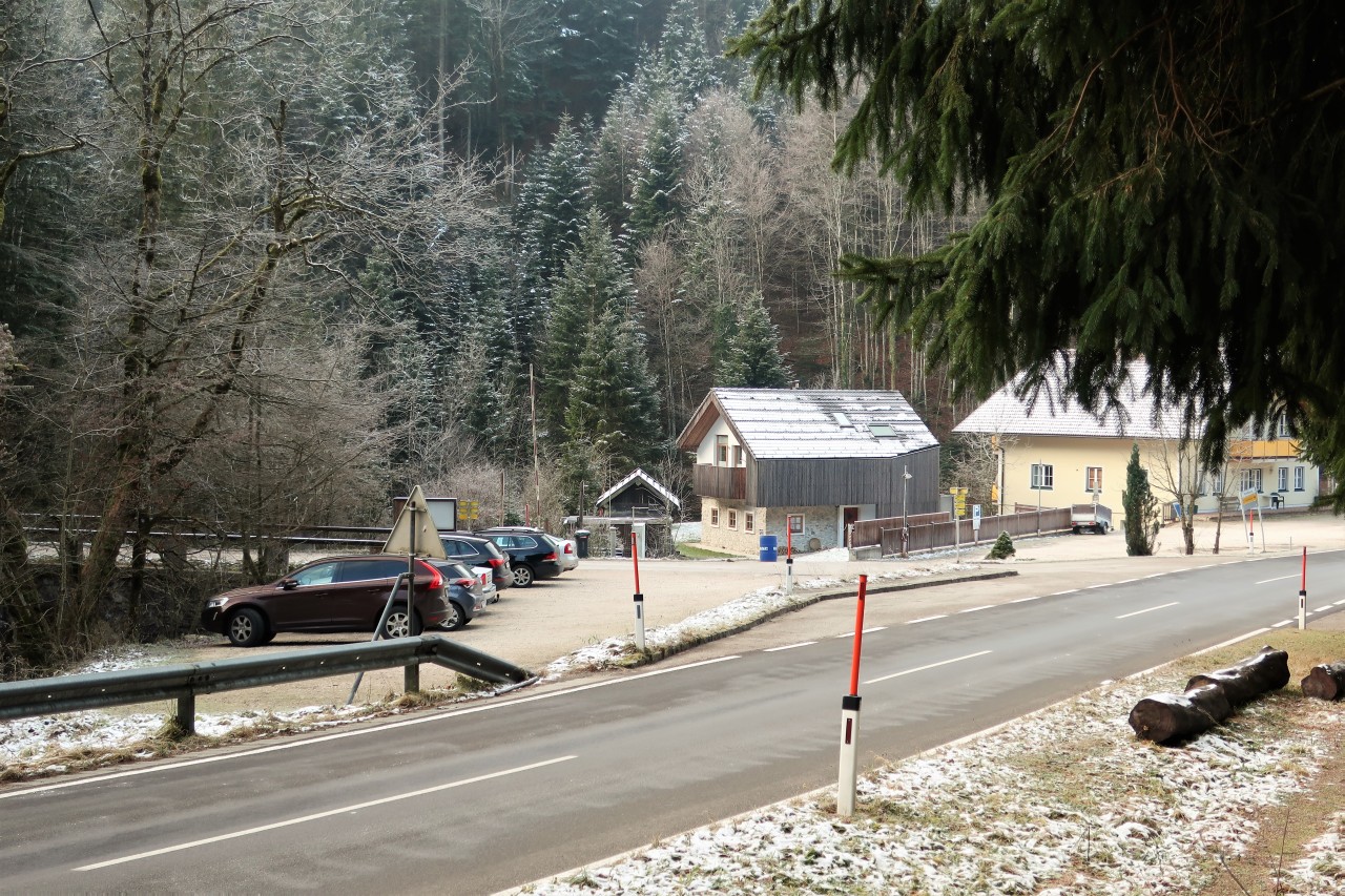
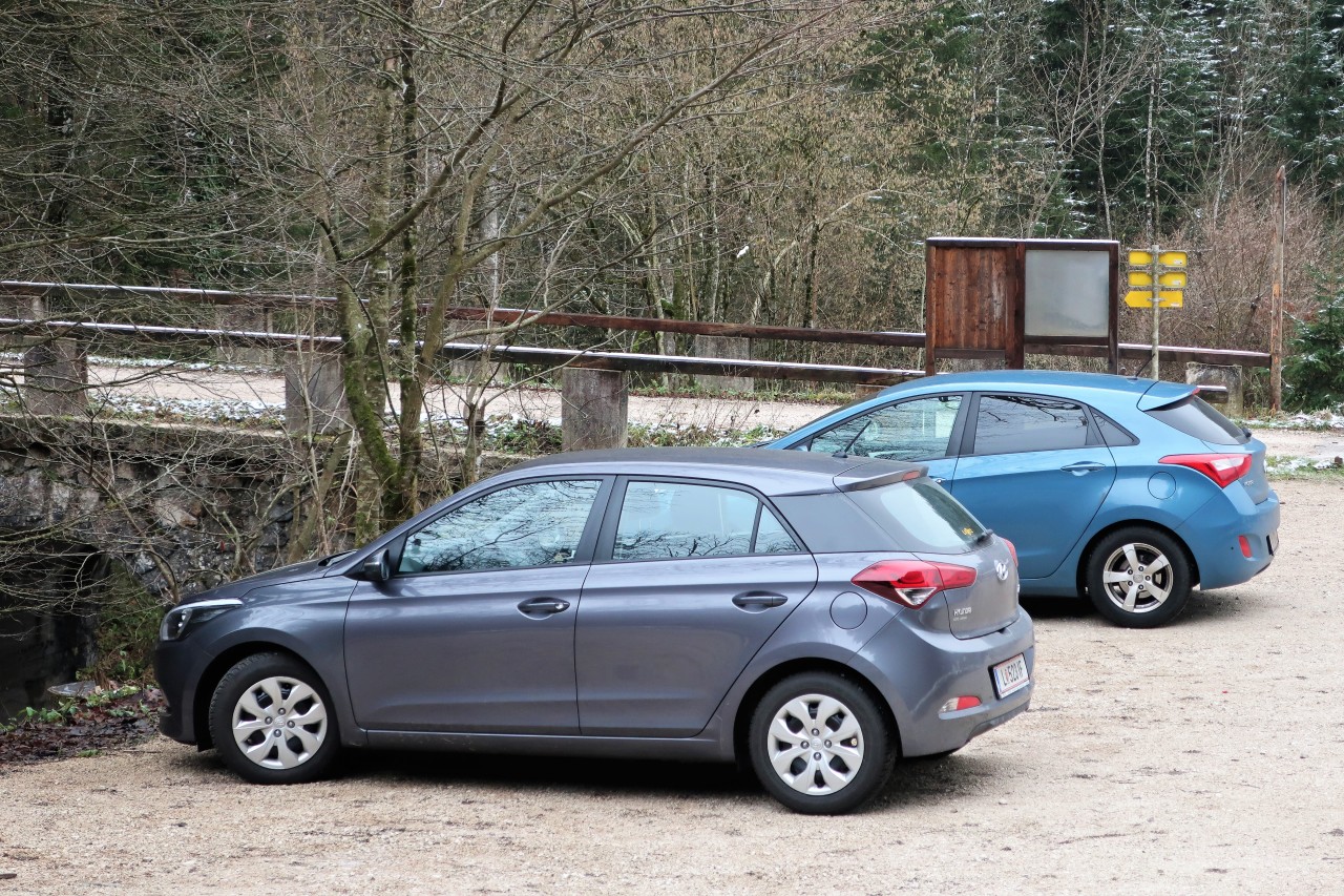
Parking at the inn Kienklause. From here I go briefly up the asphalt road ...
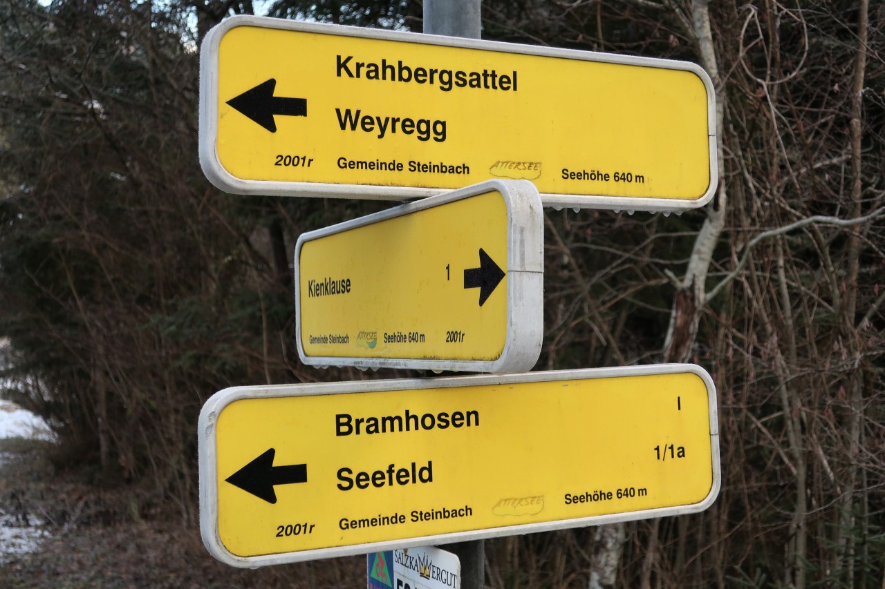
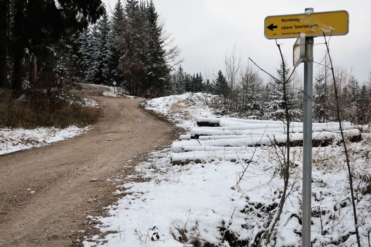
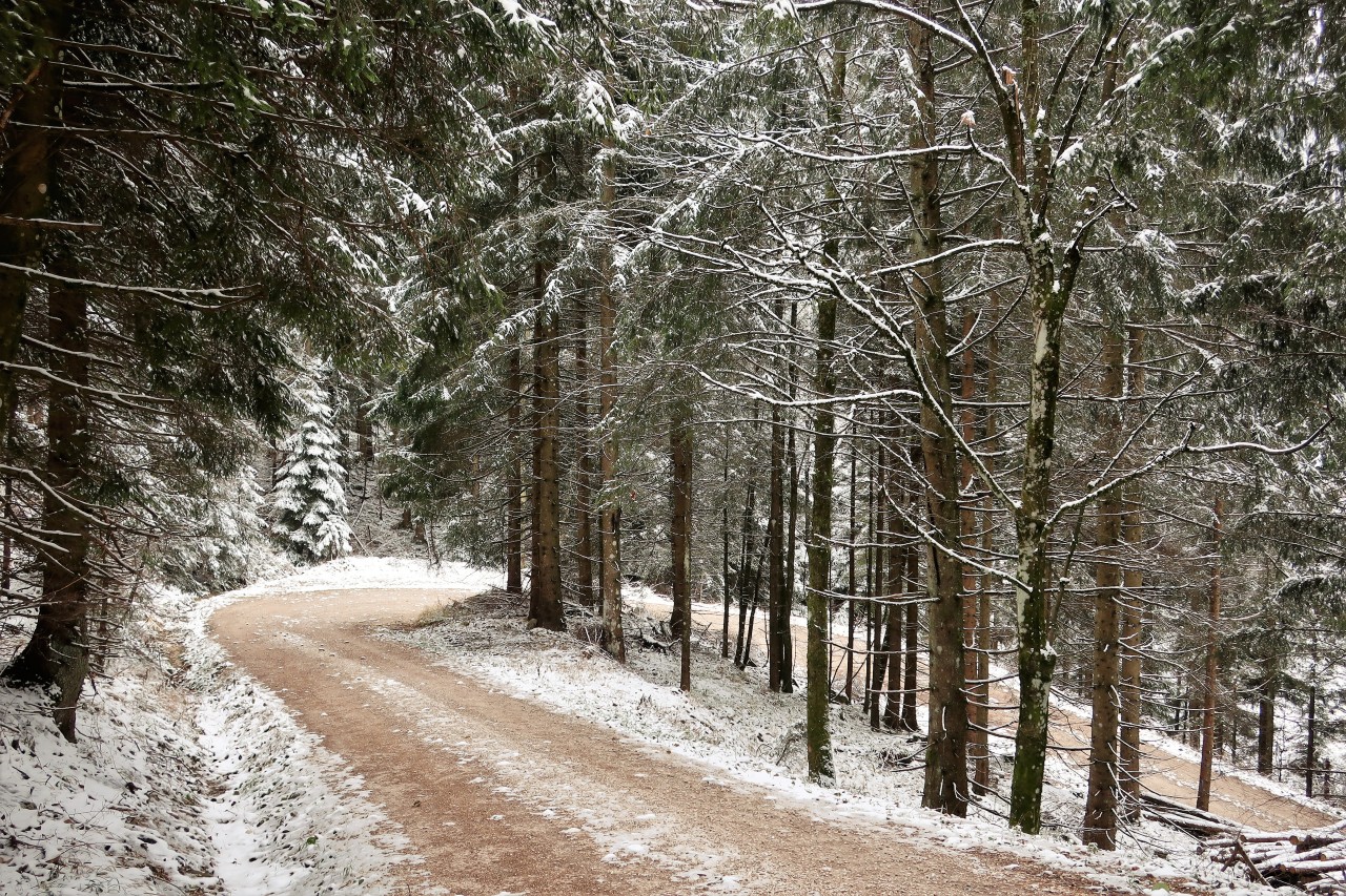
... to these signposts. Here I follow the yellow, later the green signs towards Weyregg.
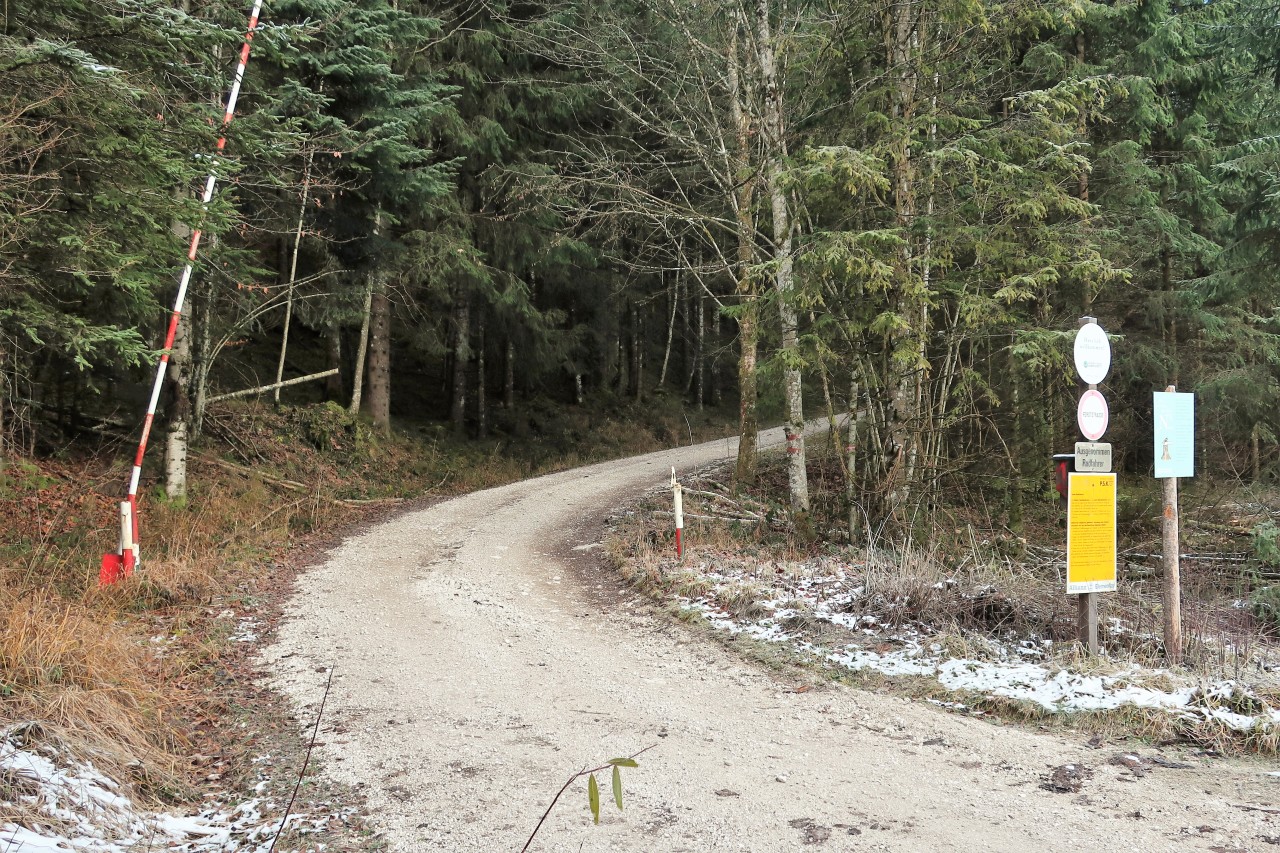
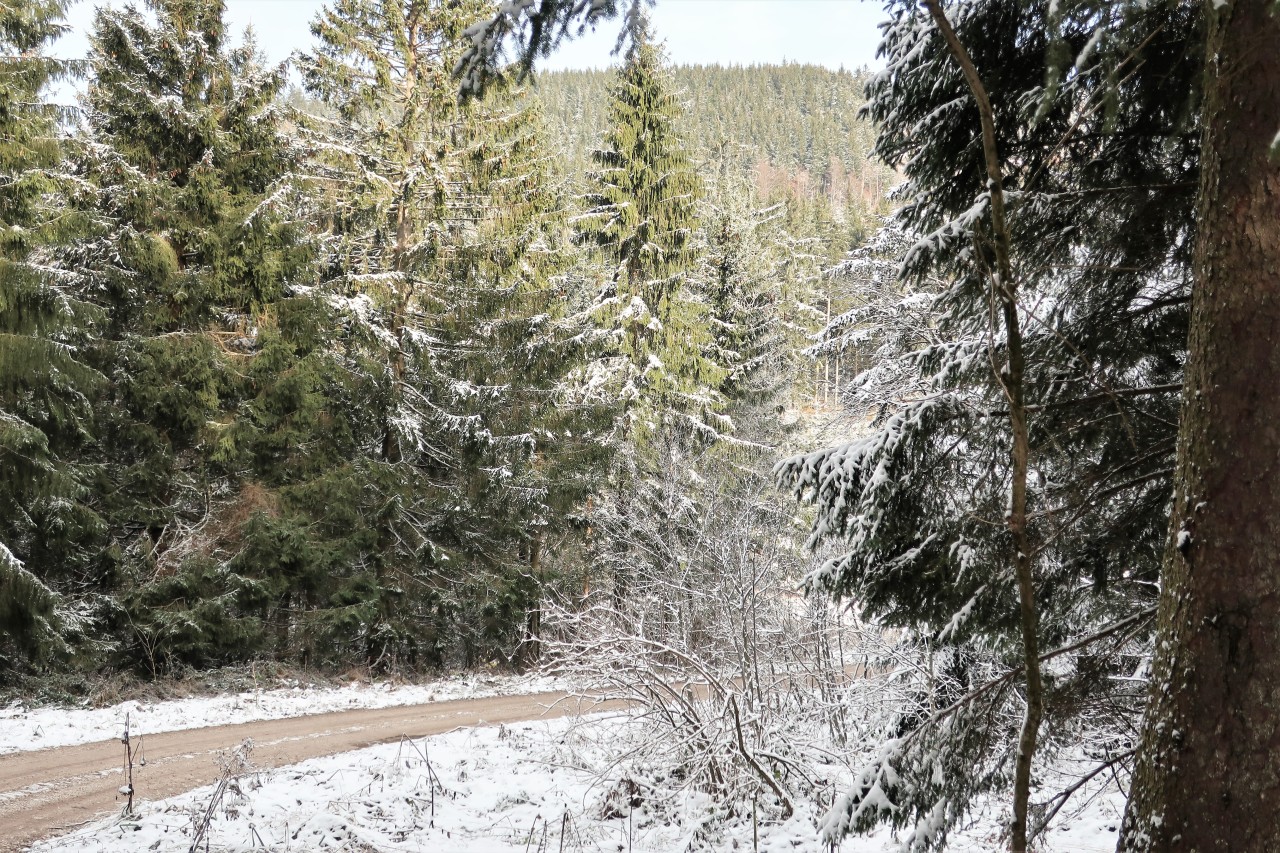
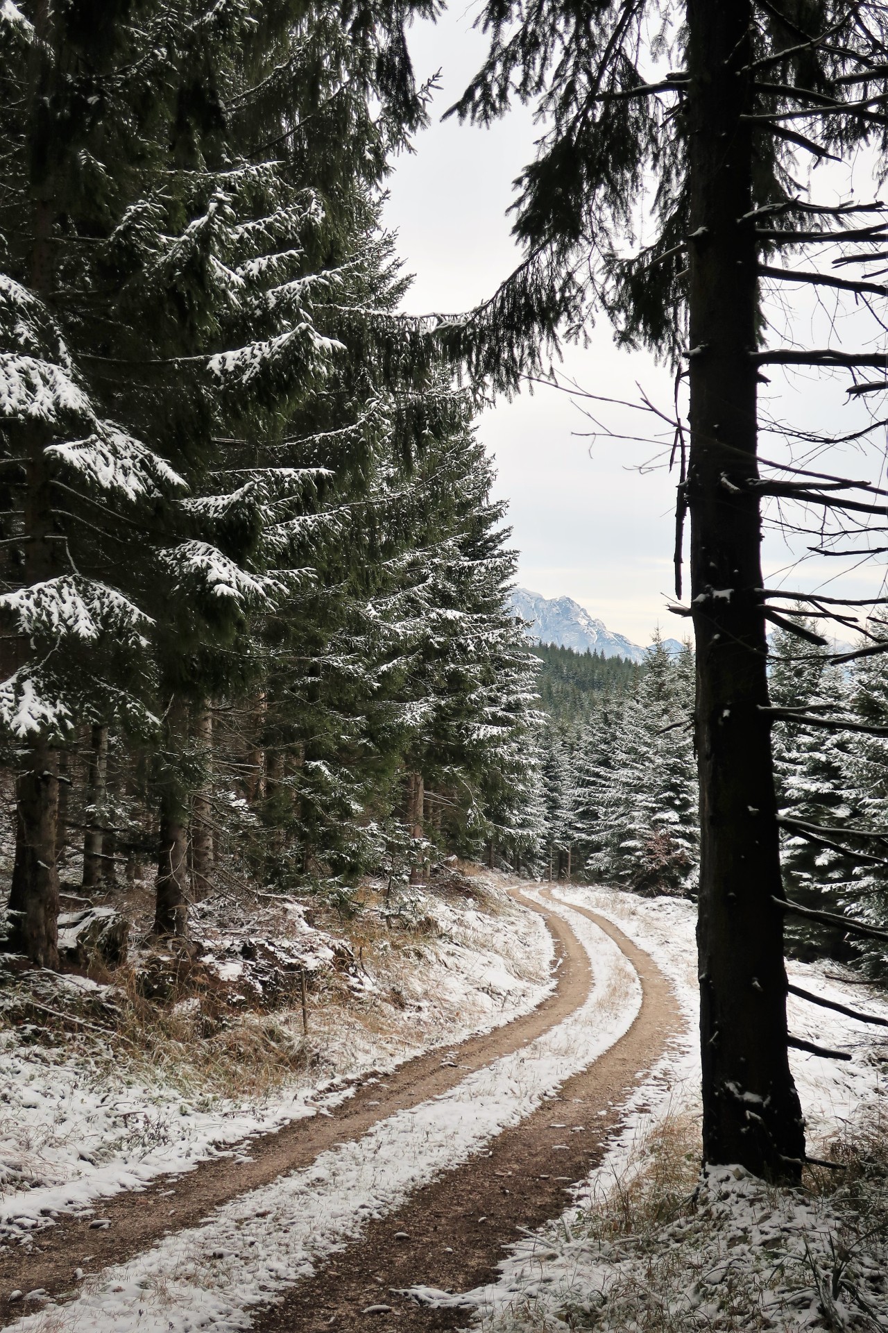
This forest road leads almost to the summit; Mountain biking is initially allowed.
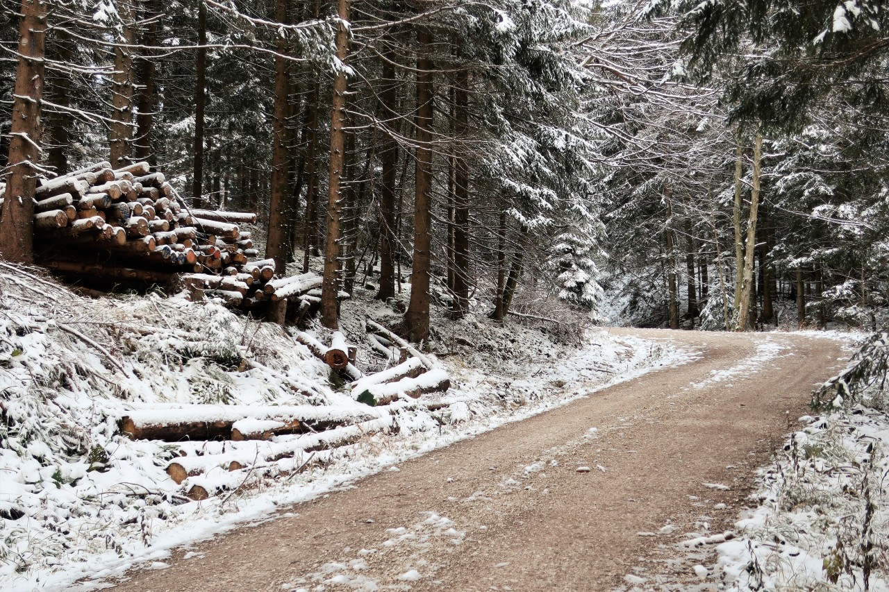
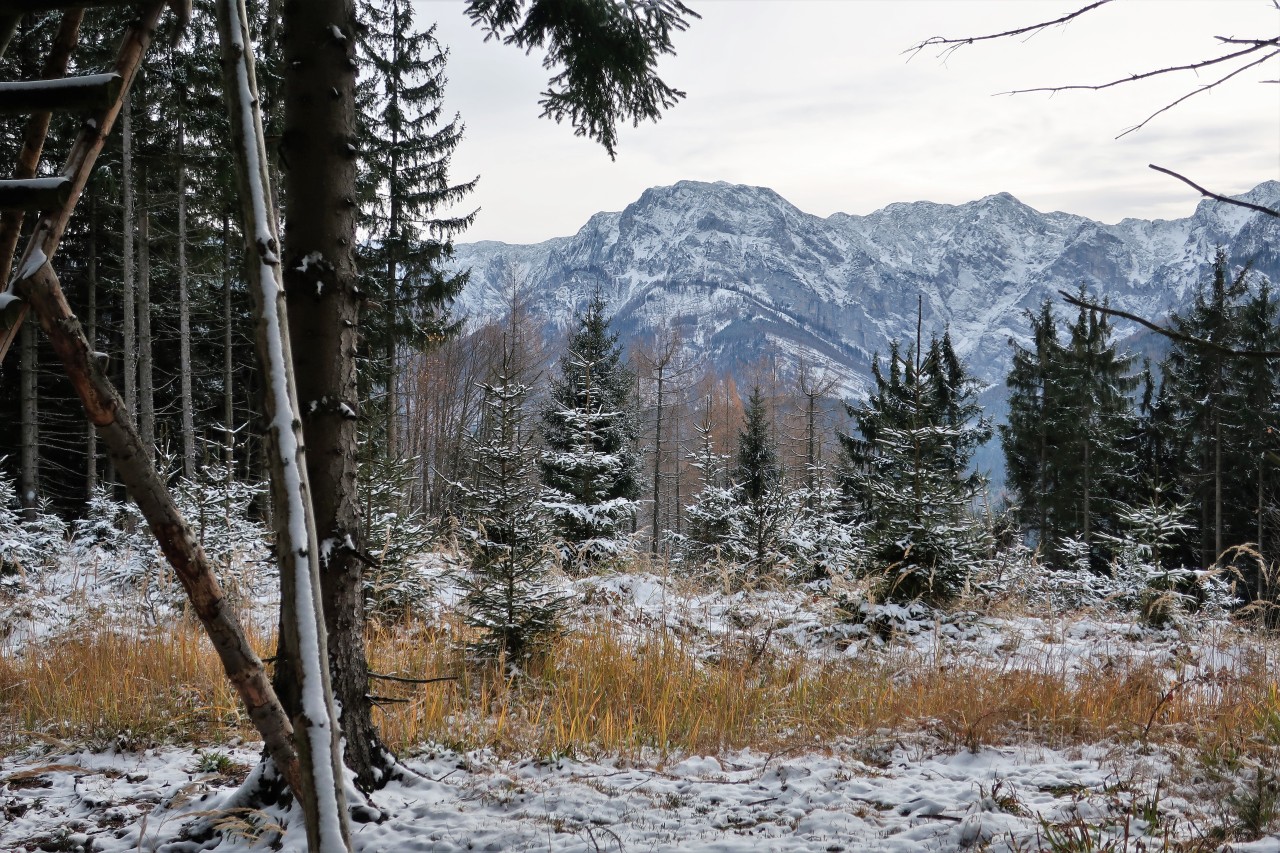
As altitude increases, it becomes more wintry.
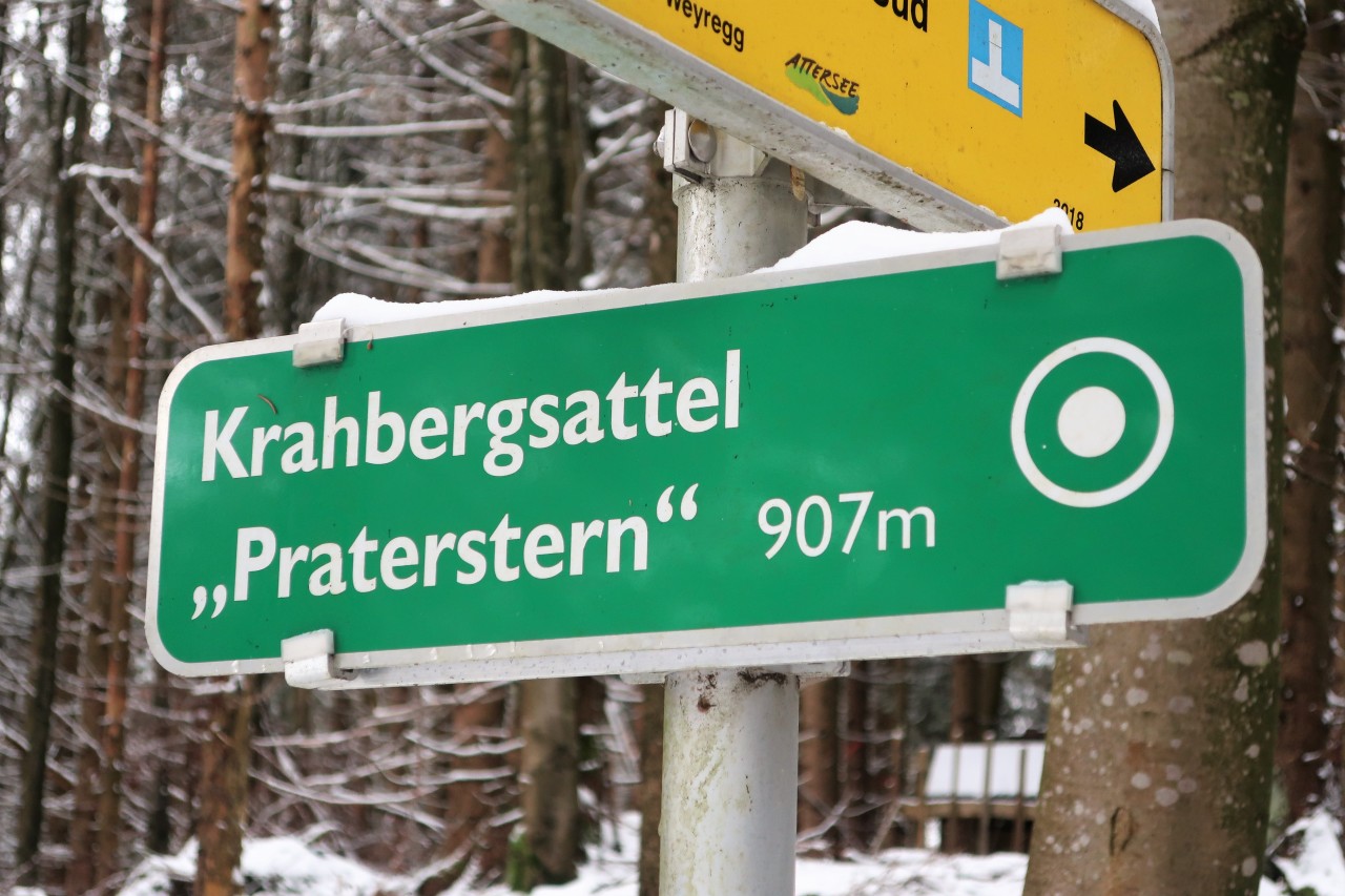
A Praterstern is not only in Vienna! - From here, by the way, it goes down again significantly.
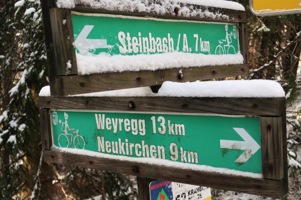
Weyregg is right!
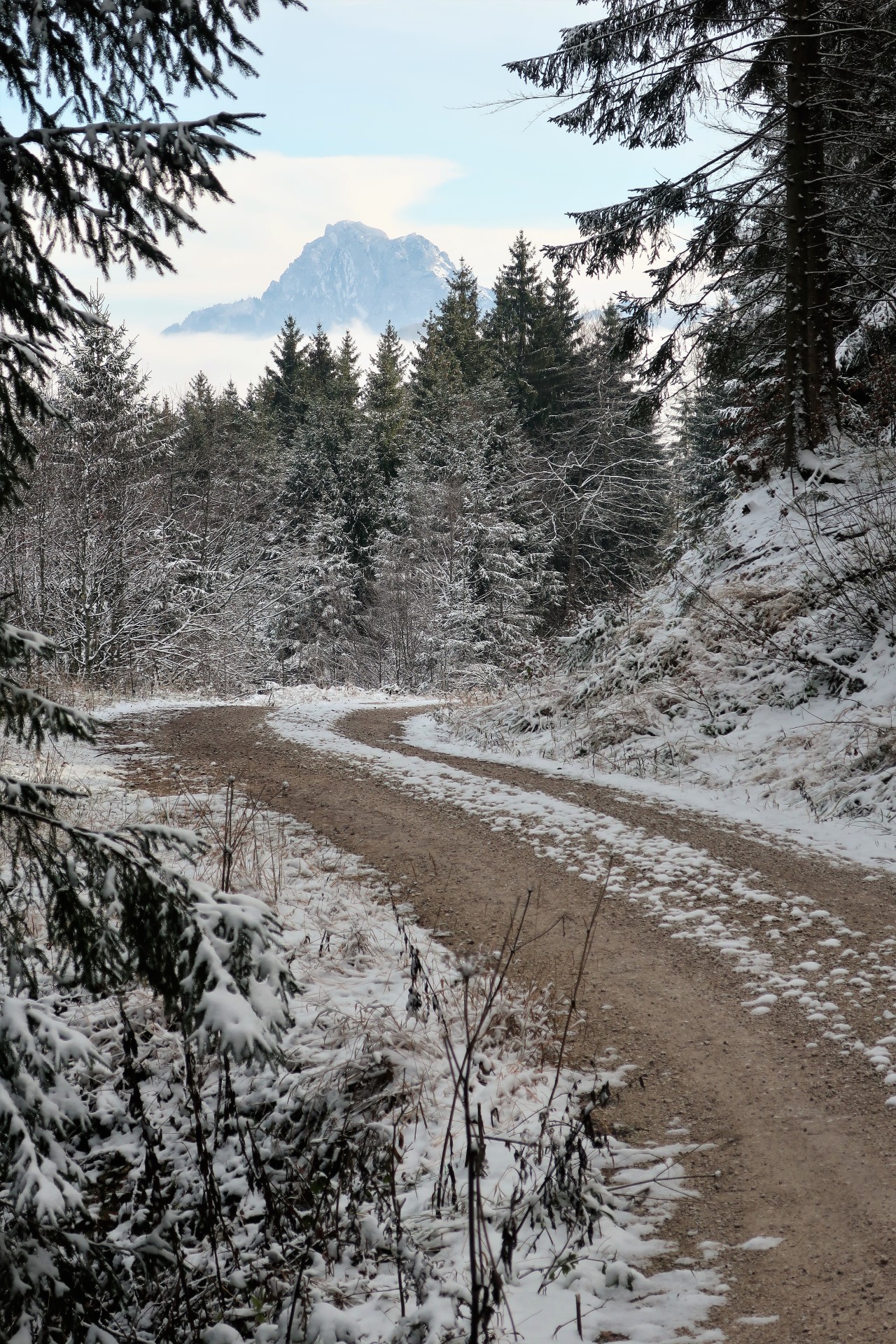
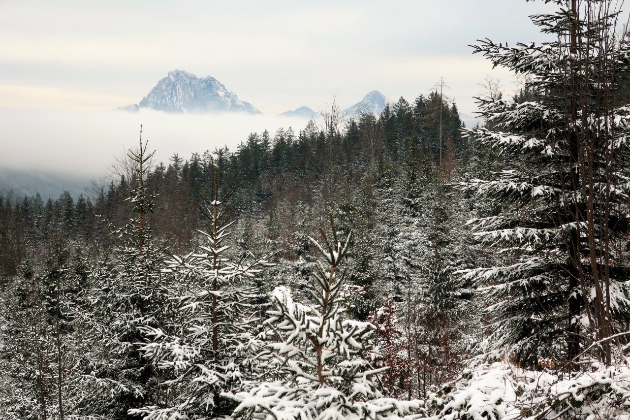
From the fog rises the Traunstein.
In the background the Miesenberg, which is also called T (h) alerberg.
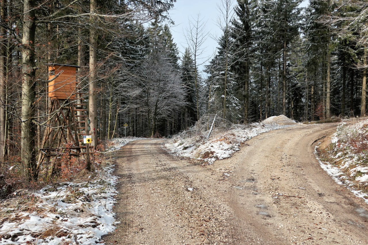
At this high stand right up
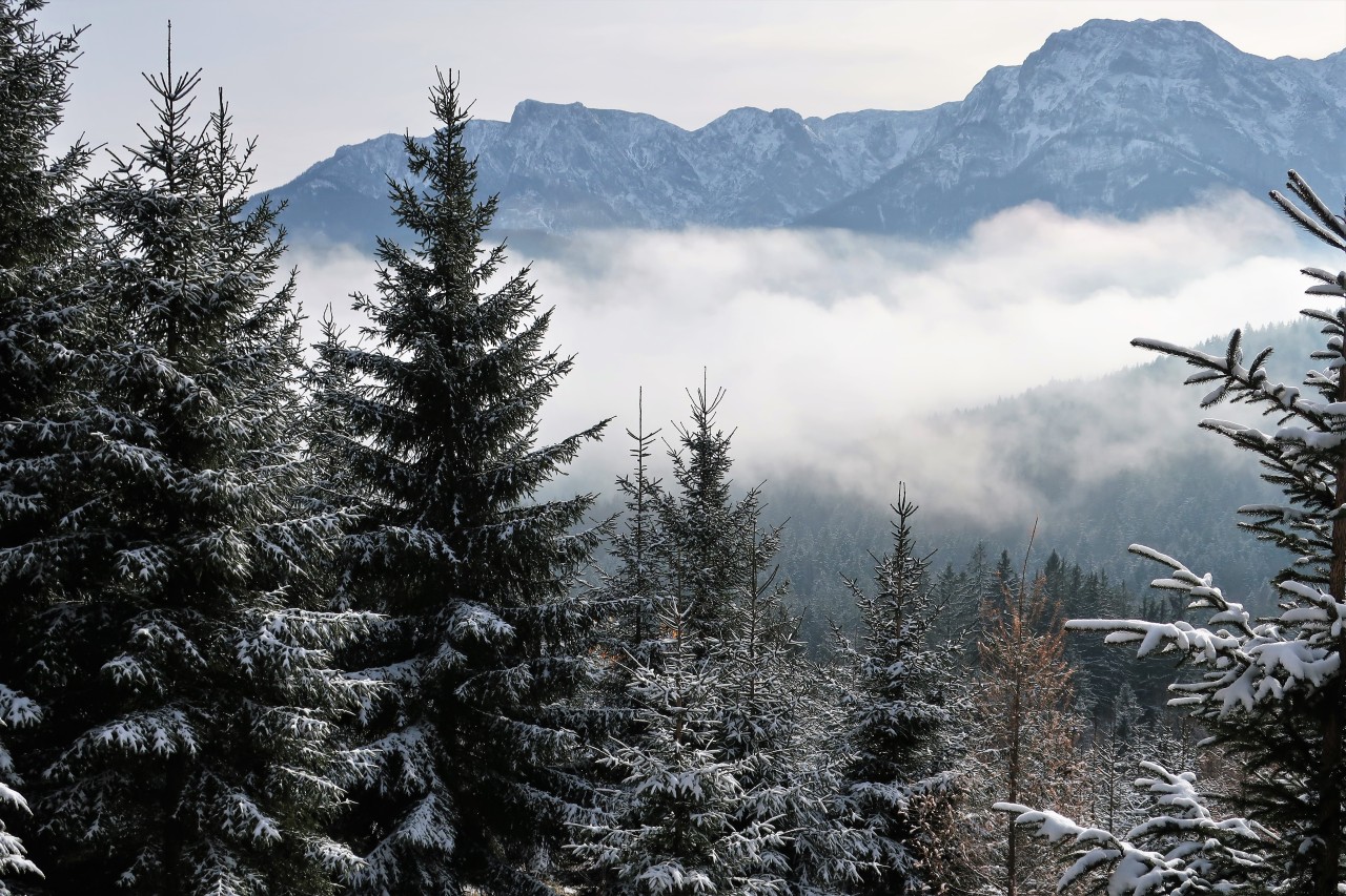
Höllengebirge
At this point, I do not follow the arrow, but go only when the path in the background left up to the summit. Incidentally, the last 500 meters turn out to be very muddy!
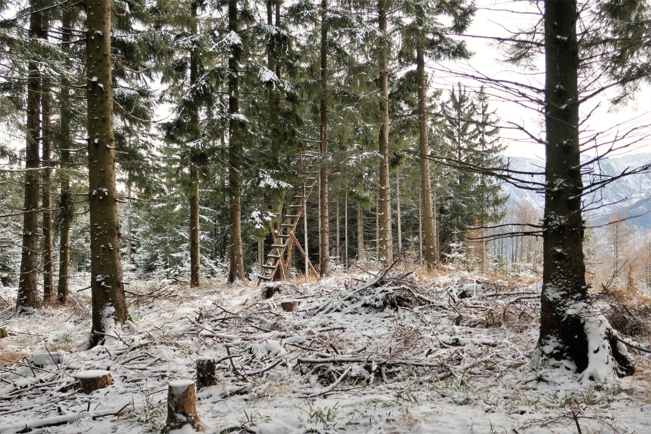
The unspectacular summit of Miesen or T (h) alerberges (993 m)
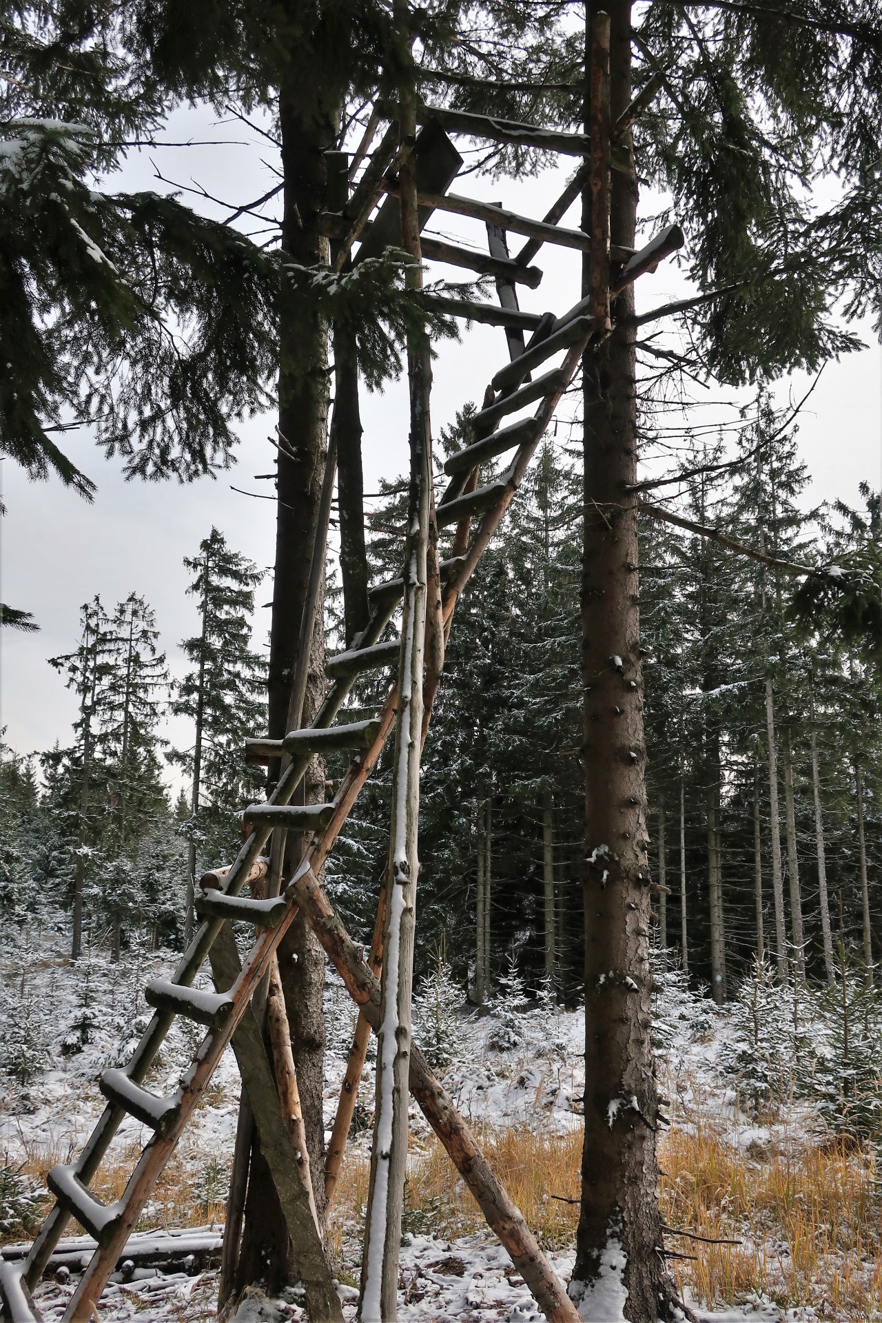
The sprouts are too slippery for me; I prefer to stay on the ground!
CQ SOTA! CQ SOTA! - A man with whom I have already exchanged a few words comes up to me: "We can save ourselves the radio! I'm the Heinz, OE5EEP! "- Great hello! We know each other from the radio, but have never had the pleasure personally ...
While Heinz comes quickly to his QSOs at 30 and 20 m and soon descends again, I torture myself on 2 m and 70 cm.
Finally, to avoid falling into the darkness, I also step on the way back.
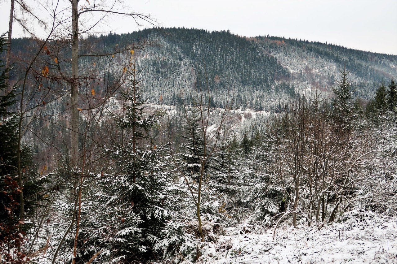
Review of Miesenberg ...
... and Traunstein
Back at the car. - The way over the bridge in the background leads by the way via Hochleckenkogel on the Brunnkogel. The latter is also a SOTA Summit.
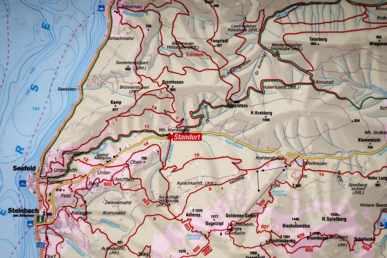
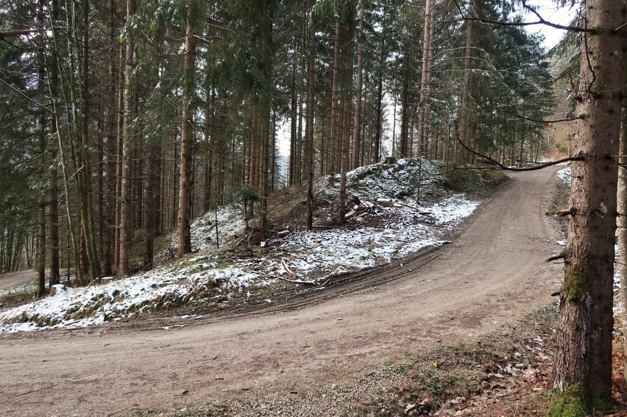
Overview…
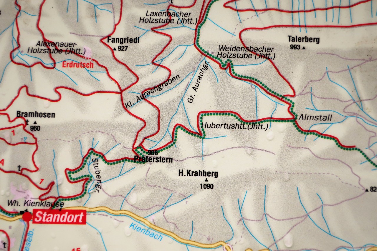
... and detail
No comments:
Post a Comment